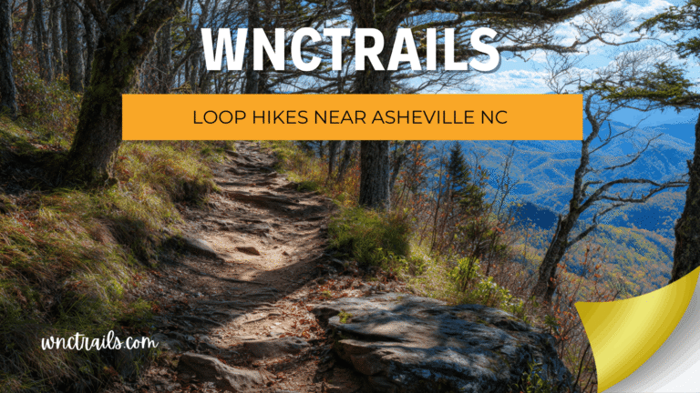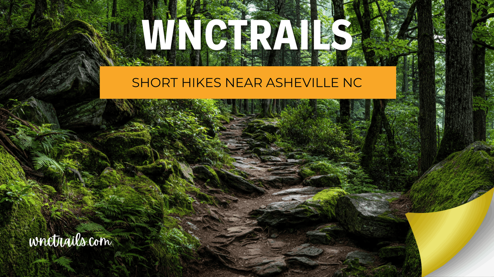
Short Hikes Near Asheville NC: Big Views in Under 3 Miles
Not every great hike needs to be a full-day commitment. Maybe you have two hours between check-in and dinner, kids with limited energy, or a packed itinerary that still deserves a real taste of the Blue Ridge. The problem? Searching for “short hikes near Asheville NC” returns trails mislabeled as quick that turn into 4-hour ordeals — wrong distances, missing time estimates, or zero context on what’s actually at the end of the path. At WNC Trails, every short route is locally verified with accurate round-trip distance, realistic time estimates, and honest scenery ratings — so you can pick a trail that fits your day, not derail it.
How WNC Trails Defines “Short” — And Why It Matters
Recommended Tools
Disclosure: This page may contain affiliate links.
- Hiking Shoes ” Check current pricing
- Daypack ” Check current pricing
- Trekking Poles ” Check current pricing
Short is relative — until you put a number on it. A trail listed as “2.4 miles” on one platform might include an access road walk that adds 45 minutes each way. Another might omit the out-and-back return entirely, listing only the one-way distance. These are not honest short hike listings. They’re traps.
The WNC Trails Short-Hike Standard
Every trail in our short-hike category is verified to meet all of the following:
- 📏 Under 3 miles round-trip — true trailhead-to-destination-and-back distance, no access road padding
- ⏱️ Completable in under 2 hours — timed at a comfortable, non-athletic pace including a 10-minute stop at the destination
- 🎯 A clear payoff — waterfall, summit view, historic site, or scenic overlook at the destination; not a loop through undifferentiated forest
- 🅿️ Verified parking access — lot size, fee status, and overflow options confirmed by local scouts
If a trail meets distance and time but delivers nothing at the end worth stopping for, it doesn’t make our short-hike list. Short doesn’t have to mean settling.
8 Best Short Hikes Near Asheville NC (Locally Verified)
Eight routes — under 3 miles each, all verified on the ground — that prove you don’t need a full day to experience the best of Western North Carolina.
1. Lover’s Leap Overlook — Hot Springs (1.5 mi RT | 45 min | River Views)
A short but satisfying climb above the French Broad River to a dramatic overlook — one of the most rewarding effort-to-payoff ratios on any short trail near Asheville. Wide, well-maintained path with clear signage from the Hot Springs town center trailhead. WNC Trails time check: 45 minutes at a casual pace including 10 minutes at the overlook. Bonus: Hot Springs has excellent post-hike dining and a natural hot spring spa for recovery.
2. Craggy Pinnacle — Blue Ridge Parkway MP 364.1 (1.6 mi RT | 50 min | Alpine Summit)
One of the shortest routes to a genuine mountain summit near Asheville — a rhododendron-tunnel trail through ancient heath balds to a rocky open crest above 5,500 ft. The views stretch from the Black Mountains to the Smokies on clear days. Best season for this short hike: Mid-June for peak rhododendron bloom (WNC Trails updates bloom status weekly in season); fall for color and clear skies. Parkway access: Road status updated in real time on WNC Trails — closes seasonally and during ice events.
3. Looking Glass Rock Overlook — Pisgah National Forest (0.2 mi RT | 10 min | Iconic View)
If you only have 15 minutes to spare, this is your trail. A flat, paved pull-off path leads to the clearest view of Looking Glass Rock — the massive 400-ft granite dome that defines the Pisgah skyline. No elevation, no technical features. WNC Trails note: This is the overlook trail, not the summit trail (which is 6.5 miles RT and strenuous). A critical distinction that generic apps consistently conflate — causing frustrated visitors who showed up expecting a 10-minute walk and finding a trailhead for a 3-hour climb.
4. Skinny Dip Falls — Pisgah National Forest (0.4 mi RT | 20 min | Swimming Hole)
Western North Carolina’s most beloved quick waterfall hike — a flat, shaded path through a hardwood cove to a series of cascading natural slides and swimming holes on the upper Davidson River. Best for: Families, summer visitors, and anyone wanting a waterfall experience without a full-day commitment. Seasonal note: Swimming is safe from late May through September; water level and safety conditions updated on WNC Trails after significant rainfall. Parking: Small pullout on the Blue Ridge Parkway — fills fast on summer weekends; arrive before 9 a.m. or after 4 p.m.
5. Sam Knob Summit — Pisgah National Forest (2.8 mi RT | 1 hr 20 min | Bald Views)
The shortest route to a genuine open-bald summit in the Pisgah high country — a wide, grassy Art Loeb spur trail to the 6,050-ft summit of Sam Knob with sweeping views of the Black Balsam ridge and the upper Davidson River watershed. Steady but never brutal elevation gain. WNC Trails distinction: This trail shares a trailhead with Black Balsam Knob — our listing clearly separates the two routes, distances, and time estimates so you don’t accidentally commit to the longer hike. Road note: FR-816 (Black Balsam Road) is unpaved; passable for most vehicles in dry conditions.
6. Graveyard Fields Lower Falls — Blue Ridge Parkway MP 418.8 (1.5 mi RT | 45 min | Waterfall)
One of WNC’s most-visited short hikes for good reason — a well-maintained meadow-and-forest trail to a dramatic two-tiered 60-ft waterfall in a glacially carved basin. Wide, clearly signed, and accessible for most fitness levels. Crowd reality: Extremely popular on summer and fall weekends — WNC Trails notes that the parking lot fills before 8:30 a.m. on peak days. Arrive early or plan a weekday visit. Extend the hike: Add the Upper Falls loop (1.0 mi additional) if conditions and time allow — WNC Trails documents both as separate, independently rated routes.
7. Rattlesnake Lodge Trail — US-70 Near Black Mountain (2.0 mi RT | 1 hr | Historic Ruins)
A shaded, well-graded forest walk on the Appalachian Trail corridor to the stone foundations of an early 1900s mountain resort — a short hike with genuine historical character. Gradual elevation gain, wide path, clearly signed junctions. Why it’s on our short list: It’s one of the few short trails near Asheville with a destination that surprises — visitors consistently rate the ruins as more interesting than they expected. Parking: Roadside pullout on US-70 (free) — WNC Trails maps exact coordinates so you don’t miss the unmarked entrance.
8. Max Patch Summit — Hot Springs Area (1.4 mi RT | 40 min | 360° Views)
The single most photogenic short hike within two hours of Asheville — a gentle open-meadow ascent to the 4,629-ft Appalachian Trail bald summit with unobstructed 360-degree mountain views in every direction. The trail itself is simple; the access logistics are not. Critical planning note: Weekend reservations required May–October (20-car limit strictly enforced). WNC Trails links directly to the current reservation portal and updates availability status in real time. Access road: FR-1182 is unpaved with a rough 4-mile approach — high-clearance recommended; conditions flagged after rain events.
The Hidden Cost of a Bad Short Hike Listing: Time You Can’t Get Back
For hikers with a full day and flexible plans, a mislabeled trail is annoying. For visitors on a two-hour window — squeezing in a trail between a downtown lunch and a winery tour, or managing the energy levels of a 7-year-old — a bad listing doesn’t just waste time. It can ruin the experience entirely.
The 3 Most Common Short-Hike Listing Errors WNC Trails Fixes
- One-way distance listed as round-trip: A trail described as “0.8 miles” that’s actually 0.8 miles one way — meaning 1.6 miles and twice the time you planned for. WNC Trails always lists true round-trip distance, clearly labeled.
- No realistic time estimate: Distance alone doesn’t tell you how long a hike will take. A 1.5-mile trail that gains 600 ft takes very different from a 1.5-mile flat loop. WNC Trails provides timed estimates at a comfortable non-athletic pace — the way most visitors actually hike.
- Missing destination description: Many short-trail listings describe the path but not what’s at the end of it. WNC Trails rates every destination on a 1–5 payoff scale — views, waterfall quality, historical interest — so you can match the hike to what you actually came to see.
Short Hikes Near Asheville by Time Available: A Quick-Reference Guide
| Time Available | Best Short Trail Pick | Round-Trip Distance | Payoff |
|---|---|---|---|
| 15–20 minutes | Looking Glass Rock Overlook | 0.2 mi | Iconic granite dome view |
| 30–45 minutes | Skinny Dip Falls | 0.4 mi | Waterfall + swimming hole |
| 45–60 minutes | Max Patch Summit | 1.4 mi | 360° mountain panorama |
| 60–75 minutes | Graveyard Fields Lower Falls | 1.5 mi | 60-ft tiered waterfall |
| 75–90 minutes | Lover’s Leap Overlook / Rattlesnake Lodge | 1.5–2.0 mi | River views / Historic ruins |
| 90–120 minutes | Sam Knob Summit / Craggy Pinnacle | 1.6–2.8 mi | Open bald summit views |
Parking & Timing Tips for Short Hikes Near Asheville
Short hikes draw big crowds — precisely because their accessibility makes them attractive to everyone visiting Western North Carolina. The most popular short trails near Asheville can have full parking lots before 9 a.m. on summer and fall weekends, and unlike longer hikes where visitors self-select, short trails attract every age and ability level simultaneously.
WNC Trails Parking Intelligence for Short Routes
- ⏰ Arrival time windows by season and day of week — specific recommendations for each trail, not generic advice
- 🔄 Overflow parking alternatives — documented nearby options when primary lots are full (critical for Graveyard Fields, Craggy Pinnacle, and Max Patch)
- 📋 Reservation requirements — Max Patch weekend permit system with direct booking link; other permit-required short routes flagged clearly
- 🅿️ Fee alerts — America the Beautiful Pass accepted where applicable; fee amounts current as of last local verification date
- 🛣️ Access road conditions — unpaved road status updated after rain events for FR-816 (Black Balsam/Sam Knob) and FR-1182 (Max Patch)
Key Considerations
When planning a short hike near Asheville, several factors affect your experience:
- Trail Difficulty: Even short distances can involve steep grades or uneven footing. Review trail descriptions and elevation profiles if mobility or fitness is a concern.
- Seasonal Conditions: Trails can be muddy in spring, icy in winter, or crowded during peak leaf season. Early mornings or weekdays often mean fewer people on the trail.
- Parking: Popular short hikes can have limited parking, especially on weekends. Arrive early or have a backup plan in mind.
- Accessibility: Some trails are paved or graded for strollers and wheelchairs (such as at the North Carolina Arboretum), while others require basic trail shoes and sure footing.
- Dog Policies: Most national forest trails allow leashed dogs, but check for restrictions in certain nature preserves or state parks.
- Facilities: Restrooms and water are not always available at trailheads. Plan accordingly for shorter outings.
Always check current trail conditions and weather before heading out. The Blue Ridge Parkway and some public lands close seasonally or during severe weather.
Common Use Cases
- Quick Nature Breaks: Locals and visitors alike use these short hikes for a lunchtime walk, a morning reset, or a scenic detour during a road trip.
- Family Outings: Many trails near Asheville are suitable for children and offer educational opportunities, such as interpretive signs or accessible overlooks.
- Introductory Hikes: Beginners or those acclimating to mountain terrain can build confidence on shorter, well-maintained routes.
- Photography: Short hikes often lead to iconic views or waterfalls, making them ideal for photographers with limited time or heavy equipment.
- Dog Walks: The abundance of pet-friendly trails means you can easily find a new setting for your daily walk.
- Stretching Your Legs on a Road Trip: The proximity of many trailheads to the Blue Ridge Parkway makes it simple to stop for a brief hike en route to other destinations.
Short hikes are also a great way to introduce visitors to the variety of ecosystems in Western North Carolina without overwhelming them with distance or elevation gain.
Make Every Hour Count in Western North Carolina
Some of the most memorable moments in Western North Carolina happen on the shortest trails — a 20-minute walk to a view that stops you in your tracks, a 40-minute waterfall hike that your kids will talk about for years, a quick summit that makes the whole trip feel worth it. WNC Trails exists to make sure those moments happen as planned — with verified distances, honest time estimates, and the parking reality check that every visitor needs before they leave the hotel.
Big mountains. Small time commitment. No surprises. That’s the WNC Trails promise — on every trail, short or long.
Frequently Asked Questions
- What is considered a short hike near Asheville, NC?
Most short hikes are under 5 miles round trip. Many of the most popular options are between 1 and 3 miles, often with minimal elevation gain. - Are there short hikes suitable for kids or beginners?
Yes. Trails like the Folk Art Center loops, Moore Cove Falls, and the North Carolina Arboretums Bent Creek Trail are ideal for families and new hikers. - Do any short hikes near Asheville offer mountain views?
Absolutely. Craggy Gardens, the Mount Pisgah Trail (to the first overlook), and the Blue Ridge Parkway overlooks all provide sweeping vistas with minimal hiking required. - Can I bring my dog on these hikes?
Most national forest trails near Asheville allow leashed dogs. Always check the specific trails regulations before visiting. - Is there an entrance fee for these hikes?
Most short hikes on public lands are free, though some areas like the North Carolina Arboretum or Chimney Rock State Park may charge for parking or admission. Check current pricing before your visit. - When is the best time to hike near Asheville?
Spring and fall are especially scenic, but short hikes are accessible year-round. Early morning or late afternoon often means fewer crowds and cooler temperatures. - Where can I find reliable trail maps or updates?
Resources like the Blue Ridge Parkway Visitor Center, Pisgah National Forest ranger stations, and WNC Trails detailed trail guides are excellent starting points for up-to-date information.
Short hikes near Asheville, NC make it easy to experience the regions natural beauty at your own pace. With careful planning and an eye for the seasons, even a brief outing can offer memorable views and a refreshing break from the everyday.
Continue Exploring These Trails
- Long Hikes Near Asheville Nc
- Family Friendly Hikes Near Asheville Nc
- Blue Ridge Parkway Hikes
- Pisgah National Forest Hikes
🥾 Find your perfect short hike near Asheville — filter by time available, distance, payoff type, and current conditions.
👉 Browse All Short Hikes on WNC Trails → | 👉 Check Today’s Trail Conditions →