Trail status (checked September 2026) — conditions change; confirm with the managing agency before you go.
- Mount Mitchell State Park is open but reachable only from the Asheville side of the Blue Ridge Parkway while Helene repairs continue north of the park. A section of the Old Mitchell Trail (park office to the Camp Alice Trail junction) and several connecting Pisgah National Forest trails were still closed. Source: NC State Parks
Picking a fall foliage hike near Asheville isn’t really about finding a pretty trail — every trail in this region looks decent in October. The real decision is timing your elevation correctly, because color moves down the mountain over several weeks, and choosing a viewpoint that actually delivers a wide, layered view instead of a tunnel of trees. This guide breaks down which of the verified trails in this cluster reward you at different points in the season, which viewpoints locals actually rate above the famous ones, and what to expect at trailheads that fill up fast once the ridgelines turn orange.
Best Fall Foliage Hikes Near Asheville, Ranked by Elevation and View Quality
1. Craggy Pinnacle Trail
0.7 miles, moderate, about a 20-minute walk to a 360-degree summit view. This is the one people skip because they stop at the more famous Craggy Gardens picnic area — that’s a mistake in fall. A 360-degree summit means you get color from every direction at once, across the Black Mountain Range, without needing a long approach.
2. Craggy Gardens Trail
0.3 miles to the shelter, 0.5 miles to the picnic area, moderate. This self-guided nature trail through a rhododendron bald opens up views toward Montreat and the Black Mountains, and because it’s short, it’s a good pick if you’re pairing it with Craggy Pinnacle on the same stop along the Parkway.
3. Mount Pisgah Trail
1.3 miles, moderate to strenuous, with a steep, rocky second half. The summit view over the French Broad River valley is one of the more dramatic in the immediate Asheville area, and because the trail gains elevation quickly, you often catch color at the summit before it’s arrived at the trailhead.
4. Ivestor Gap Trail
3.7 miles, easy, with about 130 feet of elevation change. This is the trail nobody mentions when they talk about Shining Rock Wilderness, because it’s flatter and less dramatic than the peaks around it — but that’s exactly why it works for foliage. You get sustained views of Shining Rock’s high balds without the climbing required by Cold Mountain or Old Butt Knob.
5. Art Loeb Spur Trail
0.6 miles, strenuous, about 200 feet of elevation change, with panoramic views reported up to 70 miles. Short mileage, real elevation punch — this is the highest view-per-step ratio on this list, and on a clear fall day the visibility distance means you’re looking across multiple ridgelines of color at once, not just one valley.
6. Cold Mountain Trail
1.4 miles, strenuous, about 900 feet of elevation change, with summit views from exposed rock. This one earns its strenuous label — 900 feet in 1.4 miles is a real climb — but the exposed rock at the top means an unobstructed view rather than the partial views you get through tree gaps on gentler trails.
7. John Rock Trail
1.8 miles, moderate, about 750 feet of elevation change. The granite dome at the top delivers a view of the fish hatchery, Looking Glass Rock, and Pilot Mountain — three distinct landmarks framed by fall color across the Pisgah Ranger District, which is more variety than most single-summit hikes offer.
8. Max Patch Loop
A short loop to the summit, easy to moderate, on the Appalachian Trail. The 360-degree grassy bald here is one of the most photographed fall spots in WNC for a reason — open sky in every direction with no tree cover to block the view — but that popularity means the small lot fills early on fall weekends.
9. Lookout Trail (Montreat)
Moderate to strenuous, and the most popular trail in Montreat. Mountaintop views at the peak make this a solid choice if you want a foliage hike closer to Asheville proper rather than driving out toward Pisgah or the Parkway.
How We Ranked These
Four criteria decided this list, and none of them are just “pretty trail.” First, view exposure — trails that end at an actual open summit, bald, or rock outcrop beat trails that end in dense forest, because fall color reads best when you can see a wide spread of ridgeline at once. Second, elevation range across the list — a genuinely useful foliage guide needs high-elevation options (Craggy Pinnacle, Cold Mountain) that turn early and lower-elevation options that turn later, so the list stays useful across several weeks rather than one weekend. Third, realistic effort versus payoff — a 0.6-mile strenuous trail that delivers a 70-mile view earns a spot even though it’s short, because the view-per-step math matters more than raw mileage. Fourth, honest access — every trail here has a real, currently accessible trailhead; nothing closed by storm damage or under an active advisory made this list, even if it would otherwise fit the angle.
Elevation Timing: Why the Same Week Looks Different on Every Trail
Fall color in the mountains around Asheville doesn’t arrive all at once — it starts at the highest elevations and works its way down over several weeks. That’s why high-elevation trails like Craggy Pinnacle or Cold Mountain tend to turn well before lower trails like the ones in Montreat. If you’re planning a single trip and want to hit peak color, the general rule locals use is to check higher elevation trails earlier in the season and lower elevation trails later — but exact peak dates shift year to year with weather, so check current conditions and recent trip reports before you commit to a drive.
Parking and Trailhead Reality
The honest truth about fall hiking near Asheville is that the views are only half the challenge — getting a parking spot is the other half. Max Patch‘s small lot fills early on fall weekends, often well before mid-morning, and once it’s full, people park along the shoulder in ways that make the access road tighter for everyone. Graveyard Fields‘ overlook lot on the Blue Ridge Parkway has the same problem; it fills early on weekends and especially in fall, so an early start isn’t optional if you want to park at the trailhead rather than walk in from a roadside spot. Craggy Gardens and Craggy Pinnacle share a Parkway pull-off that gets busy but tends to turn over faster since both trails are short. If your plan depends on a specific trailhead having space, build in a backup — either an earlier arrival time or a second trail on this list you’d be equally happy hiking.
Weather and Access Notes
Several of these trails sit on or near the Blue Ridge Parkway, which means weather and road status matter as much as trail conditions. Mount Mitchell State Park, home to the Mount Mitchell Trail and Black Mountain Crest Trail, is currently reachable only from the Asheville side of the Parkway while repairs continue north of the park — plan your route accordingly rather than assuming through-access from the other direction. High elevation trails like Cold Mountain and Craggy Pinnacle can see wind, fog, or an early frost well before conditions change at lower elevations, so a clear afternoon at the trailhead doesn’t guarantee clear conditions at a 5,000-plus foot summit. As always with any of these routes, check current conditions before you go — trailhead status, road closures, and weather can all shift with little notice in this region, especially given ongoing Hurricane Helene-related repairs affecting some Parkway sections and trails outside this list.
What to Bring
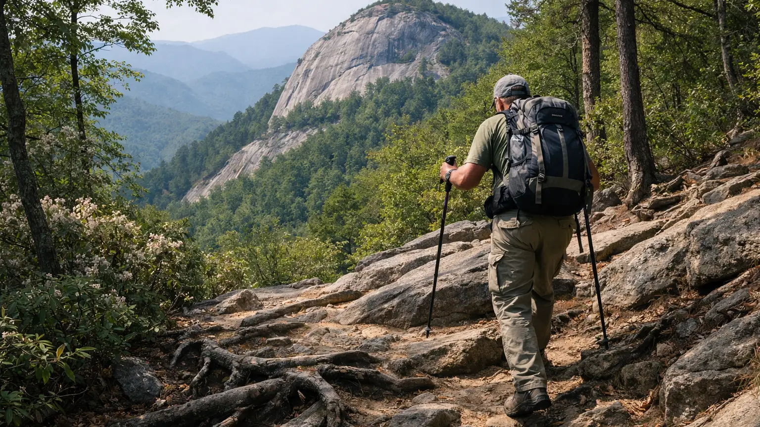
Layers matter more in fall than almost any other season here — a summit like Cold Mountain or Craggy Pinnacle can be 15-20 degrees cooler and considerably windier than the trailhead, and exposed rock viewpoints have nothing to block that wind. Bring a headlamp even for short trails if you’re timing a hike around sunset light on the foliage, since fall daylight runs out earlier than most hikers expect. For anything with real elevation change — John Rock, Cold Mountain, Mount Pisgah — trekking poles help on the descent, especially if leaves are covering loose rock. And if you’re heading to Max Patch or Graveyard Fields on a weekend, treat parking as part of your gear list: know your backup trail before you leave home.
Frequently Asked Questions
What is the best fall foliage hike near Asheville for a short trip?
Craggy Pinnacle Trail is the strongest pick if you only have an hour or two — it’s a 0.7-mile, roughly 20-minute walk to a 360-degree summit view, which is a lot of payoff for a short commitment.
Which trail has the best view for the least effort?
Art Loeb Spur Trail. At 0.6 miles with about 200 feet of elevation change, it’s short, but panoramic views reported up to 70 miles make it one of the highest-value short hikes on this list.
Do I need to worry about parking for fall foliage hikes?
Yes, especially at Max Patch and Graveyard Fields. Both have small lots that fill early on fall weekends, so plan an early arrival or have a backup trail in mind.
Are the high-elevation trails colder in fall?
Noticeably so. Summits like Cold Mountain and Craggy Pinnacle can run significantly cooler and windier than the trailhead, so pack a layer even if the parking lot feels mild.
Is Mount Mitchell accessible right now?
Mount Mitchell State Park, including the Mount Mitchell Trail and Black Mountain Crest Trail, is currently reachable only from the Asheville side of the Parkway while repairs continue north of the park — check current conditions before planning your route.
For the full list of verified trails near Asheville — filterable by difficulty, distance, and current conditions — browse the WNC Trails directory at /directory-category/trails-hiking/. Conditions, road access, and parking availability change through the season, so check current conditions before you head out.
Related Pages
This guide is part of our best hikes near Asheville NC series, built only on officially verified trail data.