Trail status (checked September 2026) — conditions change; confirm with the managing agency before you go.
- Mount Mitchell State Park is open but reachable only from the Asheville side of the Blue Ridge Parkway while Helene repairs continue north of the park. A section of the Old Mitchell Trail (park office to the Camp Alice Trail junction) and several connecting Pisgah National Forest trails were still closed. Source: NC State Parks
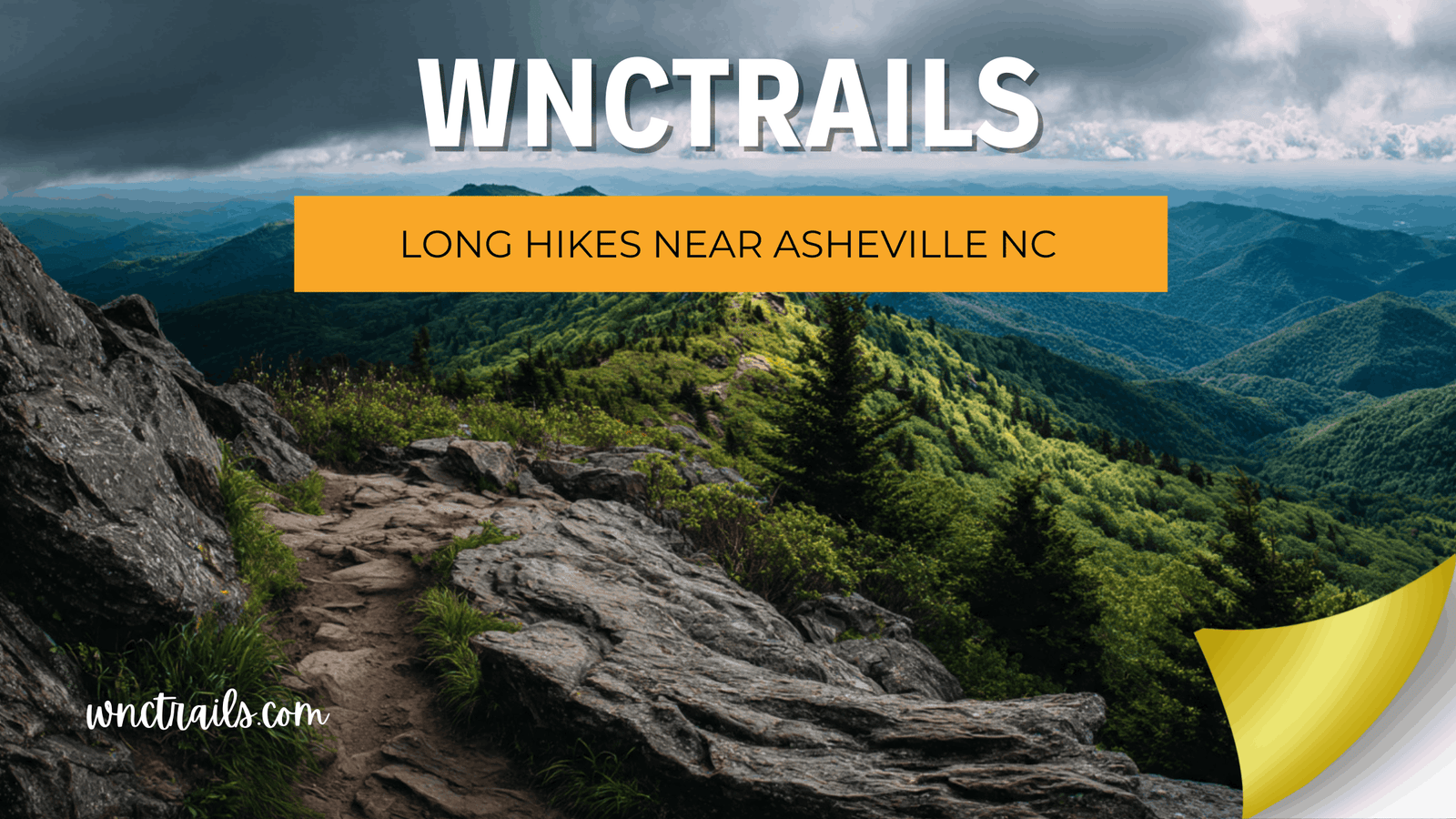
Not every hike near Asheville is a quick out-and-back to a waterfall overlook. If you’ve got a full day, sturdy boots, and want to actually feel like you earned the view, a different set of trails opens up — ones with real elevation gain, longer mileage, and the kind of exposed ridgeline payoff you don’t get from a half-mile stroll. This page focuses specifically on the long hikes near Asheville NC that reward a full-day commitment: summit climbs, backcountry ridge routes, and loops that mix distance with genuine terrain. We’ve pulled from verified trail data across the Asheville area, Pisgah National Forest, and the Black Mountain range to build a list you can actually plan a day around, plus honest notes on parking, seasonal access, and what these trails actually demand from you.
The Long Hikes Worth Planning a Full Day Around
1. Mount Mitchell Trail (5.6 miles one way, Strenuous)
This is the classic full-day objective for hikers based near Asheville — a one-way climb to the highest peak east of the Mississippi. At 5.6 miles one way, most hikers plan for it as an out-and-back or a point-to-point with a shuttle, and the strenuous rating isn’t exaggeration; the elevation gain over that distance is sustained. Note that Mount Mitchell State Park is currently reachable only from the Asheville side of the Blue Ridge Parkway while repairs continue north of the park, so factor that into your approach route.
2. Black Mountain Crest Trail (11.3 miles one way, Strenuous)
If Mount Mitchell Trail feels like an appetizer, this is the main course. At 11.3 miles one way and crossing multiple peaks above 6,000 feet, this is one of the longest and most demanding day-hike or backpacking routes in the immediate Asheville area. This isn’t a trail to underestimate — the mileage alone puts it well outside a casual afternoon, and the exposed high-elevation terrain means weather can turn quickly. Same access note applies: reach it from the Asheville side of the Parkway for now.
3. Black Mountain Trail (9.8 miles, Strenuous)
This is a backpacking-style route that passes the Buckhorn Gap shelter, which has a spring — useful information if you’re stretching this into an overnight rather than a single push. At 9.8 miles with a strenuous rating, it’s a legitimate full-day undertaking even without camping, and the shelter access makes it flexible for hikers who want the option to split the mileage across two days.
4. Old Butt Knob Trail (3.6 miles, Strenuous)
Don’t let the shorter mileage fool you — about 2,500 feet of elevation change over 3.6 miles makes this one of the steepest, most physically demanding trails in this cluster. The payoff is a string of views over Shining Rock Wilderness from several knobs along the way. This is a strong candidate to combine with Ivestor Gap Trail for a longer loop day rather than hiking it as a standalone.
5. Looking Glass Rock Trail (3.1 miles, Moderate)
With roughly 1,700 feet of elevation change packed into 3.1 miles, this trail earns its place on a long-hike list through intensity rather than raw distance. The panoramic summit view at the top is one of the better payoffs in the Pisgah Ranger District for the effort involved, and the climb is steady enough that you’ll want a full morning or afternoon rather than squeezing it in quickly.
6. Ivestor Gap Trail (3.7 miles, Easy) + Graveyard Fields Loop combo
On its own, Ivestor Gap Trail is a relatively gentle 3.7-mile walk with about 130 feet of elevation change, offering wide views of Shining Rock Wilderness from high balds. Where it earns a spot on a full-day list is in combination — hikers looking to build a longer day often link this with other trails in the Shining Rock area, including Old Butt Knob, to turn a moderate afternoon into a genuinely long backcountry day.
7. Pink Beds Loop Trail (5.0 miles, Easy)
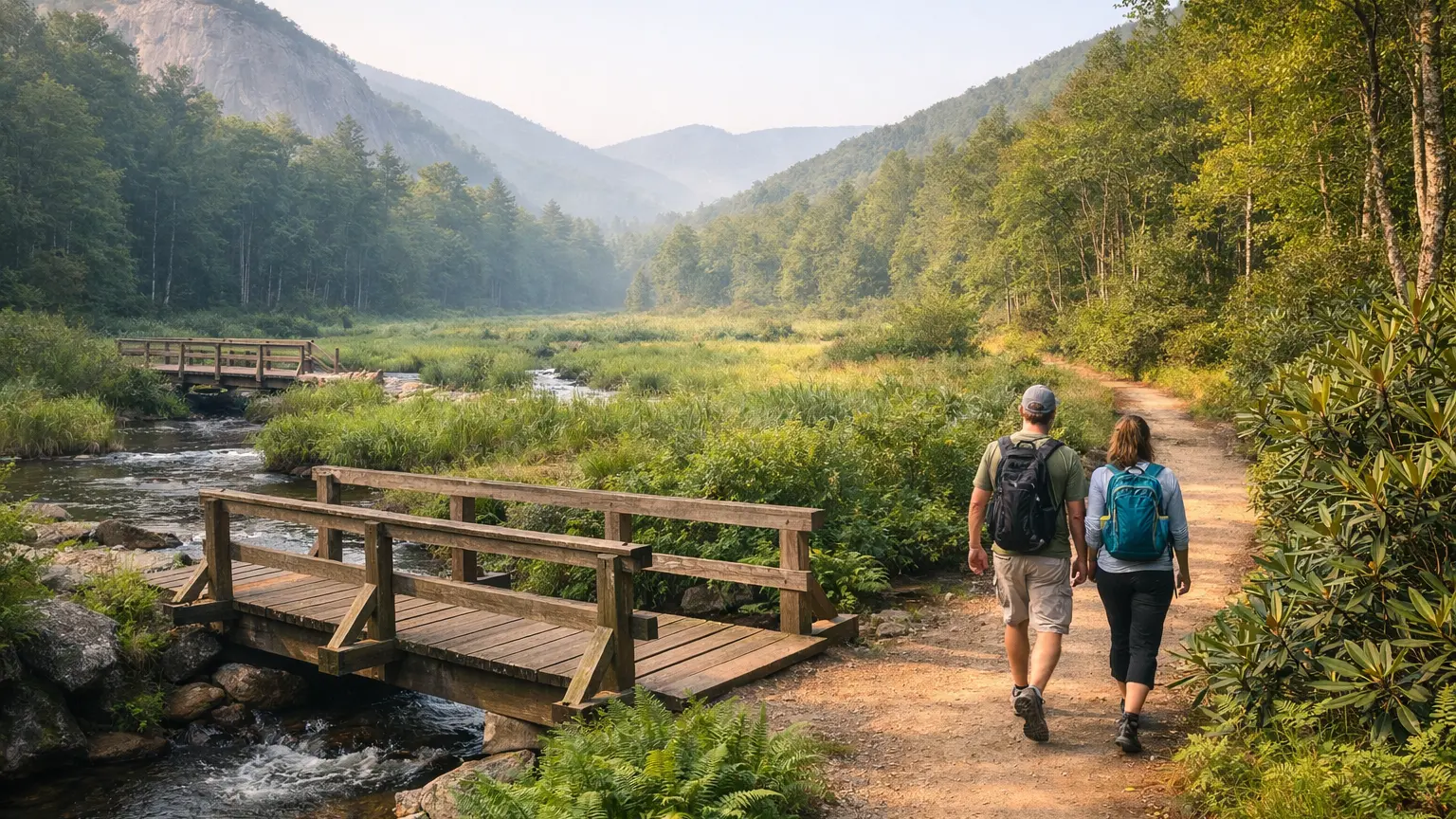
This is proof that a long hike doesn’t have to mean punishing elevation. At 5.0 miles with only about 100 feet of elevation change, Pink Beds Loop is a wetland valley walk with stream bridges — a full-day-worthy distance for hikers who want mileage without the climb. It’s a good option if your group has mixed fitness levels but still wants to log real miles together.
8. Graveyard Fields Loop (about 3.5 miles for the full loop with Upper Falls, Easy to moderate)
The full loop, including Upper Falls, runs about 3.5 miles through a mile-high valley managed by Pisgah National Forest, passing two waterfalls along the way. It’s on the shorter end for this list, but the terrain and elevation shifts within the valley make it feel like more than its mileage suggests, and it pairs well as a warm-up or cool-down to a longer day involving the nearby Shining Rock trails.
How We Ranked These
These aren’t ranked by mileage alone. Three criteria mattered most in building this list.
Total time commitment. A trail earns a spot here if it realistically demands most of a day, either through raw distance (Black Mountain Crest Trail, Black Mountain Trail) or through steep elevation packed into fewer miles (Old Butt Knob, Looking Glass Rock).
Access reliability. Every trail listed here has a currently known access path. Trails with unresolved storm damage or closures affecting the core route were left off this specific list, even if they’d otherwise qualify by distance.
Scenic payoff relative to effort. A long hike should deliver something at the end — a summit, a ridge view, a waterfall, or a genuine wilderness feel. Every trail here has a documented feature that justifies the mileage, not just distance for its own sake.
Parking and Trailhead Reality
Trailhead access varies a lot across this list, and it matters for planning your start time. The Mount Mitchell and Black Mountain Crest trailheads are currently reached only from the Asheville side of the Blue Ridge Parkway due to ongoing repairs on the section north of the park — build extra drive time into your plan and don’t assume a northern approach is open. Graveyard Fields‘ overlook lot at Blue Ridge Parkway milepost 418.8 fills early on weekends and especially during fall color season, so if your day includes that loop as a warm-up, get there before mid-morning. For the Shining Rock area trails (Ivestor Gap, Old Butt Knob), parking is more remote and less crowded, but that also means fewer amenities and a longer drive from Asheville proper — check current conditions before you go, especially after storms.
Seasonal Notes
High-elevation trails on this list — Mount Mitchell Trail, Black Mountain Crest Trail, and the balds along Ivestor Gap — are genuinely different hikes depending on season. Fall brings the best visibility and the worst crowds, particularly around Graveyard Fields and the Parkway overlooks. Winter can bring ice and exposed wind on the higher ridgelines, which changes the difficulty rating of trails like Black Mountain Crest Trail in ways the base rating doesn’t capture. Spring hikers should expect mud and high water on stream crossings within Pink Beds Loop and similar valley trails. Whatever the season, check current conditions before heading out, since access points along the Parkway and within Pisgah National Forest can shift with storm damage or seasonal closures.
What to Bring
For any of the strenuous, high-mileage trails on this list — Mount Mitchell Trail, Black Mountain Crest Trail, Black Mountain Trail, Old Butt Knob Trail — plan for a full day’s worth of water and food, not just a snack. These routes don’t have reliable resupply points, though the Buckhorn Gap shelter along Black Mountain Trail does have a spring if you’re extending into an overnight. Layers matter more on the higher-elevation routes, where temperature and wind can shift fast near exposed summits and balds. A paper map or offline GPS is worth carrying on the longer backcountry routes, since cell service is unreliable throughout much of Pisgah National Forest and the Black Mountain range.
Frequently Asked Questions
What’s the longest single hike near Asheville?
Among verified trails in this cluster, Black Mountain Crest Trail is the longest at 11.3 miles one way, crossing multiple peaks above 6,000 feet. Black Mountain Trail, at 9.8 miles, is the next longest and doubles as a backpacking route with shelter access.
Can I do Mount Mitchell Trail as a day hike?
Yes — at 5.6 miles one way, it’s commonly done as a day hike, though many hikers plan for a full day given the strenuous elevation gain. Confirm current Parkway access before you go, since the trail is currently reachable only from the Asheville side.
Which long hike has the least elevation gain?
Pink Beds Loop Trail is the flattest option on this list — 5.0 miles with only about 100 feet of elevation change, making it a good choice for hikers who want distance without a steep climb.
Are these trails good for a first long hike?
Pink Beds Loop and Graveyard Fields Loop are the more approachable entries here. Trails like Old Butt Knob, Black Mountain Crest, and Mount Mitchell involve serious elevation and remote terrain, and are better suited to hikers with prior long-distance or strenuous-trail experience.
Do any of these require permits?
None of the trails in this list carry a noted permit requirement in current verified data, but conditions and regulations can change — check current conditions and any posted Forest Service or state park notices before you go.
If you’re building out a full-day itinerary or want to compare these routes against shorter options nearby, browse every verified trail near Asheville in the WNC Trails directory, filtered by difficulty, distance, and current conditions, at /directory-category/trails-hiking/. As always, check current conditions before you head out — access points and trail status around Asheville can shift with weather and ongoing repair work.
Related Pages
This guide is part of our best hikes near Asheville NC series, built only on officially verified trail data.