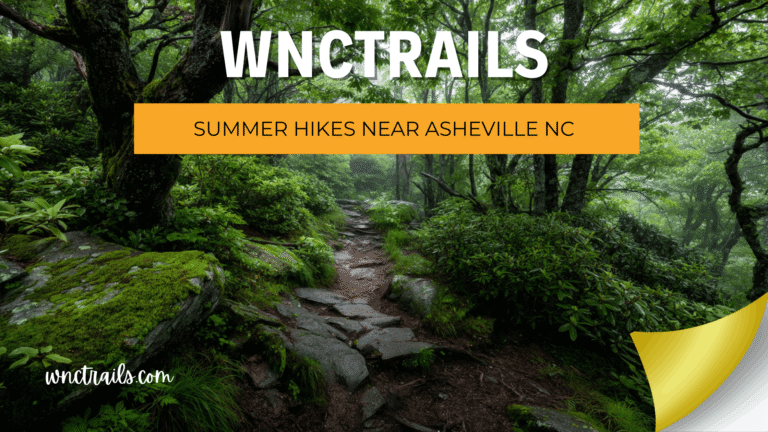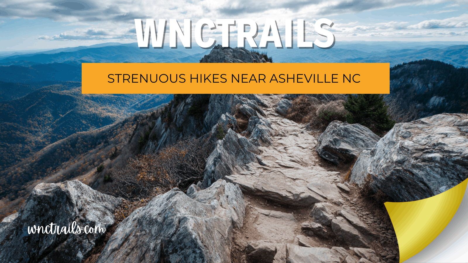
Strenuous Hikes Near Asheville NC: Push Your Limits on Verified Routes
You’re not here for a gentle walk — you’re ready to push hard, earn your elevation, and come back with legs that confirm it was real. The challenge with finding strenuous hikes near Asheville NC isn’t a shortage of options. It’s the gap between what a listing calls strenuous and what it actually is. Some platforms slap that label on anything with a hill; others bury genuinely demanding routes under vague moderate tags. At WNC Trails, strenuous means strenuous — verified on the ground with documented gradient data, technical hazards, water source locations, and the kind of honest detail that lets you show up fully prepared, not just optimistically ready.
Recommended Tools
Disclosure: This page may contain affiliate links.
- Hiking Shoes ” Check current pricing
- Daypack ” Check current pricing
- Trekking Poles ” Check current pricing
How WNC Trails Earns the Strenuous Label — No Rounding Down
In the Southern Appalachians, the difference between a hard moderate and a genuinely strenuous trail can mean the difference between a satisfying challenge and a dangerous situation. Western North Carolina’s terrain is unforgiving in ways that hikers from flatter regions consistently underestimate — dense rhododendron thickets that trap heat and block visibility, rapid-onset afternoon storms above 5,000 ft, and steep shale-and-root descents that punish tired legs. A label that isn’t honest about this is worse than no label at all.
The WNC Trails Strenuous Verification Criteria
A trail earns our strenuous rating when local scouts verify it meets one or more of these thresholds — and our listing specifies which ones apply:
- 🔺 Sustained elevation gain above 700 ft per mile — not just a total figure; per-mile gradient data verified by GPS track
- 🪨 Technical terrain requiring hands-on scrambling — exposed rock faces, mandatory hand placements, or cliff-edge traverses
- 🗺️ Active navigation required — unmarked wilderness sections, cairn-only routes, or off-trail approaches
- 🌊 Dangerous water crossings under seasonal conditions — thigh-deep or higher fords, no fixed crossing, impassable in high water
- ⏱️ Duration beyond safe single-day margins without early start — 8+ hours at standard pace; afternoon storm window unavoidable without pre-dawn departure
- 🌫️ Sustained exposure above 5,500 ft — lightning, visibility loss, and rapid weather change documented as active hazards on the route
Every WNC Trails strenuous listing flags which criteria apply — so you know whether you’re facing a fitness challenge, a technical challenge, a navigation challenge, or all three simultaneously.
7 Best Strenuous Hikes Near Asheville NC (Locally Verified)
Seven genuinely demanding routes — verified end-to-end by WNC Trails local scouts — that represent the full range of what strenuous hiking looks like in Western North Carolina. From sustained vertical slogs to technical wilderness scrambles, these are the routes that earn their rating every single time.
1. Pinnacle of Bearwallow — Harmon Den Area (6.5 mi RT | Strenuous | Sustained Gradient)
One of the most consistently demanding elevation-gain-per-mile routes near Asheville — a relentless 2,200-ft climb over 3.2 miles to a remote ridge summit with sweeping views of the Great Balsam and Pisgah ranges. The trail surface is mostly solid hardpack but the gradient barely relents from mile 1 through the summit. WNC Trails note: This trail appears on almost no major platform and was fully verified by our local scout team in spring 2025. Zero signage after the first mile — download the WNC Trails offline map before you leave cell range. Best for: Hikers who want a genuine strenuous challenge with near-zero crowds.
2. Mount Mitchell via Commissary Trail — Black Mountain Campground (10.4 mi RT | Strenuous | Highest Peak East of Mississippi)
The serious hiker’s route to the highest summit east of the Mississippi — 3,600 ft of elevation gain over 5.2 miles of unbroken switchbacks through northern hardwood and boreal spruce-fir forest to the 6,684-ft summit. The trail is well-maintained but the gradient is unrelenting; this route earns strenuous on pure sustained vertical. Strenuous criteria triggered: Sustained elevation gain (700+ ft/mile for 4 of the 5.2 miles to summit). Seasonal alert: Snow and ice above 5,500 ft October through May — microspikes required; WNC Trails flags crampons-recommended conditions in real time by elevation band.
3. Linville Gorge: Babel Tower Ridge (7.0 mi RT | Strenuous | Exposed Scrambling)
The most technically demanding strenuous route on this list — a descent into the deepest gorge in the eastern United States via the Babel Tower ridge, involving mandatory hand-over-foot scrambling on exposed quartzite faces and a river ford that becomes knee-to-thigh-deep under normal spring flow. Strenuous criteria triggered: Technical scrambling + dangerous seasonal water crossing + limited bail-out options once below the gorge rim. Permit required: Free Linville Gorge Wilderness weekend permit May–October — WNC Trails links to current booking portal and flags sold-out weekends in real time. Emergency access: Carry a satellite communicator; rescue response times exceed 3 hours from this location.
4. Shining Rock via Old Butt Knob Trail — Pisgah National Forest (9.0 mi RT | Strenuous | Wilderness Navigation)
The wilderness purist’s route to Shining Rock — a raw, heavily forested ridge climb via Old Butt Knob that avoids the popular Black Balsam approach entirely, gaining 2,400 ft of cumulative elevation across multiple false summits before arriving at the dazzling white quartzite dome of Shining Rock (5,940 ft). Strenuous criteria triggered: Navigation required past Shining Creek junction (no blazes in Shining Rock Wilderness); sustained gradient; 9 miles RT with no reliable bail-out after mile 3. WNC Trails exclusive: This approach is largely undocumented on major platforms — our team provides the only consistently updated conditions report and downloadable offline map for this specific route.
5. Art Loeb Trail: Deep Gap to Cold Mountain (10.0 mi RT | Strenuous | Iconic Peak)
Cold Mountain (5,928 ft) doesn’t offer easy access from any direction — the Deep Gap approach is the most direct and most demanding, gaining nearly 3,000 ft of cumulative elevation across relentless ridge climbs with only one meaningful flat section (Flower Gap saddle at mile 3.5). The open summit bald rewards with sweeping views of the Pisgah and Balsam ranges. Strenuous criteria triggered: Sustained elevation gain + summit exposure to afternoon lightning June–August. Timing critical: WNC Trails recommends departure no later than 6:30 a.m. in summer to clear the exposed bald ridge before the afternoon storm window opens. Water at mile 1.8 is the last reliable source before the summit.
6. Lovers Leap to Rich Mountain — Hot Springs Full Traverse (12.0 mi Loop | Strenuous | Ridgeline Commitment)
The complete ridgeline circuit above Hot Springs — a route that accumulates over 3,200 ft of elevation gain across a full-day loop linking the French Broad River valley to the high Rich Mountain ridge and back through dense rhododendron tunnels and open hardwood forest. Strenuous criteria triggered: Duration (7–9 hrs at steady pace) + cumulative elevation + two sections where the trail becomes faint and requires careful blaze tracking. WNC Trails advantage: This loop is poorly documented on all major platforms — our local team mapped every junction with waypoints and flagged the two navigation-sensitive sections with offline markers.
7. Black Mountain Crest Trail — Full Ridge Traverse (12.0 mi One-Way | Strenuous | Roof of the Appalachians)
The most committing strenuous route in all of Western North Carolina — a one-way traverse of the Black Mountain Crest visiting six of the ten highest peaks east of the Mississippi along an exposed, often wind-blasted ridgeline that sits above 6,000 ft for nearly the entire 12-mile length. Strenuous criteria triggered: Sustained high-altitude exposure + 8–10 hour duration + one-way logistics with no mid-route bail-out after mile 4 + weather windows that narrow rapidly above 6,000 ft. Logistics: Car shuttle required — WNC Trails documents GPS coordinates and parking details for both trailheads. Not for first-timers to strenuous hiking — experience on sustained high-elevation routes strongly recommended.
The Strenuous Hiker’s Reality Check: What WNC Trails Tells You That Others Won’t
Most trail platforms are optimized to get you excited about a hike, not fully prepared for it. The strenuous category is where that tendency becomes genuinely problematic — because the gap between what a listing suggests and what a trail demands can be the difference between a hard, satisfying day and a dangerous emergency.
4 Pieces of Strenuous-Trail Information Most Apps Leave Out
- Per-mile gradient, not just total gain: “2,400 ft of elevation gain” sounds manageable spread over 9 miles. But if 1,800 of those feet happen in the first 2.5 miles, the difficulty profile is completely different. WNC Trails breaks elevation gain into per-section data so you know exactly where the hard parts hit.
- Technical hazard specificity: “Rocky trail” doesn’t tell you whether you’re stepping over roots or doing hand-over-foot scrambles on a 40-degree quartzite face. WNC Trails documents technical features with specificity — exactly what kind of terrain, exactly where in the route it occurs.
- Water source locations by mile marker: On strenuous routes with dry ridge sections, knowing the last reliable water source before a 5-mile dry stretch is not optional information. WNC Trails maps water sources with seasonal reliability ratings — updated after drought conditions.
- Real bail-out options: Most listings describe a trail as if you’ll complete it. WNC Trails documents what happens when you don’t — the nearest safe exit point at each mile, and whether it requires retracing your steps or offers an alternative route out.
Strenuous Hikes Near Asheville by Season: Timing and Hazard Guide
| Season | Trail Conditions | Primary Strenuous-Route Hazard | Best Pick |
|---|---|---|---|
| Spring (Mar–May) | Wet, muddy; ice above 5,000 ft through April; stream crossings at seasonal peak — Linville Gorge ford may be impassable | High water crossings, lingering summit ice, trail blow-downs from winter storms | Commissary Trail to Mount Mitchell (lower sections clear first); avoid Linville Gorge until May |
| Summer (Jun–Aug) | Best trail surfaces; afternoon thunderstorms on open ridges above 5,000 ft from late June — early start mandatory | Lightning exposure on Black Mountain Crest, Cold Mountain, and Shining Rock open sections | Pinnacle of Bearwallow (forested, lower exposure); Shining Rock via Old Butt Knob (depart by 6 a.m.) |
| Fall (Sep–Nov) | Peak conditions through mid-October; stable weather, exceptional visibility; parkway-accessed routes close late Oct–Nov | Crowded trailheads on permit-required routes; BRP road closures by November | Linville Gorge Loop, Rich Mountain Full Traverse — ideal fall conditions |
| Winter (Dec–Feb) | Ice and snow above 4,000 ft; limited daylight constrains strenuous route options; some of WNC’s most dramatic scenery for prepared hikers | Ice on technical sections (Linville scrambles, Commissary switchbacks), short daylight window, limited rescue access | Commissary Trail to Mitchell (full microspike/crampon kit required); avoid Linville Gorge technical sections |
Check the WNC Trails conditions tab before any strenuous outing — seasonal hazard flags are updated by our local team within 24–48 hours of significant weather events.
Strenuous Hike Essentials: Gear That Earns Its Weight Near Asheville
Strenuous routes in Western North Carolina have a way of testing gear that moderate trails let slide. The combination of sustained vertical, high-altitude weather, technical terrain, and long durations means every item in your pack needs to be there for a reason.
The Non-Negotiable Strenuous-Route Kit for WNC
- 👟 Stiff-soled hiking boots with ankle support — mandatory for Linville Gorge scrambles and Commissary Trail switchbacks; trail runners not recommended for technical sections
- 🥢 Trekking poles — essential for sustained descents on Commissary Trail, Rich Mountain Loop, and Cold Mountain return legs
- 💧 Water filter + 2.5-liter capacity minimum — dry ridge sections of 4–6 miles are common on strenuous WNC routes; never rely on a single source
- 🧊 Microspikes (Oct–May) — mandatory above 5,000 ft in shoulder seasons; ice patches on shaded switchbacks linger weeks after valley snow melts
- 🌦️ Full rain shell + insulating mid-layer — not optional; mountain weather above 5,500 ft shifts 20°F and turns to rain within an hour
- 🗺️ WNC Trails offline map downloaded before departure — cell signal disappears at the trailhead for Shining Rock Wilderness, Linville Gorge, and Harmon Den routes
- 🆘 Satellite communicator or PLB — non-negotiable for Linville Gorge, Shining Rock, and Pinnacle of Bearwallow; rescue response times in these areas exceed 2–3 hours
- 🥪 3,000–4,500 calories of food — strenuous routes lasting 7–10 hours burn significantly more than hikers typically pack; bonking at mile 7 on the Crest Trail is not where you want to find out
- 🔦 Headlamp with spare batteries — strenuous routes routinely run long; never assume you’ll beat dark on a 10-mile strenuous outing
Key Considerations
- Elevation Gain: Many of Ashevilles toughest hikes climb over 2,000 feet, often in just a few miles. This steepness can feel relentless, especially on warm or humid days.
- Trail Conditions: Expect uneven footing, loose rocks, and muddy sections, particularly after rain. Some trails may be overgrown or have downed trees after storms.
- Navigation: Not all strenuous trails are well-marked. Carry a reliable map, know your route, and check for recent trail reports.
- Weather: Mountain weather can change rapidly. Afternoon thunderstorms are common in summer, and winter brings ice and snow at higher elevations.
- Water and Supplies: There are few water sources on ridgelines. Pack more water and food than you think youll need, and bring a water filter if you plan to refill from streams.
- Leave No Trace: These challenging routes often pass through sensitive habitats. Stay on trail, pack out all trash, and respect wildlife.
Common Use Cases
- Summit Bagging: Many hikers tackle strenuous peaks like Mount Mitchell, Craggy Pinnacle, or Shining Rock for the achievement and the views from the top.
- Endurance Training: Athletes use these trails to build stamina for ultramarathons, backpacking trips, or alpine climbs.
- Adventure Seeking: Those craving solitude and a physical test find these less-traveled routes offer both challenge and escape from crowds.
- Group Hikes: Experienced hiking groups often organize outings on demanding trails, emphasizing safety, teamwork, and shared accomplishment.
- Photography and Nature Study: The diverse habitats along strenuous hikes provide rare plant life, birdwatching opportunities, and stunning landscape photography spots.
Western North Carolina’s Strenuous Trails Don’t Bluff — And Neither Do We
The strenuous trails near Asheville are the real thing — sustained climbs, technical terrain, genuine wilderness, and views that no overlook parking area can replicate. They reward preparation, honest fitness assessment, and the right information. WNC Trails provides all three: per-mile elevation data, technical hazard specifics, verified water sources, real bail-out options, and up-to-date conditions from local hikers who walk these routes in every season.
If you’re ready to push it, Western North Carolina is ready to push back. Show up with the right information — and you’ll come back for more.
Frequently Asked Questions
- What are some of the most strenuous hikes near Asheville NC?
Popular options include the Mount Mitchell Trail (12 miles round-trip, over 3,600 feet elevation gain), the Art Loeb Trail (30+ miles, often tackled in sections), and the Black Mountain Crest Trail (12 miles, rugged ridgeline, multiple 6,000-foot peaks). - How should I prepare for a strenuous hike in this area?
Train on similar terrain, pack extra water and snacks, wear sturdy footwear, and check the weather forecast. Tell someone your route and expected return time. - Are dogs allowed on these challenging trails?
Many trails are dog-friendly, but only bring experienced, fit dogs. Leashes are required in Pisgah National Forest and along the Blue Ridge Parkway. - When is the best time to attempt strenuous hikes near Asheville?
Spring and fall offer cooler temperatures and clearer views. Summer can be hot and humid, while winter brings ice and snow to higher elevations. - Is backcountry camping allowed?
Dispersed camping is permitted in many areas, but check specific regulations for Pisgah National Forest, Shining Rock Wilderness, and Mount Mitchell State Park before planning an overnight trip. - Are there guided hikes or shuttle services available?
Some local outfitters offer guided trips or shuttles for point-to-point hikes, especially on longer routes like the Art Loeb Trail. Check with area hiking clubs or guide services for details.
Continue Exploring These Trails
- Less Crowded Hikes Near Asheville Nc
- Free Hikes Near Asheville Nc
- Blue Ridge Parkway Hikes
- Pisgah National Forest Hikes
🏔️ Ready to push your limits? Browse every verified strenuous route near Asheville — with per-mile elevation, water sources, technical hazards, and real conditions.
👉 Browse All Strenuous Hikes on WNC Trails → | 👉 Check Today’s Trail Conditions →