Spring Hikes Near Asheville NC: Wildflower Windows, Peak Waterfall Flow, and What Nobody Tells You About Mud Season
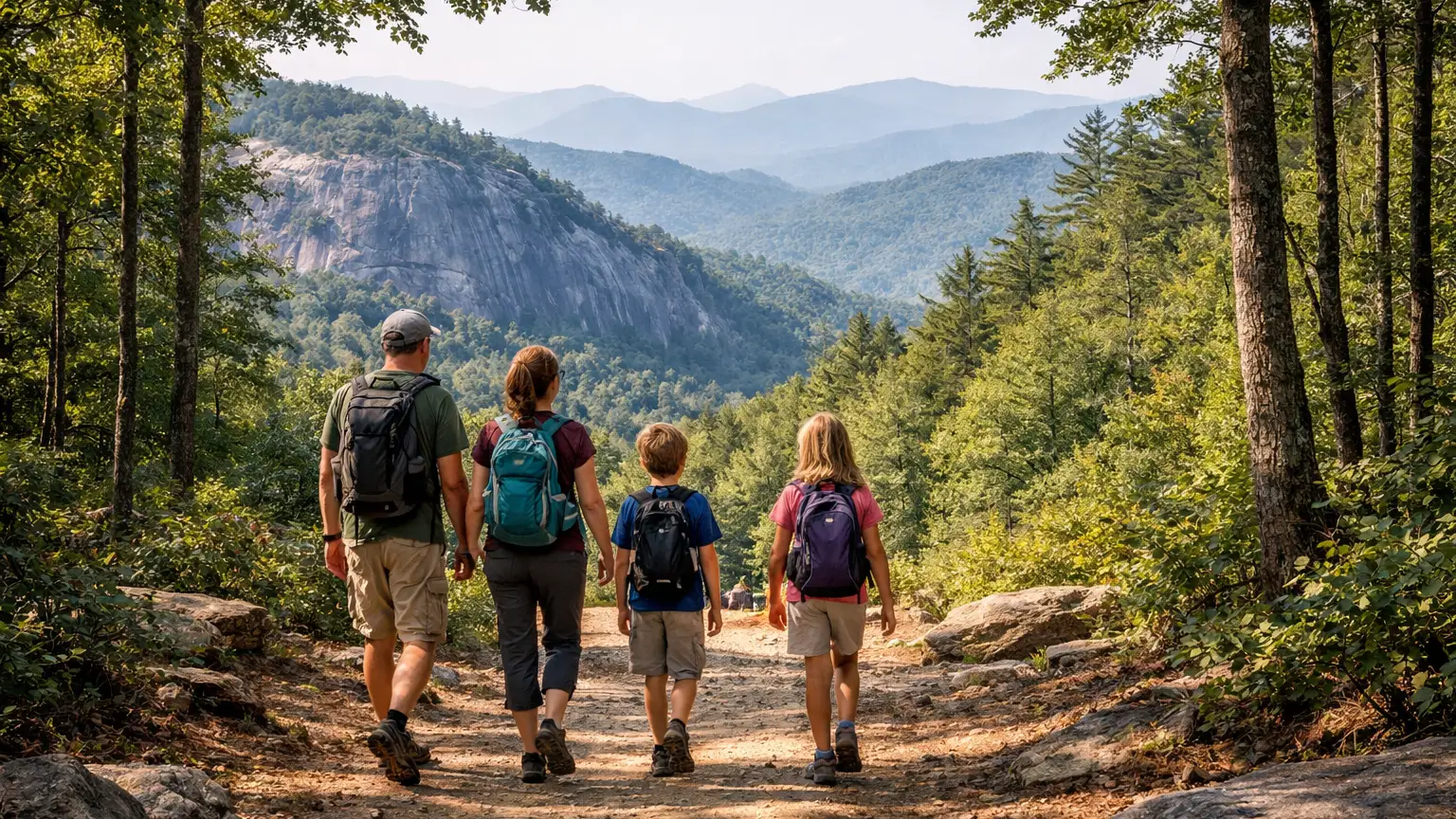
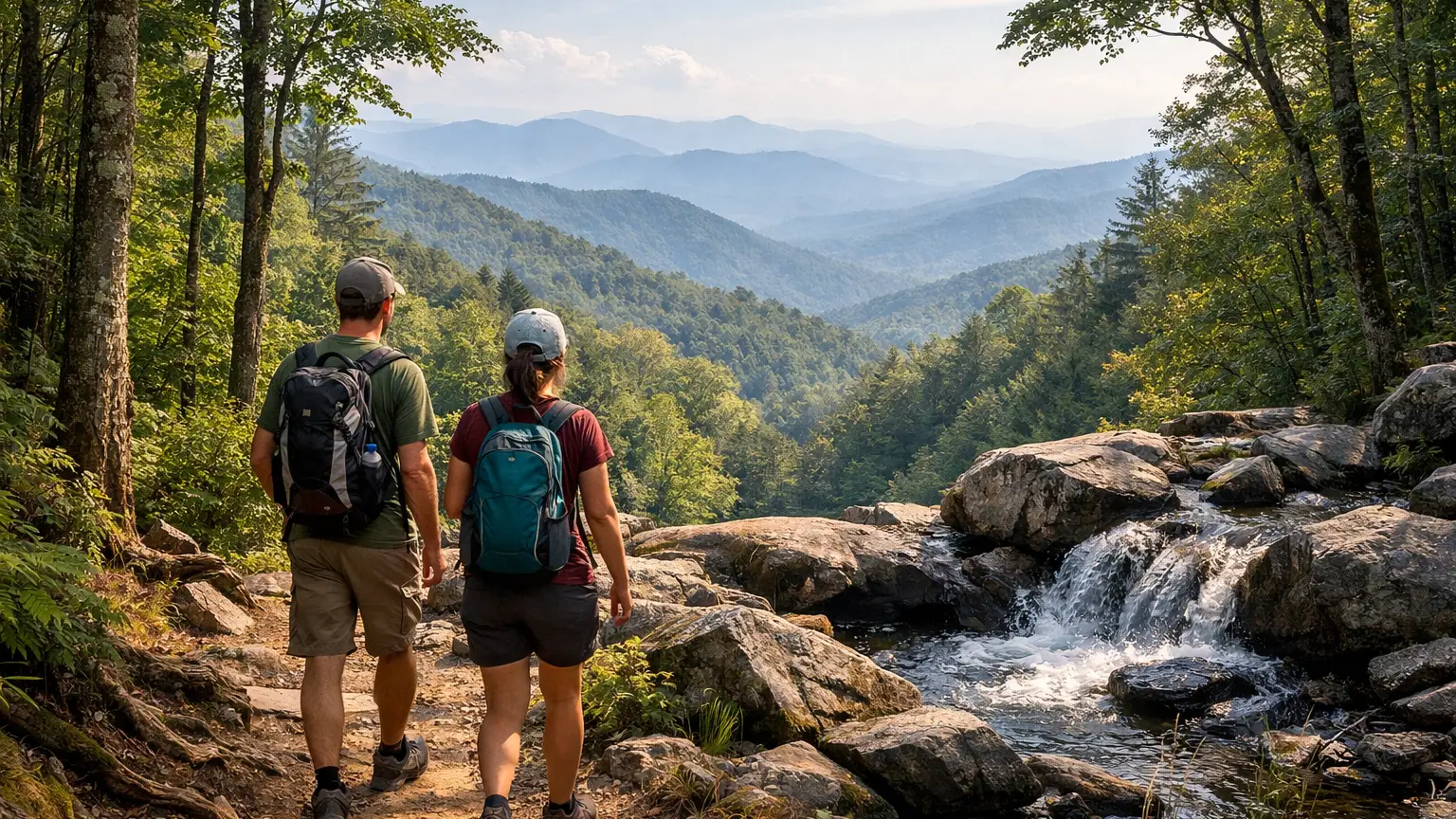
Spring near Asheville is the most time-sensitive hiking season of the year. The trillium window is three weeks. The Catawba rhododendron bloom at Craggy Gardens is two weeks — and shifts up to two weeks earlier or later depending on the year. The peak waterfall flow from snowmelt runs through April and is gone by June. And from mid-March through early May, certain high-use trails in Pisgah are mud pits that chew up the tread and your boots in equal measure. WNC Trails tracks bloom windows by species and elevation, peak waterfall flow status, mud-season trail condition ratings, and bear reactivation alerts so you hit the right trail at the right two-week window — not the week before or the week after. Here are 8 verified spring hikes near Asheville with the timing information that makes spring actually work.
How WNC Trails Tracks Spring Conditions and Bloom Windows
Spring hiking near Asheville requires current-season information that no static trail listing can provide. WNC Trails monitors five spring-specific variables and updates them in real time through the March–June window.
Recommended Tools
Disclosure: This page may contain affiliate links.
- Hiking Shoes ” Check current pricing
- Daypack ” Check current pricing
- Trekking Poles ” Check current pricing
The WNC Trails Spring Condition Tracking Framework
- Bloom Stage by Species and Elevation: We track wildflower and flowering shrub bloom status — pre-bloom, early bloom, peak bloom, and post-bloom — for the primary spring species at each elevation band. Because bloom timing shifts 7–14 days year to year based on winter temperature and March rainfall, we report current-season status rather than calendar averages. A rhododendron bloom forecast based on “historically peaks in late May” can send you to Craggy Gardens two weeks too early in a cold spring.
- Waterfall Flow Level: Spring waterfall volume is driven by snowmelt above 4,000 ft and spring rainfall landing on still-frozen soil. We track flow levels at major waterfall destinations — at peak (snowmelt + rain), above normal, normal, and below normal — so you can time a waterfall hike to the highest-volume window rather than arriving in late April after a dry March that depleted the snowpack early.
- Mud Season Trail Rating: We assign a seasonal mud rating (Low / Moderate / High / Avoid) to trails based on current conditions. High-use singletrack in Pisgah NF with clay soil and north-facing aspects can become severely churned and trail-widening-dangerous in wet spring conditions — hiking them in mud worsens trail conditions for everyone and causes lasting damage. We flag these trails and suggest lower-impact alternatives during peak mud season.
- Stream Crossing Depth: Spring snowmelt raises creek levels significantly — crossings that were knee-deep in August can be waist-deep or uncrossable in April. We document which trails have crossings that become hazardous in high-water conditions and note when seasonal bridge installations open (some USFS seasonal bridges are installed in late spring).
- Bear Reactivation Status: Black bears emerge from dens in WNC typically from mid-February through late March, depending on elevation and individual bear. Early spring — when natural food sources are still scarce — is when bear-human encounters are most frequent on trail. We flag bear activity reports by zone as they come in from scouts and contributors.
8 Spring Hikes Near Asheville NC — Bloom Type, Elevation, and Optimal Window
These trails are organized by bloom type and elevation — from early-season cove forest ephemerals (March–April) through the high-elevation rhododendron and azalea displays (late May–June).
1. Rich Mountain Loop — Cove Forest Spring Ephemerals
Distance: 9.3 miles RT (loop) | Elevation: 2,600–3,643 ft | Bloom Type: Spring ephemerals — trillium, trout lily, bloodroot, wild geranium | Peak Window: Late March–mid-April | Mud Rating: Moderate (upper sections) | Crowd Index: Low
Rich Mountain Loop near Waynesville (Cold Mountain trailhead area) passes through one of the best-protected cove hardwood forest stands in WNC — mature tulip poplar, basswood, and sugar maple in coves that shelter the richest spring ephemeral displays in the mountains. Trillium (large-flowered, nodding, and painted species), trout lily, bloodroot, spring beauty, and wild geranium carpet the cove floors in peak bloom. This is the spring ephemeral destination for hikers who want maximum wildflower density rather than a single iconic species.
Timing specifics: Cove forest ephemerals at 2,600–3,200 ft peak roughly late March through April 15 in a typical year. Bloodroot and spring beauty come first (late March); trillium peaks mid-April; wild geranium and phlox extend into early May. The bloom window for any single species is 2–3 weeks — arrive at the right week or wait until next year.
Mud note: Upper loop sections above 3,200 ft hold mud through April on north-facing slopes. The cove floor sections (where the best blooms are) drain well and are generally passable. Check current mud rating on WNC Trails before the upper loop portion.
2. Trillium Gap Trail — Trillium Capital of WNC
Distance: 3.0 miles RT (to first meadow) | Elevation: 2,800–3,600 ft | Bloom Type: Large-flowered trillium — density exceptional | Peak Window: April 5–25 (typical year) | Mud Rating: Low–Moderate | Crowd Index: Low–Moderate
The Trillium Gap Trail in the Smokies corridor accesses some of the densest large-flowered trillium stands in the Southern Appalachians — the trail passes through protected cove forest at the right elevation band to catch the full trillium bloom in mid-April. Large-flowered trillium (Trillium grandiflorum) grows in colonies here that cover the forest floor from trail edge to canopy drip line for hundreds of continuous yards. The effect at peak bloom — a white-carpeted forest floor under a just-leafing canopy — is specific to a 2–3 week window that shifts each year.
Timing specifics: Trillium at this elevation typically peaks April 10–20 in an average year. Cold springs push the bloom 1–2 weeks later; warm winters pull it earlier. Check WNC Trails bloom status before planning a trillium hike — arriving April 25 in a warm year means you find the white flowers already going green.
WNC Trails note: We track trillium bloom stage (pre-bloom / early / peak / post) for this trail specifically during April. Check the conditions tab in the first two weeks of April for current status.
3. Graveyard Fields — Peak Waterfall Flow and Meadow Green-Up
Distance: 3.2 miles RT | Elevation: 5,100–5,500 ft | Bloom Type: Valley wildflowers + peak waterfall volume | Peak Window: Late April–May (meadow); February–April (waterfall peak) | Mud Rating: High (valley floor, April–early May) | Crowd Index: Moderate (spring crowds lower than fall)
Graveyard Fields in spring offers two distinct seasonal events that don’t overlap exactly. First: the waterfall peak — Yellowstone Prong Upper and Lower Falls run at maximum volume from snowmelt and spring rain through February–April, with flow levels 3–5x higher than summer baseline. Second: the valley wildflower meadow bloom, which opens late April through May with a profusion of low-growing species specific to the high-elevation bog and meadow environment at 5,100 ft. The valley floor is soft and boggy in early spring — stay on designated trail to avoid both trail damage and wet feet.
Timing specifics: For maximum waterfall volume, visit February–March. For meadow wildflowers, visit late April–May. Late May combines acceptable waterfall flow with peak meadow bloom — the optimal single-visit window if you can only go once.
Mud note: The valley floor trail around the lower loop is a documented mud-season problem trail — clay soil and heavy use churn it significantly April through early May. Use the upper trail to Lower Falls and avoid the valley loop entirely during peak mud conditions. WNC Trails flags this trail when conditions are poor.
4. Looking Glass Rock Trail — Cove Wildflowers on the Approach
Distance: 6.4 miles RT | Elevation: 2,100–3,969 ft | Bloom Type: Cove forest ephemerals (lower) + summit bald views | Peak Window: Mid-April (cove bloom); May (summit views) | Mud Rating: Moderate (mid-section switchbacks) | Crowd Index: Moderate
The Looking Glass Rock Trail climbs from Pisgah’s Davidson River corridor through protected cove forest before ascending to the exposed granite dome summit — making it a spring hike with two distinct layers. The lower cove approach (miles 0–2) passes through wildflower-rich hardwood forest in peak bloom mid-April. The granite dome summit (3,969 ft) provides panoramic views that are clear and unobstructed in spring before summer haze builds. The combination of woodland wildflowers on the ascent and long-distance views from the summit makes this one of the most complete spring hike experiences in WNC.
Timing specifics: Cove floor wildflowers peak mid-April at the lower elevations. The upper exposed slope and summit are best in May when the rock is dry and the air clarity is at the spring-to-summer transition window. Avoid wet-rock summit conditions — the granite is extremely slippery when wet.
Mud note: The mid-trail switchbacks (miles 2–3) on north-facing slopes hold mud through April. This is a high-use trail — hiking in mud here causes lasting damage. Check WNC Trails mud rating before visiting March–April.
5. Bearwallow Mountain — Pastoral Spring Green-Up
Distance: 4.2 miles RT | Elevation: 2,200–3,900 ft | Bloom Type: Summit meadow wildflowers + pastoral valley spring green | Peak Window: Late April–late May | Mud Rating: Low–Moderate | Crowd Index: Low
Bearwallow Mountain’s spring transformation is one of the more complete seasonal changes accessible from Asheville — the summit meadow fills with wild blue indigo, fire pink, cinquefoil, and meadow phlox through May, while the Cane Creek agricultural valley below experiences the full pastoral spring green-up simultaneously. The combination of wildflower meadow above and patchwork farmland going green below is a visual pairing unique to Bearwallow’s position between mountain and valley. A quieter alternative to the more-trafficked wildflower destinations in Pisgah.
Timing specifics: Summit meadow wildflowers begin opening late April; peak bloom runs through May into early June for the later species. The pastoral valley below is at its most vivid green from mid-April through May before summer heat mutes the color. The approach forest shows spring ephemeral activity in mid-April.
6. Max Patch — Spring Bald Green-Up and Early Wildflowers
Distance: 1.4 miles RT | Elevation: 4,237–4,629 ft | Bloom Type: Bald wildflowers + spring green-up | Peak Window: May–early June | Mud Rating: Low (well-maintained tread) | Crowd Index: Moderate (lower than fall)
Max Patch in spring is the crowd-free version of the October experience — similar views, similar open bald, dramatically fewer visitors. The spring green-up on the bald runs through May, when the surrounding forest transitions from bare branch to full leaf while the open meadow fills with early wildflowers including wild strawberry, wood sorrel, and scattered phlox. The panoramic views are clear in spring with lower humidity than summer. The USFS timed parking reservation system may or may not be active in spring — verify current policy, but spring visits are generally far less restricted than fall peak weekends.
Timing specifics: Spring green-up on the bald is most vivid mid-May, when the surrounding forested ridges are fully leafed out in fresh green and the open meadow is transitioning. Early May visits catch the bald still partly brown from winter with the surrounding forests showing leaf emergence — a distinctive two-tone landscape specific to the bald’s treeless character.
7. Craggy Gardens — Catawba Rhododendron Bloom
Distance: 1.4 miles RT (upper garden loop) | Elevation: 5,500–5,892 ft | Bloom Type: Catawba rhododendron — heath bald | Peak Window: Late May–late June (elevation-dependent, shifts 1–2 weeks annually) | Mud Rating: Low (paved and stone trail) | Crowd Index: High (peak bloom)
Craggy Gardens is the premier Catawba rhododendron destination near Asheville — a heath bald at 5,500–5,892 ft where the entire landscape turns deep pink-purple for 2–3 weeks each year as the rhododendron blooms. The bloom is one of the most photographed events in WNC hiking, and for good reason: the scale of the heath bald, the color density, and the mountain backdrop produce a landscape that doesn’t look like any other season. The Blue Ridge Parkway access (milepost 364.6) is a prerequisite — verify BRP open status before planning a Craggy Gardens visit.
Timing specifics: At 5,500+ ft, Craggy Gardens blooms later than lower-elevation rhododendron — typically late May through mid-June in average years, with significant year-to-year variation. WNC Trails updates bloom status (pre / early / peak / post) specifically for Craggy Gardens during the bloom window. Do not plan a rhododendron hike without checking current bloom stage — post-bloom Craggy Gardens is a pleasant trail with no special distinction.
Crowd note: Peak Craggy Gardens bloom weekends rival fall foliage for crowd intensity. Weekday visits during peak bloom are significantly less congested. Arrive by 8 AM on weekends or accept a roadside shoulder park and longer approach.
8. Roan Mountain / Carvers Gap — Flame Azalea and Rhododendron Gardens
Distance: 2.0 miles RT (Roan High Knob area) to 9.0 miles RT (full bald traverse) | Elevation: 5,512–6,285 ft | Bloom Type: Flame azalea (orange-yellow) + Catawba rhododendron (pink-purple) | Peak Window: Mid-June (flame azalea); early-mid June (rhododendron) | Mud Rating: Moderate (AT sections) | Crowd Index: High (bloom peak)
Roan Mountain / Carvers Gap on the NC-TN border hosts the largest natural rhododendron garden in the world — the Rhododendron Gardens managed by Cherokee National Forest — and the best accessible flame azalea bloom in the Southern Appalachians. The combination of pink-purple Catawba rhododendron and orange-yellow flame azalea blooming simultaneously across the open balds in June is the single most spectacular wildflower event accessible from Asheville. The Appalachian Trail traverses the bald system here; the full traverse from Carvers Gap over Round Bald, Jane Bald, and Grassy Ridge is the definitive bloom-season route (~9 miles RT with the full ridge).
Distance from Asheville: Approximately 90 minutes. Worth the drive for the bloom peak.
Timing specifics: Flame azalea at Roan typically peaks mid-June; Catawba rhododendron peaks slightly earlier, early–mid June. Both species can overlap for a 7–10 day combined window. WNC Trails tracks Roan bloom status in the conditions tab during June — the most time-sensitive bloom event in our coverage area.
Access: Carvers Gap is accessed via TN-143/NC-261 from both the Tennessee and North Carolina sides — not Blue Ridge Parkway dependent. Road is state-maintained and open year-round. Parking fills rapidly on peak bloom weekends; arrive before 8 AM or plan a weekday visit.
Spring Hike Quick Reference
| Trail | Primary Bloom Type | Peak Window | Elevation | Mud Rating | Crowd Index |
|---|---|---|---|---|---|
| Rich Mountain Loop | Cove ephemerals (trillium, bloodroot) | Late March–mid-April | 2,600–3,643 ft | Moderate | Low |
| Trillium Gap Trail | Large-flowered trillium | April 5–25 | 2,800–3,600 ft | Low–Moderate | Low–Moderate |
| Graveyard Fields | Valley wildflowers + waterfall peak | Feb–Apr (falls); late Apr–May (meadow) | 5,100–5,500 ft | High (valley floor) | Moderate |
| Looking Glass Rock | Cove ephemerals (lower approach) | Mid-April (cove); May (summit) | 2,100–3,969 ft | Moderate | Moderate |
| Bearwallow Mountain | Meadow wildflowers + pastoral green | Late April–May | 2,200–3,900 ft | Low–Moderate | Low |
| Max Patch | Bald green-up + early wildflowers | May–early June | 4,237–4,629 ft | Low | Moderate |
| Craggy Gardens | Catawba rhododendron (pink-purple) | Late May–late June | 5,500–5,892 ft | Low | High |
| Roan Mountain / Carvers Gap | Flame azalea + Catawba rhododendron | Early–mid June | 5,512–6,285 ft | Moderate | High |
The WNC Spring Bloom Calendar: What’s Flowering, When, and at Which Elevation
Spring in Western NC doesn’t arrive uniformly — it climbs the mountains. Each 1,000-foot increase in elevation delays the bloom window by approximately 7–10 days, meaning you can follow spring upward through the season, from valley wildflowers in March to high-bald rhododendron in June, all within 90 minutes of Asheville.
Spring Bloom Sequence by Elevation and Month
| Month | Elevation Band | Primary Species | Representative Trail | Typical Duration |
|---|---|---|---|---|
| Early March | Below 2,500 ft | Hepatica, winter aconite, bloodroot (first flush) | French Broad Greenway, lower valley trails | 1–2 weeks |
| Late March | 2,000–3,000 ft | Bloodroot, spring beauty, hepatica, trailing arbutus | Lower Pisgah cove trails, Davidson River corridor | 2–3 weeks |
| Early–mid April | 2,500–3,500 ft | Large-flowered trillium, trout lily, wild geranium, Dutchman’s breeches | Rich Mountain Loop, Trillium Gap Trail | 2–3 weeks |
| Late April–early May | 3,000–4,500 ft | Wild blue phlox, fire pink, wild iris, wood sorrel, painted trillium | Looking Glass Rock (upper), Bearwallow, Graveyard Fields meadow | 3–4 weeks |
| May | 3,500–5,000 ft | Mountain laurel, wild azalea, bald wildflowers (meadow species) | Max Patch, Black Balsam area, Bearwallow summit | 3–4 weeks |
| Late May–mid June | 4,500–6,000 ft | Catawba rhododendron (pink-purple), flame azalea (orange), sand myrtle | Craggy Gardens, Roan Mountain, Gregory Bald | 2–3 weeks |
| Mid–late June | 5,000–6,500 ft | Flame azalea peak (Roan), mountain bluet, Turk’s-cap lily (begins) | Roan Mountain / Carvers Gap, high AT balds | 2 weeks |
Year-to-Year Bloom Variability
The calendar above is a typical-year reference. Bloom timing shifts significantly based on the previous winter’s temperature and spring rainfall. Key variables:
- Warm winter + early spring warmth: Bloom runs 1–2 weeks early at all elevations. Craggy rhododendron may peak before Memorial Day rather than mid-June.
- Cold winter + late spring cold snaps: Bloom runs 1–2 weeks late. Trillium may not peak until late April; rhododendron may extend into early July at highest elevations.
- Late freeze after warm start: The most damaging scenario — early blooms can be killed by a late frost. Bloodroot and trillium are particularly vulnerable. Check WNC Trails for post-freeze bloom status in years with late cold snaps after warm March starts.
This is exactly why WNC Trails tracks current-season bloom stage rather than relying on calendar averages. Check the conditions tab before any wildflower-specific hike — it’s updated as scouts visit and report bloom status in the field.
Spring Trail Conditions: Mud Season, Stream Crossings, and Bear Reactivation
Spring is the only season in WNC where trail conditions can make a hike actively worse — not just harder, but damaging to the trail itself and to your experience. Understanding the three primary spring condition variables prevents bad decisions.
Mud Season: When Hiking Does More Harm Than Good
From mid-March through early May, trails with clay or loam soil at 2,500–4,500 ft become saturated from snowmelt and spring rain. High-use singletrack — particularly in Pisgah NF near the Brevard corridor — develops deep mud ruts as hikers step off the trail to avoid standing water, widening the trail footprint and causing long-term tread damage.
The WNC Trails mud rating system:
- Low: Surface conditions normal. No significant mud hazard.
- Moderate: Scattered muddy sections. Waterproof footwear recommended. Stay on trail to minimize impact.
- High: Significant mud throughout. Consider postponing or using a lower-impact alternative. Hiking this trail currently contributes to trail damage.
- Avoid: Trail is severely degraded by mud conditions. Scout-verified — we actively recommend choosing an alternative trail until conditions improve.
Trails most likely to hit “High” or “Avoid” in spring: High-use Pisgah singletrack (Art Loeb Trail lower sections, Black Mountain Cove Trail mid-section), popular connector trails with clay soil and north-facing aspects. Lower-elevation river trails and paved/gravel surface trails are unaffected by mud season.
The stay-on-trail rule matters more in spring than any other season. Every footstep off-trail in muddy conditions widens the trail corridor. WNC’s volunteer trail maintenance community spends significant effort every spring repairing tread widened during mud season. Check the conditions tab and respect the mud ratings.
Stream Crossings in Spring High Water
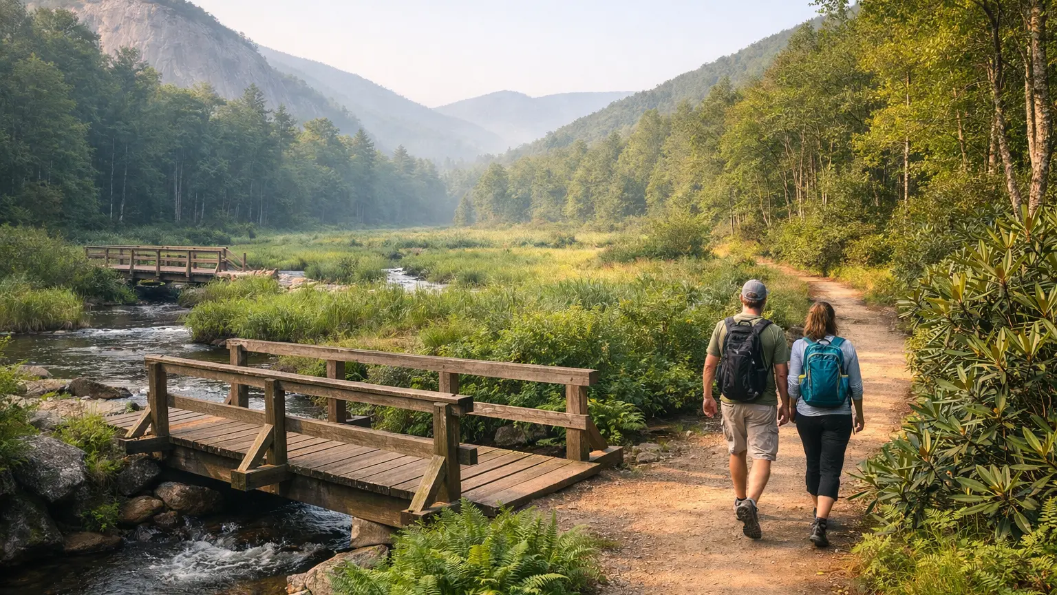
Spring snowmelt and sustained rainfall raise creek and river levels across WNC from late February through April. Crossings that are hop-across-rocks in summer become knee-deep to waist-deep wades in early spring — and cold-water wading in 38°F snowmelt is a hypothermia risk, not just an inconvenience.
WNC Trails documents crossing conditions by trail — specifically, which trails have crossings that become hazardous at high-water levels and which have seasonal bridges installed by USFS at specific times. Key rules for spring crossings:
- If the water is moving fast and above mid-shin on an adult, do not cross. Turn back.
- Check WNC Trails conditions tab for crossing-specific notes after any significant rainfall or warm spell that drives snowmelt
- Some USFS trails have seasonal footbridges installed in late April / early May — if the bridge isn’t there yet, the crossing may not be safe
- Do not use trekking poles as the sole balance tool for moving water crossings above knee depth — they are not sufficient
Bear Reactivation: Spring Encounter Frequency Peaks
Black bears in WNC emerge from dens from mid-February (lower elevations, warmer years) through late March (high-elevation dens, cold years). In early spring — March through May — natural food sources are scarce. This is when bears are most actively foraging, most likely to be on trail, and most likely to investigate human-associated food smells.
Spring bear encounter protocols are the same as any season — make noise on the trail, never approach a bear, give bears space and the right-of-way — but the frequency of encounters is highest in spring. WNC Trails flags active bear areas in the conditions tab as reports come in from scouts and contributors. Dog owners: bears with cubs (April–June) are more defensive than at other times — keep dogs leashed and close.
Spring Hiking Gear for Western NC: What Changes from Winter and Fall
Spring in WNC requires a specific gear transition — lighter than winter, but with mud, variable temperatures, and rain preparedness that fall hiking doesn’t demand in the same way.
- Waterproof hiking boots or trail runners: Spring mud and stream crossings make waterproof footwear worth it in a way that dry-season hiking doesn’t require. Gaiters over trail runners are a practical alternative to heavy boots for keeping debris and water out in muddy conditions.
- Waterproof rain shell: Spring weather in the WNC mountains changes faster than any other season after winter. An afternoon warm-up on the valley floor can accompany a 40°F rain at 4,000 ft. A packable rain shell weighs almost nothing and is genuinely necessary March–May.
- Layering for 40°F range: Spring morning starts can be in the mid-30s at trailheads above 3,000 ft while afternoon summit temps reach 60°F. Dress in removable layers — a thin insulating layer and a shell that you can stuff into the pack when no longer needed.
- Trekking poles: More useful in spring than any other season — muddy descents, high-water crossing support, and spring-soft root-embedded trail surfaces all benefit from the additional stability.
- Tick check protocol: Tick activity begins in earnest from late March in WNC. Black-legged ticks (deer ticks, potential Lyme vector) and American dog ticks are both active from early spring through fall. Do a full-body tick check after every spring hike — especially lower-body, behind knees, and hairline. Treat hiking clothing with permethrin before spring season begins.
- Bear spray (optional but recommended): Practical for spring hiking when encounter frequency is highest, especially on less-traveled trails. Know how to use it before you need to.
Key Considerations
Planning a spring hike near Asheville involves a few important factors:
- Weather: Spring weather can be unpredictable. Mornings may be chilly, with afternoon showers common. Dress in layers and pack a rain jacket.
- Trail Conditions: Snowmelt and spring rains can make trails muddy or slippery, especially near streams and waterfalls. Waterproof footwear and trekking poles are helpful for stability.
- Flora and Fauna: Spring is prime time for wildflower blooms, but also for emerging wildlife and insects. Tread carefully to avoid disturbing plants, and consider insect repellent for ticks and gnats.
- Crowds: Popular trails see increased traffic in spring, especially on weekends. Arrive early or explore less-traveled paths to enjoy a quieter experience.
- Trail Closures: Some high-elevation parkway sections or remote trails may remain closed into late spring due to lingering ice or maintenance. Check park or forest websites before heading out.
By preparing for these variables, hikers can maximize safety and enjoyment on Ashevilles spring trails.
Common Use Cases
Spring hikes near Asheville NC cater to a wide range of interests and abilities. Here are some typical ways people enjoy these trails:
- Wildflower Viewing: Many hikers plan outings specifically to catch peak blooms of trillium, violets, and rhododendron. Graveyard Fields and Craggy Gardens are top choices for spring flora.
- Waterfall Exploration: With increased water flow, spring is ideal for visiting waterfalls. Trails in Pisgah National Forest and DuPont State Forest offer multiple falls within short distances.
- Family-Friendly Hikes: Easy-to-moderate loops like those at Bent Creek or the North Carolina Arboretum are perfect for families with children or those seeking a gentle walk.
- Photography: Early morning and late afternoon light, combined with fresh greenery and blooms, create excellent conditions for landscape and macro photography.
- Fitness and Training: Many locals use spring trails to train for summer hiking or trail running events. Ascents like Mount Pisgah or Lookout Mountain offer good elevation gains.
Choosing the right trail depends on your goals, group size, and time available. Ashevilles trail network ensures theres an option for nearly every preference.
Find Your Spring Hike Near Asheville
WNC Trails updates bloom stage, mud ratings, stream crossing depths, and bear activity reports throughout the spring season — specific to individual trails and elevation bands, not just “conditions are variable.” Check before you leave for any wildflower hike, waterfall hike, or trail with documented spring mud issues
Frequently Asked Questions
- When is the best time in spring for hiking near Asheville?
Late March through early June typically offers the best combination of mild weather, wildflowers, and open trails. Rhododendron and mountain laurel blooms peak in late May to early June at higher elevations. - Are permits or fees required for local trails?
Most trails near Asheville do not require permits, but some areas (like certain state parks or popular waterfall sites) may have parking fees. Always check the official trailhead or park website for details before visiting. - What should I bring for a spring day hike?
Essentials include layered clothing, waterproof shoes, a rain jacket, water, snacks, insect repellent, a map or GPS, and a camera for capturing spring scenery. Trekking poles are helpful on muddy or rocky sections. - Are dogs allowed on spring hikes near Asheville?
Many trails are dog-friendly, but leash requirements vary by location. Always pack out pet waste and confirm specific rules for your chosen trail. - How do I avoid crowded trails in spring?
Visit on weekdays, arrive at trailheads before 9 a.m., or explore less-known routes. Trails farther from the Blue Ridge Parkway or with longer distances typically see fewer visitors.
For more detailed trail guides, seasonal tips, and up-to-date conditions, explore additional resources on WNC Trails or check with local ranger districts before your next spring hike near Asheville NC.
Continue Exploring These Trails
- Summer Hikes Near Asheville Nc
- Fall Foliage Hikes Near Asheville Nc
- Blue Ridge Parkway Hikes
- Pisgah National Forest Hikes