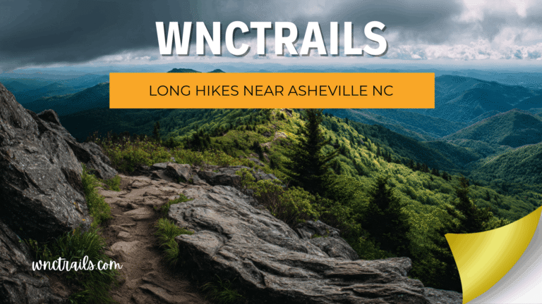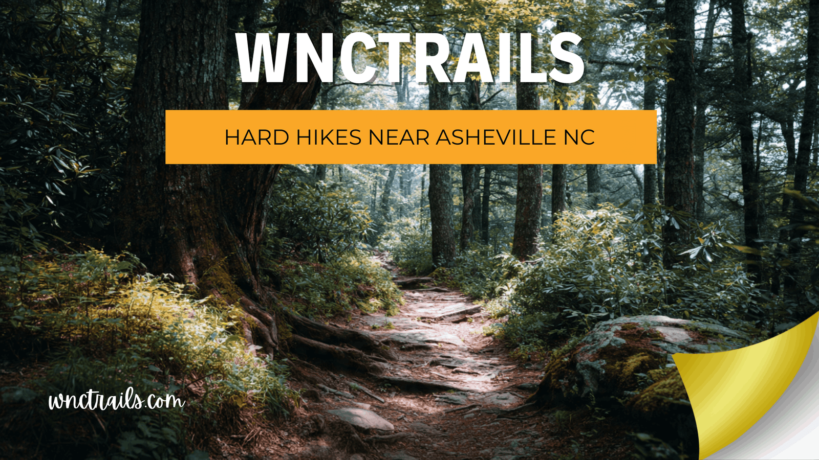
Hard Hikes Near Asheville NC: Strenuous Routes That Earn Their Rating
You’re not looking for a walk in the park — you want a hike that pushes your limits, earns your summit, and leaves you with stories worth telling. But finding genuinely hard hikes near Asheville NC that are accurately rated is its own challenge. On most platforms, strenuous trails get buried under inflated ratings from users who want the bragging rights without the honesty. At WNC Trails, we verify every strenuous route on the ground: real gradient data, technical hazard documentation, current access conditions, and zero hype. If we call it hard, it earned that rating — and we’ll tell you exactly why so you can decide if you’re ready.
What “Hard” Means on WNC Trails: Our Strenuous-Grade Standard
Recommended Tools
Disclosure: This page may contain affiliate links.
- Hiking Shoes ” Check current pricing
- Daypack ” Check current pricing
- Trekking Poles ” Check current pricing
Western North Carolina’s strenuous trails are genuinely demanding. The Southern Appalachians pack serious vertical gain into relatively short distances, and conditions like exposed rock, route-finding, and swift stream crossings can turn a physical challenge into a technical one with little warning. Our hard rating isn’t handed out loosely.
The WNC Trails Strenuous-Grade Criteria
A trail receives a hard / strenuous rating when it meets one or more of the following, verified in person:
- 🔺 Elevation gain exceeding 700 ft per mile — sustained, relentless climbing for significant stretches
- 🪨 Technical scrambling or exposed sections — hands-on rock moves, exposed ridgelines, or cliff-edge paths
- 🗺️ Route-finding required — limited or absent blazing, cairn navigation, wilderness off-trail sections
- 🌊 Significant water crossings — thigh-deep fords, no bridge, dangerous in high-water season
- ⏱️ Duration demanding early start — 6+ hours typical pace; afternoon lightning exposure unavoidable unless you’re moving by 6 a.m.
For each strenuous trail, WNC Trails also documents which specific criteria triggered the rating — so you know whether it’s a fitness challenge, a technical challenge, or both.
7 Best Hard Hikes Near Asheville NC (Locally Verified)
These seven routes represent the most rewarding — and most demanding — hard hikes within range of Asheville. Each has been walked, timed, and documented by WNC Trails local scouts, with technical hazards and seasonal conditions clearly noted.
1. Shining Rock via Old Butt Knob Trail — Shining Rock Wilderness (9.0 mi RT | Hard | Wilderness Navigation)
The most raw and rewarding strenuous hike in the Pisgah District. The Old Butt Knob ridge route to the brilliant white quartzite summit of Shining Rock (5,940 ft) involves over 2,400 ft of cumulative gain, multiple false summits, and limited blazing inside the wilderness boundary. WNC Trails technical note: Route-finding skills required past Shining Creek junction — download our offline map before leaving cell range. Crowd note: Far less visited than the Black Balsam approach to Shining Rock; a true wilderness experience 90 minutes from Asheville.
2. Linville Gorge: Babel Tower to Hawksbill (7.0 mi RT | Hard | Exposed Scrambling)
Linville Gorge is the deepest gorge in the eastern United States — and its trail network does not apologize for it. The descent to the Linville River and the scramble up Hawksbill Mountain involves steep, root-choked switchbacks, exposed rock faces requiring hands-and-feet moves, and a river crossing that becomes dangerous in spring runoff. Permit required: Linville Gorge Wilderness requires a free permit on weekends May–October — WNC Trails links directly to the current permit portal. Emergency access: Limited — this is a true backcountry environment; carry a PLB or satellite communicator.
3. Art Loeb Trail — Deep Gap to Cold Mountain Summit (10.0 mi RT | Hard | Iconic Peak)
Cold Mountain (5,928 ft) — made famous by Charles Frazier’s novel — is earned on one of WNC’s most demanding full-day routes. The Art Loeb Trail from Deep Gap involves nearly 3,000 ft of total gain across relentless ridge climbs with minimal flat recovery sections. The summit is a wide grassy bald with 360-degree views — but only for those who show up prepared. WNC Trails note: Start no later than 7 a.m. to avoid afternoon thunderstorm exposure on the open summit ridge. Trail conditions: Muddy and slick after rain — our local scouts update surface conditions within 48 hrs of precipitation events.
4. Mount Mitchell via Commissary Trail — Mount Mitchell State Park (10.4 mi RT | Hard | Highest Peak East of the Mississippi)
Standing at 6,684 ft, Mount Mitchell is the highest point east of the Mississippi — and the Commissary Trail approach from Black Mountain Campground is the serious hiker’s route, gaining 3,600 ft over 5.2 miles of unrelenting switchbacks through northern hardwood and spruce-fir forest. Why this route vs. the paved road: The summit drive draws tourists; the Commissary Trail draws hikers who want to earn the elevation. Seasonal alert: Above 5,500 ft, snow is possible October through May and ice lingers well into spring — WNC Trails flags crampons-recommended conditions in real time.
5. Lovers Leap to Rich Mountain Loop — Hot Springs (12.0 mi | Hard | Full-Day Ridgeline)
The extended version of the Hot Springs ridgeline system — a full-day traverse linking the French Broad River valley to the high Rich Mountain ridgeline and back. Cumulative elevation gain exceeds 3,200 ft across a route that alternates between open ridge and dense rhododendron tunnels. WNC Trails advantage: This loop is poorly documented elsewhere — our local team mapped the full route with junction markers and flagged two sections where the trail becomes faint and requires careful attention to blazes.
6. Horsepasture River Trail to Windy Falls — Gorges State Park (6.0 mi RT | Hard | Remote Waterfall)
Four significant waterfalls — Turtleback, Drift, Rainbow, and Windy Falls — on a trail that descends aggressively into one of the most dramatic river gorges in the Southeast. The return trip climbs back out of the gorge on steep, eroded slopes that demand strong knees and trekking poles. WNC Trails note: Windy Falls is one of the most spectacular and least-visited waterfalls in WNC — virtually absent from major trail apps. Our scout verified access in summer 2025. Swimming: Turtleback Falls has a natural waterslide; dangerous in high water — current flow level updated on the WNC Trails conditions tab.
7. Black Mountain Crest Trail — Burnsville Area (12.0 mi One-Way | Hard | High Route)
The most committing route in the WNC Trails hard category — a one-way ridge traverse of the Black Mountain Crest, visiting six of the ten highest peaks east of the Mississippi (including Mount Mitchell, Clingman’s Peak, and Big Tom) along an exposed, often wind-blasted ridgeline above 6,000 ft for nearly the entire route. Logistics note: Requires a car shuttle or arranged pickup — WNC Trails documents both shuttle points with GPS and parking details. Rated hard for combined reasons: elevation exposure, duration (8–10 hrs), and limited bail-out options once committed.
Safety First: What Experienced Hikers Still Get Wrong on Hard Trails in WNC
Strenuous trails near Asheville attract confident, capable hikers — and that confidence is sometimes the problem. The Southern Appalachians have specific hazards that catch even experienced hikers off guard when they’re new to the region.
The 4 WNC-Specific Hazards to Prepare For
- ⛈️ Afternoon thunderstorms on exposed balds and summits: From late June through August, convective storms build daily over the high peaks. Many strenuous WNC trails reach open summits or ridgelines between 11 a.m. and 2 p.m. — the prime lightning window. WNC Trails flags lightning-exposed routes and recommends departure times by season.
- 🌫️ Rapid fog and visibility loss above 5,000 ft: Clear mornings can turn to zero-visibility fog in under an hour at elevation. On routes requiring navigation (Shining Rock Wilderness, Black Mountain Crest), this is a genuine safety hazard. Download the WNC Trails offline map before any wilderness outing.
- 🌊 Flash flood risk in gorge trails: Linville Gorge, Horsepasture River, and gorge-bottom trails can experience rapid water rises after upstream rain — even when the sky above you is clear. WNC Trails conditions tab includes upstream precipitation alerts for gorge routes.
- ❄️ Year-round ice above 5,500 ft: Ice lingers on north-facing slopes and sheltered sections of high ridgelines well into April — and can return as early as October. Microspikes are recommended for any strenuous trail above 5,500 ft outside of summer months. WNC Trails posts crampons/microspikes alerts by trail and elevation band.
Hard Hikes Near Asheville by Season: Timing Your Strenuous Adventure
| Season | Conditions | Top Hazard | Best Hard Route Pick |
|---|---|---|---|
| Spring (Mar–May) | Wet, muddy; snow possible above 5,000 ft through April; stream crossings at seasonal high | High water crossings, lingering ice | Cold Mountain (lower sections dry out first) |
| Summer (Jun–Aug) | Ideal trail surfaces; afternoon thunderstorms above 5,000 ft — start before 7 a.m. on summit routes | Lightning on open ridges & balds | Shining Rock (early start), Horsepasture (gorge stays cool) |
| Fall (Sep–Nov) | Peak conditions; stable weather through October; parkway access closes late Oct–Nov | Parkway road closures, crowded trailheads | Black Mountain Crest, Linville Gorge |
| Winter (Dec–Feb) | Ice and snow above 4,000 ft; solitude guaranteed; full crampons & layers required for high routes | Ice, avalanche risk on steep slopes, limited daylight | Mount Mitchell Commissary Trail (with microspikes) |
Always verify current conditions on the WNC Trails conditions tab before heading out on any strenuous route — weather and trail status can change within 24 hours.
Gear Checklist for Strenuous Day Hikes in Western North Carolina
Hard trails in WNC demand more than a water bottle and a pair of sneakers. Here’s what our local team considers non-negotiable for strenuous day hikes in the region — based on the specific conditions documented on each route.
The WNC Strenuous Day-Hike Kit
- 👟 Stiff-soled hiking boots with ankle support — trail runners acceptable only for experienced hikers on dry routes
- 🥢 Trekking poles — non-negotiable for Horsepasture gorge descent and Linville scrambles
- 💧 2+ liters of water plus a filter for longer routes — no reliable sources on most ridge traverses
- 🧊 Microspikes in pack October through May for any route above 5,000 ft
- 🌦️ Rain layer + insulating mid-layer — mountain weather changes in under an hour
- 📱 WNC Trails offline map downloaded before leaving cell range — critical for Shining Rock Wilderness and Black Mountain Crest
- 🆘 Personal Locator Beacon (PLB) or satellite communicator — recommended for wilderness routes with limited rescue access
- ⏰ Early start — summit-route turnaround time built into your plan before 1 p.m.
Key Considerations
Attempting hard hikes near Asheville NC requires more than enthusiasm. Preparation and awareness are essential for both safety and enjoyment. Here are critical factors to keep in mind:
- Physical Fitness: These trails demand strong legs, cardiovascular endurance, and confidence on uneven surfaces. Gradually build up to longer, steeper hikes if you’re new to the area.
- Navigation: Many hard hikes, especially in wilderness areas, have limited signage. A reliable map, GPS track, or navigation app is essential.
- Weather: High-elevation trails can experience rapid weather changes. Always check the forecast, and be prepared for cooler temperatures, high winds, or sudden storms.
- Water & Nutrition: Carry more water than you think you’ll need, as streams can be seasonal. Bring high-energy snacks and a way to purify water if the hike is especially long.
- Leave No Trace: These remote environments are sensitive. Stay on established trails, pack out all trash, and minimize your impact.
- Trail Conditions: Expect roots, rocks, mud, and sometimes overgrown sections. Trekking poles and sturdy footwear are recommended.
Common Use Cases
Hard hikes near Asheville NC attract a range of outdoor enthusiasts. Here are some scenarios where these trails shine:
- Training for Bigger Adventures: Many hikers use the steep terrain and long mileage for conditioning before tackling even larger mountain ranges or multi-day backpacking trips.
- Pushing Personal Limits: Experienced hikers often seek out these routes to test endurance and mental toughness, especially on iconic peaks or technical ridgelines.
- Photography and Nature: The high summits and remote wilderness areas offer stunning sunrise, sunset, and seasonal foliage views, making them favorites for landscape photographers.
- Group Outings: Clubs and experienced groups often organize hard hikes for camaraderie and shared achievement, but it’s important to match the group’s ability to the challenge.
- Solitude: While popular trailheads can be busy, the more strenuous and remote sections often provide true wilderness solitude, especially on weekdays or in less-traveled areas.
Ready to Earn Your Summit in Western North Carolina?
Western North Carolina’s hard trails offer some of the most challenging and rewarding experiences available to hikers east of the Rockies — from the raw wilderness of Shining Rock to the roof of the Appalachians on the Black Mountain Crest. WNC Trails documents every one of these routes with honest difficulty ratings, specific technical hazard notes, real-time conditions, and the kind of logistics detail that turns a bold objective into an achievable one.
The hardest trails in WNC don’t give up their rewards easily — but with the right information, you’ll know exactly what you’re walking into, and you’ll be ready for every step of it.
Frequently Asked Questions
- How do I know if a hike is considered “hard”?
Generally, a hard hike involves over 1,500 feet of elevation gain, rough or technical trails, and/or a distance greater than 8 miles. Difficulty can also depend on personal fitness, weather, and trail conditions. - Are dogs allowed on these hard hikes?
Most trails in Pisgah and Nantahala National Forests allow leashed dogs, but steep terrain or ladders (like those on the Grandfather Mountain Trail) may not be suitable for all pets. Always check specific trail regulations. - What gear is essential for hard hikes near Asheville NC?
Sturdy hiking boots, trekking poles, layered clothing, a map or GPS, rain gear, extra food and water, and a basic first aid kit are recommended. For remote routes, a satellite communicator is a wise precaution. - Is a permit required?
Most hard hikes near Asheville do not require permits for day use, but certain wilderness areas (like Linville Gorge on weekends in peak season) may have restrictions. Always check current regulations before your trip. - When is the best time to attempt these hikes?
Spring and fall are ideal for cooler temperatures and clear views. Summer brings lush greenery but also heat and humidity, while winter hikes require careful preparation for ice and snow at higher elevations.
For those ready to take on the challenge, hard hikes near Asheville NC offer a true test of skill and endurance, along with some of the most spectacular scenery in the Blue Ridge Mountains. Preparation, respect for the mountains, and a sense of adventure are your best companions on these unforgettable trails.
Continue Exploring These Trails
- Short Hikes Near Asheville Nc
- Long Hikes Near Asheville Nc
- Blue Ridge Parkway Hikes
- Pisgah National Forest Hikes
🏔️ Browse every verified strenuous trail near Asheville — filter by elevation gain, technical grade, season, and permit requirements.
👉 See All Hard Hikes on WNC Trails → | 👉 Check Today’s Trail Conditions →