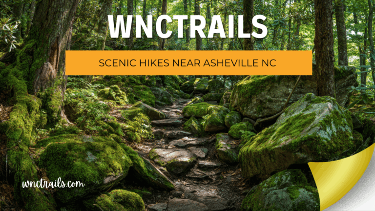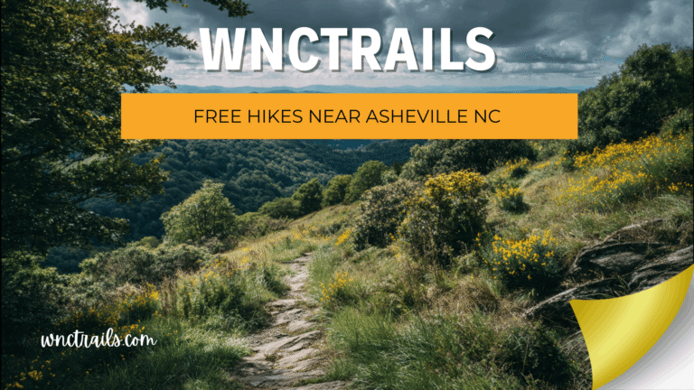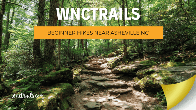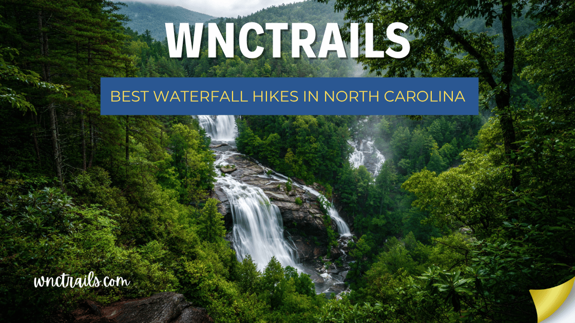
Best Waterfall Hikes In North Carolina
North Carolina is home to more waterfalls than any other state east of the Mississippi River — over 250 named falls tucked into the Blue Ridge Mountains, Pisgah National Forest, and the remote gorges of the southern Appalachians. Whether you’re a casual day-tripper or a seasoned hiker, there’s a cascade here with your name on it.
This guide covers the best waterfall hikes in North Carolina, from easy roadside stops the whole family can enjoy to challenging backcountry trails that reward the effort with jaw-dropping plunges. All distances are round-trip unless noted.
Best Waterfall Hikes in North Carolina (2026 Guide)
Recommended Tools
Disclosure: This page may contain affiliate links.
- Water Shoes — Check current pricing
- Rain Jacket — Check current pricing
- Dry Bag — Check current pricing
Quick Reference: Best Waterfall Hikes at a Glance
| Waterfall | Location | Difficulty | Distance | Drop |
|---|---|---|---|---|
| Looking Glass Falls | Pisgah National Forest | Easy | 0.2 mi | 60 ft |
| Triple Falls | DuPont State Forest | Easy–Moderate | 3.5 mi | 120 ft total |
| Linville Falls | Blue Ridge Parkway | Moderate | 1.6–3.4 mi | 90 ft |
| Graveyard Fields Falls | Blue Ridge Parkway | Easy | 1.0–3.2 mi | 60–60+ ft |
| Crabtree Falls | Blue Ridge Parkway | Moderate | 2.5 mi | 70 ft |
| Catawba Falls | Old Fort | Easy–Moderate | 2.8 mi | 100 ft |
| Mingo Falls | Cherokee | Easy | 0.4 mi | 120 ft |
| Whitewater Falls | Nantahala NF | Easy | 0.2 mi | 411 ft |
| Rainbow Falls | Gorges State Park | Strenuous | 5.4 mi | 150 ft |
| Turtleback Falls | Gorges State Park | Moderate | 0.5 mi | 20 ft |
1. Looking Glass Falls — Pisgah National Forest
Difficulty: Easy | Distance: 0.2 miles | Drop: 60 feet
If you’re looking for the most iconic and accessible waterfall in Western North Carolina, Looking Glass Falls is it. Located right off US-276 in Pisgah National Forest, this wide, powerful cascade thunders 60 feet into a clear pool below — and you can see it from the road.
Steps lead down to the base, where you can stand in the mist and take in one of the most photographed waterfalls in the state. In winter, the surrounding rock face sometimes ices over, creating a magical frozen scene.
Tips:
- Parking is very limited; arrive before 9 AM on weekends
- The short walk down is accessible for most visitors, including older adults
- Part of the popular “Waterfall Loop” along US-276, paired well with Sliding Rock
Coordinates: 35.3025° N, 82.7648° W
2. Triple Falls & High Falls — DuPont State Recreational Forest
Difficulty: Easy–Moderate | Distance: 3.5 miles (loop) | Drop: 120 ft total
DuPont State Recreational Forest near Brevard is a waterfall lover’s paradise, with five major waterfalls concentrated in a relatively small area. The standout loop hike connects Triple Falls, High Falls, and Hooker Falls — three dramatically different cascades on the Little River.
Triple Falls drops in three distinct tiers through a rocky gorge — you may recognize it from The Hunger Games filming location. High Falls is the broadest and most powerful of the trio, sending a massive sheet of water over a granite face. Hooker Falls is wider and more gentle, ideal for splashing around.
Tips:
- Start at the Hooker Falls trailhead for the easiest route
- The flat trail to Hooker Falls is great for kids and dogs
- No swimming at Triple Falls (strong currents), but wading at Hooker is popular
- Free to enter; some parking areas fill by mid-morning on summer weekends
Coordinates (Hooker Falls Trailhead): 35.1906° N, 82.6380° W
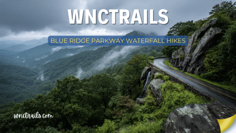
3. Linville Falls — Blue Ridge Parkway (Milepost 316.4)
Difficulty: Moderate | Distance: 1.6–3.4 miles | Drop: 90 feet
One of the most visited waterfalls along the entire Blue Ridge Parkway, Linville Falls rewards hikers with multiple stunning viewpoints above a rugged gorge. The Erwins View Trail (3.4 miles round-trip) is the most scenic option, leading past the upper falls and two overlooks above the lower plunge pool in the Linville Gorge Wilderness.
The contrast between the white water and the dark, ancient rock of the gorge makes this one of the most photogenic spots in all of North Carolina.
Tips:
- Four trails of varying lengths lead to different perspectives — check the NPS map before you go
- The upper falls viewpoint is the most accessible
- Crowded on summer weekends; visit on weekdays or early morning
- Open year-round; icy in winter — traction devices recommended December–February
Coordinates: 35.9544° N, 81.9279° W
4. Graveyard Fields Falls — Blue Ridge Parkway (Milepost 418.8)
Difficulty: Easy–Moderate | Distance: 1.0–3.2 miles | Drop: 60 ft (Lower) / 60+ ft (Upper)
At nearly 5,000 feet elevation on the Blue Ridge Parkway, Graveyard Fields feels like another world — a high meadow tucked into a bowl of mountains, drained by Yellowstone Prong Creek. The basin gets its eerie name from moss-covered stumps that once resembled grave markers after a forest fire.
Two waterfalls reward hikers: Second Falls (Lower) is just 0.5 miles from the parking area — a wide, gentle cascade perfect for wading. The Upper Falls require a steeper 1.6-mile hike but deliver a taller, more dramatic plunge.
Tips:
- One of the busiest spots on the entire Parkway — arrive before 8 AM or after 4 PM
- No dogs allowed on the trails
- The creek swimming area at Second Falls can be packed on hot days
- At this elevation, temperatures can be 10–15°F cooler than Asheville
Coordinates: 35.3272° N, 82.8600° W
5. Crabtree Falls — Blue Ridge Parkway (Milepost 339.5)
Difficulty: Moderate | Distance: 2.5-mile loop | Drop: 70 feet
One of the most underrated waterfall hikes on the Parkway, Crabtree Falls drops in a single elegant curtain through a hemlock-lined gorge that feels wild and remote despite being easily reachable from the road. The 2.5-mile loop descends to the base of the falls through old-growth forest, then climbs back up via a ridge trail with mountain views.
Tips:
- Less visited than Linville or Graveyard Fields — great for a quieter experience
- Hike counterclockwise (take the left fork first) for the steeper descent, gentler return
- The Crabtree Meadows Campground nearby makes this an easy overnight addition
- Best in spring when wildflowers bloom along the trail
Coordinates: 35.8076° N, 82.1418° W
6. Catawba Falls — Old Fort
Difficulty: Easy–Moderate | Distance: 2.8 miles round-trip | Drop: 100 feet
If you’re driving into Western North Carolina on I-40, Catawba Falls near Old Fort is the perfect introduction to the region’s waterfall riches. The trail follows the Catawba River upstream through a mixed hardwood forest to a powerful 100-foot waterfall — one of the tallest single-drop falls in the Pisgah National Forest.
The hike involves multiple creek crossings (use the stepping stones — or wade) and feels genuinely adventurous without being technically difficult.
Tips:
- The trailhead parking lot fills fast on weekends — arrive early or take the Old Fort shuttle (seasonal)
- Some creek crossings can be deep after heavy rain
- Dogs allowed on leash
- Located just 5 miles off I-40 exit 73 — an easy stop when entering or leaving WNC
Coordinates: 35.6281° N, 82.1668° W
7. Mingo Falls — Cherokee, NC
Difficulty: Easy | Distance: 0.4 miles round-trip | Drop: 120 feet
Hidden in the Qualla Boundary of the Eastern Band of Cherokee Indians, Mingo Falls is one of the tallest and most beautiful roadside waterfalls in the entire Southern Appalachians. A short but steep 200-step staircase leads to a viewing platform at the base of a stunning 120-foot cascade.
The cultural context here is unique — this waterfall holds deep significance to the Cherokee people and is set within an active tribal community, making the visit feel different from any state park.
Tips:
- Located in the Straight Fork area, about 3 miles from downtown Cherokee
- Short enough for all ages; steps are well-maintained
- Pair with a visit to the Museum of the Cherokee Indian for a fuller experience
- Free to visit; road is paved all the way
Coordinates: 35.5665° N, 83.2662° W
8. Whitewater Falls — Nantahala National Forest
Difficulty: Easy | Distance: 0.2 miles to upper overlook | Drop: 411 feet
Whitewater Falls holds a remarkable distinction: at 411 feet, it is the highest cascading waterfall in the eastern United States. The upper overlook is just a short paved walk from the parking area, where the view of the full cascade is genuinely breathtaking — the sheer scale of the drop is hard to process at first glance.
The lower falls and the trail into the gorge are accessible via a more strenuous 1.0-mile hike, but the upper view alone is worth the stop.
Tips:
- A $5/vehicle day-use fee is required (America the Beautiful pass accepted)
- Absolutely no climbing on the rocks or barriers — several fatalities have occurred
- Straddles the NC/SC border; the lower section is in South Carolina
- Best flow in spring and after heavy rain
Coordinates: 35.0338° N, 83.0004° W
9. Rainbow Falls — Gorges State Park
Difficulty: Strenuous | Distance: 5.4 miles round-trip | Drop: 150 feet
For hikers willing to earn it, Rainbow Falls in Gorges State Park delivers one of the most dramatic waterfall experiences in North Carolina. The trail descends nearly 1,000 feet into the Horsepasture River gorge — a federally designated Wild and Scenic River — through an incredibly lush, almost rainforest-like landscape fed by over 80 inches of annual rainfall.
The 150-foot falls launch off a granite ledge in a single powerful plunge, creating the mist that generates frequent rainbows in the afternoon sun. The climb back out is challenging, but the payoff is extraordinary.
Tips:
- Add Turtleback Falls (0.5 mi further) for a slide-friendly cascade experience
- Start early — the return climb takes longer than expected
- Stay on trails; the gorge receives more rainfall than almost anywhere else in the East and the rocks are extremely slippery
- Dogs allowed on leash
Coordinates (Trailhead): 35.1063° N, 82.9615° W
10. Turtleback Falls — Gorges State Park
Difficulty: Moderate | Distance: 0.5 miles from Rainbow Falls | Drop: ~20 feet
Often visited as a bonus after Rainbow Falls, Turtleback Falls is a beloved swimming hole where the Horsepasture River slides over a smooth, dome-shaped granite slab into a deep pool below. Locals have been sliding down this natural waterslide for generations.
It’s one of the most playful and unique waterfall experiences in the state — less a dramatic plunge and more a natural water park carved by the river over millions of years.
Tips:
- Swimming and sliding here carry real risk — assess water levels and your ability carefully
- Always go feet-first if you slide; rocks below can be deceptive
- Best in summer when water levels are lower and more predictable
- No lifeguards; personal responsibility is essential
Coordinates: 35.1019° N, 82.9546° W
Planning Your Waterfall Trip to Western NC
Best Time to Visit
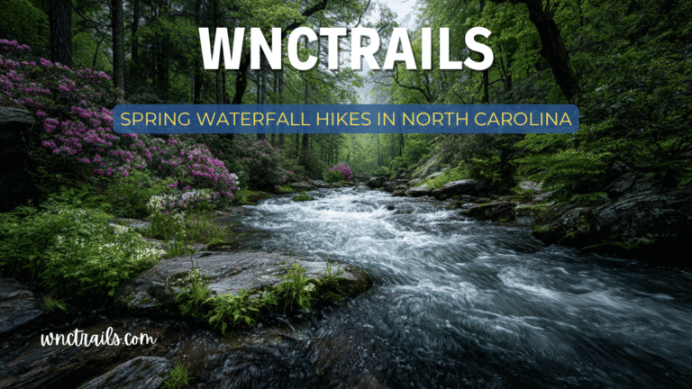
Spring (March–May) is the peak season for waterfall flow — snowmelt and April rains fill the rivers to maximum volume. The forests are coming alive with wildflowers, and the light is beautiful.
Fall (September–November) brings lower crowds on weekdays and spectacular leaf color. Water levels are lower but scenery makes up for it.
Summer is the busiest season. Beat crowds by arriving before 9 AM or visiting on weekdays. Evening light is excellent.
Winter offers a completely different experience — frozen falls, ice-draped rock faces, and near-total solitude. Many waterfalls are accessible year-round; dress in layers and bring traction devices.
What to Bring
- Trekking poles — creek crossings and slippery rocks are common
- Water shoes or sandals with straps — for wading and crossing
- Extra clothes — mist and crossings will get you wet
- Sunscreen and layers — elevation means rapid weather changes
- AllTrails or Gaia GPS — downloaded offline for areas with no cell service
- America the Beautiful Pass — worth it if you’re hitting multiple NPS/NF sites
Leave No Trace
Western North Carolina’s waterfalls and ecosystems are fragile. Pack out all trash, stay on marked trails, don’t disturb the creek beds, and never collect rocks or plants. The goal is for these places to look the same — or better — for the next hiker.
Who Should NOT Choose Each Trail
Scenarios
- Family with Young Kids: Choose Graveyard Fields Loop for a real trail with options to turn back early and see waterfalls without technical terrain.
- Solo Hiker Seeking a Workout: Pick Rainbow Falls for a longer, more challenging hike with dramatic scenery and fewer crowds.
- Traveler with Limited Time or Mobility: Go with Looking Glass Falls—see one of NC’s most famous waterfalls in minutes, right off the highway.
Final Thoughts
From the easy roadside majesty of Looking Glass Falls to the hard-earned drama of Rainbow Falls, North Carolina’s waterfall hikes span every ability level and every kind of adventure. The concentration of falls in the Blue Ridge and Pisgah regions means you can visit multiple cascades in a single day — or build an entire trip around chasing water through the mountains.
Bookmark this guide, plan your route, and get out there. The falls are waiting.
FAQs
- Which hike is best for peak fall colors? Graveyard Fields Loop is famous for vibrant autumn foliage and open views.
- Are dogs allowed on these trails? Yes, leashed dogs are allowed on all three, but check for seasonal restrictions.
- Is swimming allowed at these waterfalls? Swimming is discouraged at Rainbow Falls (dangerous currents). Wading is possible at Graveyard Fields and Looking Glass, but always check posted signs.
When is the best time to visit for fewer crowds?
Weekdays and early mornings year-round. Avoid peak foliage weekends in October for Graveyard Fields.
Related Pages
Have a favorite waterfall hike we missed? Drop it in the comments below — we’re always updating this list.
Explore more trails at WNCTrails.com →