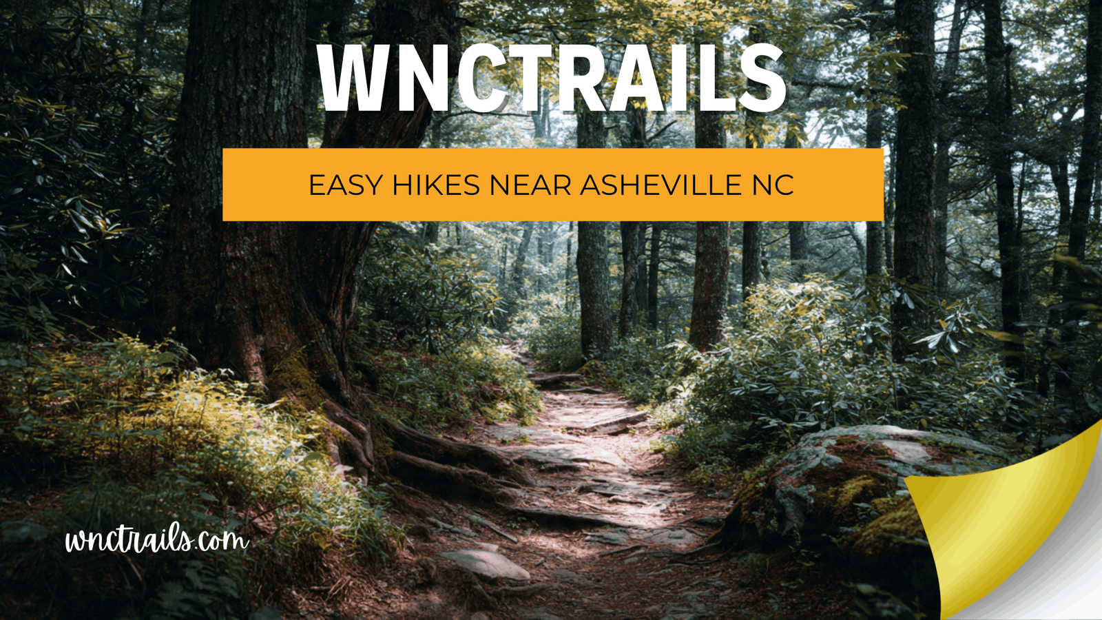
Easy Hikes Near Asheville NC: Verified Routes for Every Beginner
Recommended Tools
Disclosure: This page may contain affiliate links.
- Hiking Shoes ” Check current pricing
- Daypack ” Check current pricing
- Trekking Poles ” Check current pricing
You searched for “easy hikes near Asheville NC” — but how do you know a trail labeled easy actually is? Too many visitors arrive in Western North Carolina trusting a rating that was written by a seasoned trail runner on a dry August afternoon. What felt flat and fast to them might be a muddy, uneven climb for you. At WNC Trails, we verify every route on the ground — checking surface type, true elevation gain, seasonal hazards, and parking access — so that when we call a hike easy, we mean it for real first-timers, families, and casual walkers, not just the mountain-fit crowd.
Overview
Easy hikes near Asheville NC typically feature moderate distances”often less than 3 miles round-trip”and limited elevation gain. Many of these trails are located within a short drive from downtown, making them ideal for visitors and locals alike. Youll find a mix of paved greenways, gravel paths, and packed-dirt trails winding through forests, alongside creeks, or leading to scenic overlooks. These hikes are designed to be approachable, offering a taste of the Blue Ridge without the challenge of steep climbs or technical terrain.
What Makes a Trail Truly “Easy”? Our Local Verification Standard
The word “easy” is one of the most misused labels in hiking. On national platforms, it’s assigned by algorithm — averaging votes from thousands of users with wildly different fitness levels and expectations. A retired ultramarathoner and a first-time hiker don’t share the same definition of easy, and a trail rating shouldn’t pretend otherwise.
The 4-Point WNC Trails Easy-Hike Checklist
Every trail we label “easy” must meet all four of the following criteria, verified in person by a local hiker:
- ✅ Elevation gain under 300 ft per mile — gradual ascents only, no sustained steep pitches
- ✅ Well-defined, clear path — no route-finding required, consistent trail width of at least 3 ft
- ✅ No technical features — zero scrambling, ladders, rope sections, or exposed ledges
- ✅ Manageable stream crossings — either bridged or hop-able stepping stones under normal conditions
If a trail fails even one of these criteria, it moves to the moderate category — no exceptions. That’s the WNC Trails promise.
7 Truly Easy Hikes Near Asheville NC (Locally Verified)
Below are seven routes our local team has walked, timed, and rated using the WNC Trails verification standard. Each one is suitable for beginners, families with young children, older adults, or anyone new to hiking in the mountains.
1. Lover’s Leap Trail — Hot Springs (1.5 mi RT | Easy | Minimal Elevation)
A wide, well-maintained path leading to a dramatic overlook above the French Broad River. The ascent is steady but short, and the trail surface is mostly hardpacked dirt with no technical sections. Best for: Beginners wanting a scenic payoff with minimal effort. Parking: Free lot in Hot Springs town center — no reservation needed.
2. Lake Imaging Trail — Chimney Rock State Park (1.0 mi RT | Easy | Flat)
A flat, wide lakeside trail through the Rocky Broad River valley — one of the few genuinely flat hikes within an hour of Asheville. The surface is smooth gravel and compacted earth with no elevation change. Seasonal note: Wildflowers bloom along this stretch from April through June, making it especially scenic in spring. Fee required: State park entrance fee applies — check the WNC Trails listing for current pricing.
3. Bearwallow Mountain Trail — Cane Creek (5.4 mi RT | Easy-Moderate | Open Meadows)
Don’t let the distance fool you — this trail gains elevation gently over a long stretch, making it feel much easier than comparable mileage on steeper routes. The reward is a wide-open summit meadow with 360-degree views and grazing horses. WNC Trails note: Rated easy-moderate due to cumulative elevation; perfect for beginners ready to extend their range. Crowd level: Light on weekdays — a great alternative to busier Asheville-area trailheads.
4. Rattlesnake Lodge Trail — Blue Ridge Parkway (4.0 mi RT | Easy | Forest Walk)
A wide, well-groomed trail on the Appalachian Trail corridor leading to historic stone ruins of a early-1900s mountain lodge. Gradual grade throughout, shaded canopy the entire way. Why beginners love it: The destination makes the hike feel purposeful, and the trail is clearly signed at every junction. Parking: Roadside pullout on US-70 — arrives fast in summer; plan for before 9 a.m.
5. Craggy Pinnacle Trail — Blue Ridge Parkway MP 364.1 (1.6 mi RT | Easy | Alpine Views)
A short but high-elevation trail through ancient Catawba rhododendron tunnels to an open rocky summit with some of the best panoramic views near Asheville. Elevation at trailhead is already 5,480 ft — meaning the climb is short but your lungs may notice the altitude. Seasonal highlight: Rhododendron bloom peaks mid-June; conditions and bloom status are updated weekly on WNC Trails in season. Note: Blue Ridge Parkway closes seasonally — check the WNC Trails conditions tab for road status.
6. Bent Creek Greenway — Bent Creek Experimental Forest (2.0–5.0 mi | Easy | Multi-Use)
A network of wide, flat forest roads and greenway paths just 15 minutes from downtown Asheville. No single summit, but a beautiful creek-side wander through old-growth hardwoods. Mix and match loops to fit your time and energy. Dog-friendly: Yes, on leash. Parking: Multiple access points — WNC Trails maps all of them with directions and fee info.
7. Max Patch Summit Loop — Hot Springs Area (1.4 mi RT | Easy | 360° Views)
One of the most photographed spots in all of Western North Carolina — a bald summit on the Appalachian Trail with unobstructed 360-degree mountain views. The trail itself is short and gentle, but the access road (unpaved FR-1182) requires slow driving. Parking alert: The lot has a 20-car limit enforced by a reservation system — reservation required for weekends May–October. WNC Trails links directly to the current booking portal and updates reservation requirements in real time.
Closed Trails & Inaccessible Trailheads: How to Avoid a Wasted Trip
Nothing ruins a hiking day faster than arriving at a trailhead gate that’s been closed for three weeks — and finding out from a sign you couldn’t read on your phone. Trail and road closures in Western North Carolina happen more often than most visitors expect, for reasons ranging from storm damage to seasonal wildlife protection to Blue Ridge Parkway seasonal shutdowns.
What WNC Trails Tracks That Other Apps Miss
- 🚧 Storm & blowdown closures — reported within 24 hrs by local contributors
- 🐻 Wildlife area closures — seasonal nesting and denning restrictions in Pisgah and GSMNP
- 🛣️ Road closures to trailhead — Blue Ridge Parkway seasonal shutdowns, unpaved Forest Service road conditions
- 🅿️ Parking lot status — capacity, reservation requirements, fee changes
- ❄️ Winter ice & snow alerts — elevation-specific flags for trails above 4,000 ft
Before you drive more than 30 minutes to any trailhead, check the WNC Trails conditions tab — it’s the fastest way to know if a trail is actually open today.
Easy Hikes Near Asheville by Location: Finding Trails Closest to You
Western North Carolina covers a large geographic area, and “near Asheville” can mean very different things depending on where you’re staying. Here’s a quick orientation to the main hiking zones, each with easy-rated trails verified by WNC Trails.
| Zone | Distance from Asheville | Best Easy Trail | What Makes It Special |
|---|---|---|---|
| Blue Ridge Parkway | 0–20 min | Craggy Pinnacle | Alpine views, rhododendron tunnels |
| Bent Creek / South Asheville | 15 min | Bent Creek Greenway | Flat, dog-friendly, no fee |
| Hot Springs Corridor | 45 min | Lover’s Leap / Max Patch | River views + iconic bald summit |
| Chimney Rock / Hickory Nut Gorge | 45 min | Lake Imaging Trail | Flat gorge walk, wildflowers |
| Madison County (Cane Creek) | 30 min | Bearwallow Mountain | Open meadows, low crowds |
Gear & Prep Tips for Easy Hikes in Western North Carolina
Even the easiest trail in WNC deserves a little preparation. Mountain weather changes fast, distances feel longer at elevation, and a twisted ankle on a “flat” trail is still a twisted ankle. Here’s what our local team recommends for beginner hikers heading out in Western NC.
The Short Easy-Hike Checklist (Any Season)
- 👟 Trail shoes or sturdy sneakers — avoid sandals or flip-flops even on paved paths
- 💧 1 liter of water per person — dehydration happens even on short hikes
- 🧴 Sunscreen + insect repellent — open meadow summits (Max Patch, Bearwallow) offer zero shade
- 🌦️ Check the weather at trailhead elevation — it can be 10°F cooler and rainy at 5,000 ft while Asheville is sunny
- 📱 Download the WNC Trails trail map offline — cell service is unreliable in many Forest Service areas
Hooker Falls NC – Easy Family Friendly Waterfall Hike Near Brevard
- Waterfall
- Forest
- Yes
- Yes
Dry Falls NC – Easy Waterfall Stop Near Highlands
- Waterfall
- Yes
- Yes
- Yes
Moses H Cone Carriage Trails NC – Easy Family Friendly Hikes Near Blowing Rock
- Waterfall
- Forest
- Yes
Looking Glass Falls NC – Easy Waterfall Near Asheville
Key Considerations
When planning an easy hike near Asheville, consider the following factors to ensure a positive experience:
- Trail Surface: Some easy trails are paved or gravel, while others may have uneven roots or rocks. Check trail descriptions and photos if accessibility is a concern.
- Distance and Elevation: Even "easy" hikes can feel longer at higher elevations. Review maps and trail profiles to match your comfort level.
- Weather: Mountain weather can change quickly. Bring layers and check forecasts, especially for higher-elevation trails like Craggy Gardens.
- Parking and Fees: Some trailheads, like the Arboretum, require an entrance fee or parking pass. Arrive early on weekends to secure a spot at popular locations.
- Seasonal Conditions: Trails may be muddy in spring or icy in winter. Summer brings wildflowers, while fall offers colorful foliage.
- Trail Etiquette: Stay on marked paths, carry out trash, and yield to other trail users, especially on multi-use greenways.
Families with young children or those with mobility limitations will find several options with benches, restrooms, and interpretive signs. Always verify trail status before visiting, as maintenance or weather events can temporarily close some areas.
Common Use Cases
Easy hikes near Asheville NC serve a wide range of visitors and needs:
- Family Outings: Wide, gentle trails like those at the Arboretum or Bent Creek Greenway are stroller-friendly and offer educational opportunities for kids.
- Visitors New to Hiking: Short loops such as the Folk Art Center Trails or the Botanical Gardens at Asheville provide a low-commitment introduction to the outdoors.
- Active Recovery and Leisure Walks: Many locals use these trails for daily exercise, dog walks, or peaceful nature breaks without strenuous exertion.
- Scenic Photography: Trails like Graveyard Fields and Craggy Gardens are favorites for sunrise, sunset, and wildflower photography”no technical hiking required.
- Accessible Nature Experiences: Paved trails and greenways make it possible for people with mobility aids to enjoy the regions scenery.
Most easy hikes are open year-round, though conditions vary by season. Spring and early summer bring vibrant blooms, while autumn is peak leaf season. Winter hikes can be peaceful, but check for ice or closures at higher elevations.
Your Next Easy Hike Near Asheville Is One Click Away
Western North Carolina delivers some of the most breathtaking scenery in the eastern United States — and you don't need years of hiking experience to enjoy it. With WNC Trails' locally verified difficulty ratings, real-time conditions, and honest trailhead details, you can step out the door with full confidence that the trail marked easy will actually feel that way when your boots hit the dirt.
The mountains of Western North Carolina don't ask for much — just a good trail, the right information, and the willingness to show up. We've handled the first two. The rest is yours.
Frequently Asked Questions
- Are there truly easy hikes close to Ashevilles downtown?
Yes, several trailheads are within a 10“20 minute drive from downtown, including the Botanical Gardens at Asheville, the Folk Art Center, and the Bent Creek area. - Can I bring my dog on these trails?
Most easy hikes near Asheville NC are dog-friendly, but always check specific regulations and keep pets leashed. Some gardens may have restrictions. - Are these hikes suitable for seniors or people with limited mobility?
Many greenways and paved paths are accessible. For example, the North Carolina Arboretum and Bent Creek Greenway offer smooth surfaces and gentle grades. - Do I need any special gear?
For most easy hikes, sturdy walking shoes and a water bottle are sufficient. Bring sun protection and a light jacket for changing weather. - Is there a best time of year for easy hikes near Asheville?
Every season has its merits. Spring and summer offer lush vegetation and blooms, fall is famous for foliage, and winter provides quieter trails and clear views. - Do I need to pay for parking or access?
Some locations, like the Arboretum, charge an entrance fee. Most public trailheads along the Blue Ridge Parkway or city greenways are free, but always check ahead.
Easy hikes near Asheville NC are an excellent introduction to the regions outdoor opportunities. Whether youre seeking a casual outing or a gentle adventure, these trails combine accessibility with the natural beauty that makes Western North Carolina unique.
🥾 Browse every easy, verified trail near Asheville — filter by distance, location, dog-friendly, and more.
👉 See All Easy Hikes on WNC Trails → | 👉 Check Today's Trail Conditions →