If you’ve got a few hours in Highlands or Cashiers and want a trail that won’t wreck your knees or eat your whole afternoon, the trick is knowing which trails in this area are actually easy — not just short on a map. This corner of WNC has a reputation for dramatic cliffs and long ridge walks, and plenty of those trails are genuinely tough. This page skips those and focuses on the routes our editorial team has walked that are short, gentle, or flat enough for most fitness levels, including a few waterfall stops that deliver a big payoff for very little effort. We’ll cover which trails fit, how we ranked them, and what to actually expect at the trailhead.
The Easiest Trails in Highlands and Cashiers
1. Dry Falls Trail (0.11 mi)
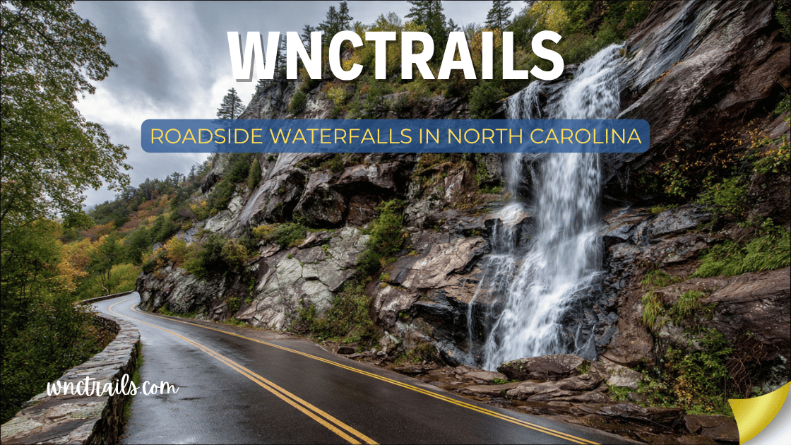
This is about as low-commitment as a WNC waterfall gets. At just over a tenth of a mile, Dry Falls Trail leads to a 75-foot waterfall in Cullasaja Gorge, and a set of stairs actually lets you walk behind the falling water. It’s paved or graded enough that families with young kids and older hikers manage it without trouble. The reason it makes this list first is simple: nowhere else in the cluster gives you this much scenery for this little walking.
2. Glen Falls Trail (0.60 mi)
Glen Falls packs three separate waterfalls into a short out-and-back, and the third one has a swimming hole that’s genuinely family-friendly on a warm day. At 0.60 miles, it’s longer than Dry Falls but still well within reach of most hikers. Worth knowing: the trail does lose some elevation heading down to the falls, so the return trip has a bit more effort than the way in — nothing extreme, just enough that you’ll notice it.
3. Whitewater Falls Trail
This trail gets you to Upper Whitewater Falls, a 411-foot drop that’s the highest waterfall east of the Rockies. The access trail itself is short and doesn’t demand technical hiking skill, which is exactly why it belongs here — you’re trading almost no trail effort for one of the most dramatic views in the whole region. Because exact mileage isn’t specified in our data, treat it as a brief walk to an overlook rather than a backcountry trek, and check current conditions before you go since overlook access can shift with maintenance work.
4. Overlook Trail (0.50 mi)
At half a mile, Overlook Trail is one of the shorter connector routes in the Panthertown Valley network, linking Blackrock Trail and Carlton’s Way Trail. On its own it’s a quick, manageable walk, and it’s a good option if you want a taste of Panthertown’s scenery without committing to a longer valley loop.
5. Little Green Trail (0.94 mi)
Little Green connects Panthertown Valley Trail and Mac’s Gap Trail and sits just under a mile. It’s not officially labeled by difficulty in our records, but as a connector trail through the valley floor area, it tends to be a gentler walk than the ridge and knob trails nearby — a reasonable pick if you want a slightly longer stroll than Overlook Trail without stepping up to steeper terrain.
6. Deep Gap Trail (1.36 mi)
Deep Gap Trail connects to Panthertown Valley Trail and runs about 1.36 miles. It’s a solid middle-ground option for this list — long enough to feel like a real hike, short enough to knock out in an hour or so. One important access note: the FS 71 road that serves this trail closes seasonally from April 1 to January 1, so this is really a winter-window hike for anyone relying on that access point. Check current conditions before you go, since seasonal gates can affect your plans more than the trail itself.
7. Panthertown Valley Trail (2.0 mi)
This one connects the east and west Panthertown Valley parking areas and runs 2.0 miles. It’s longer than the others on this list, but it’s a valley-floor route rather than a climb, which is why we’re including it here — distance alone doesn’t make a trail hard, and this one is more about mileage than elevation. If you want the flavor of Panthertown’s granite domes and forest scenery without tackling a strenuous ridge trail, this is the practical way to see a good stretch of it.
How We Ranked These
We weighed four things when building this list, and we’re upfront about the trade-offs in each.
- Documented difficulty and distance. We only pulled from trails where the data explicitly supports “easy” or where the distance and terrain type (short connector, valley floor, waterfall access) reasonably suggest a gentle walk. We left out anything labeled “more difficult” or built around a strenuous climb, even if it’s popular.
- Scenic payoff relative to effort. Dry Falls and Glen Falls rank high because the reward-to-effort ratio is about as good as it gets in this region — you’re not walking far for something forgettable.
- Access reliability. Trails with known seasonal closures, like Deep Gap Trail’s FS 71 gate, are included but flagged honestly rather than left as a surprise at the trailhead.
- Connector value. Several of these trails (Overlook, Little Green, Deep Gap, Panthertown Valley) are part of the Panthertown network. We ranked them partly on how well they let you build a short, easy loop or out-and-back without accidentally wandering onto a tougher connector like Rattlesnake Knob or Blackrock.
Parking and Trailhead Reality
Dry Falls and Glen Falls both see heavy foot traffic because they’re short, scenic, and close to Highlands — expect their trailhead lots to fill on weekends and during peak fall color, especially midday. Arriving early or later in the afternoon generally improves your odds. Panthertown Valley’s east and west access points serve a much larger trail network, so lots there can fill up too, particularly when hikers are heading out for longer loops that happen to start on the same easy trails covered here. None of these access roads are unusual for the region, but a few stretches leading into Panthertown involve gravel, so a vehicle with reasonable ground clearance makes the drive less stressful. As always, check current conditions before you go, since road and lot conditions can change with weather.
Seasonal Notes
Fall color season brings the heaviest crowds to the waterfall trails — Dry Falls and Glen Falls in particular — because they’re easy enough for visitors of all experience levels to combine with a scenic drive through Cullasaja Gorge. If you’re aiming for a quieter visit, weekday mornings outside of peak leaf season are your best bet. Winter is a mixed bag: it thins out the crowds significantly, but stairs and overlook areas at Dry Falls and Whitewater Falls can ice over, so footing deserves real attention rather than assumption. Deep Gap Trail is the one seasonal wildcard on this list — its FS 71 access road is open only from January 1 to April 1, meaning it’s effectively a cold-weather hike if you’re relying on that entry point. Outside that window, you’d need to reach it via a different Panthertown connector.
Access Notes
None of the trails on this list require a permit in our records, but Panthertown Valley is managed land with its own set of expectations around staying on marked trails and respecting closures, so it’s worth treating the connector trails (Overlook, Little Green, Deep Gap, Blackrock) as part of a shared system rather than isolated paths. Cell service is inconsistent throughout the valley, so downloading a map or noting trailhead signage before you start is a reasonable precaution, especially if you’re linking a couple of these short trails into a longer outing. For the waterfall trails near Highlands, the main friction point isn’t navigation — it’s crowd density and slick rock near the falls, so sturdy footwear matters more than route-finding gear.
Frequently Asked Questions
What’s the easiest hike near Highlands for someone who doesn’t hike much?
Dry Falls Trail is the most accessible option on this list at just 0.11 miles, with stairs that let you walk behind the waterfall without a demanding approach.
Are any of these trails good for kids?
Glen Falls Trail is a strong pick for families thanks to its swimming hole at the third waterfall, and Dry Falls Trail’s short distance makes it manageable for younger hikers too.
Is Panthertown Valley Trail actually easy, or just short?
It’s more about distance than elevation — at 2.0 miles it’s the longest trail on this list, but it runs along the valley floor rather than climbing a ridge, so most hikers find it a moderate but manageable walk rather than a strenuous one.
Why isn’t Whiteside Mountain Trail on this list?
Our verified data labels it “more difficult,” with real elevation and cliff exposure, so it doesn’t fit an easy-hikes angle even though it’s one of the most popular trails in the area.
Can I combine Deep Gap Trail with other easy trails in one trip?
Yes, since it connects directly to Panthertown Valley Trail, but remember its FS 71 access closes from April 1 to January 1 — check current conditions and access dates before planning around it.
If you want to compare these trails side by side, or check what else is nearby with current difficulty and distance filters, browse the full WNC Trails directory at WNC Trails directory. Trail and road conditions in this region can shift with weather and season, so it’s always worth checking current conditions before you head out.
Related Pages
- Fall Foliage Hikes Near Highlands And Cashiers
- Dog Friendly Highlands And Cashiers Hikes
Want more routes in this area? See our complete guide to Highlands and Cashiers hikes.