Trail status (checked September 2026) — conditions change; confirm with the managing agency before you go.
- Mount Mitchell State Park is open but reachable only from the Asheville side of the Blue Ridge Parkway while Helene repairs continue north of the park. A section of the Old Mitchell Trail (park office to the Camp Alice Trail junction) and several connecting Pisgah National Forest trails were still closed. Source: NC State Parks
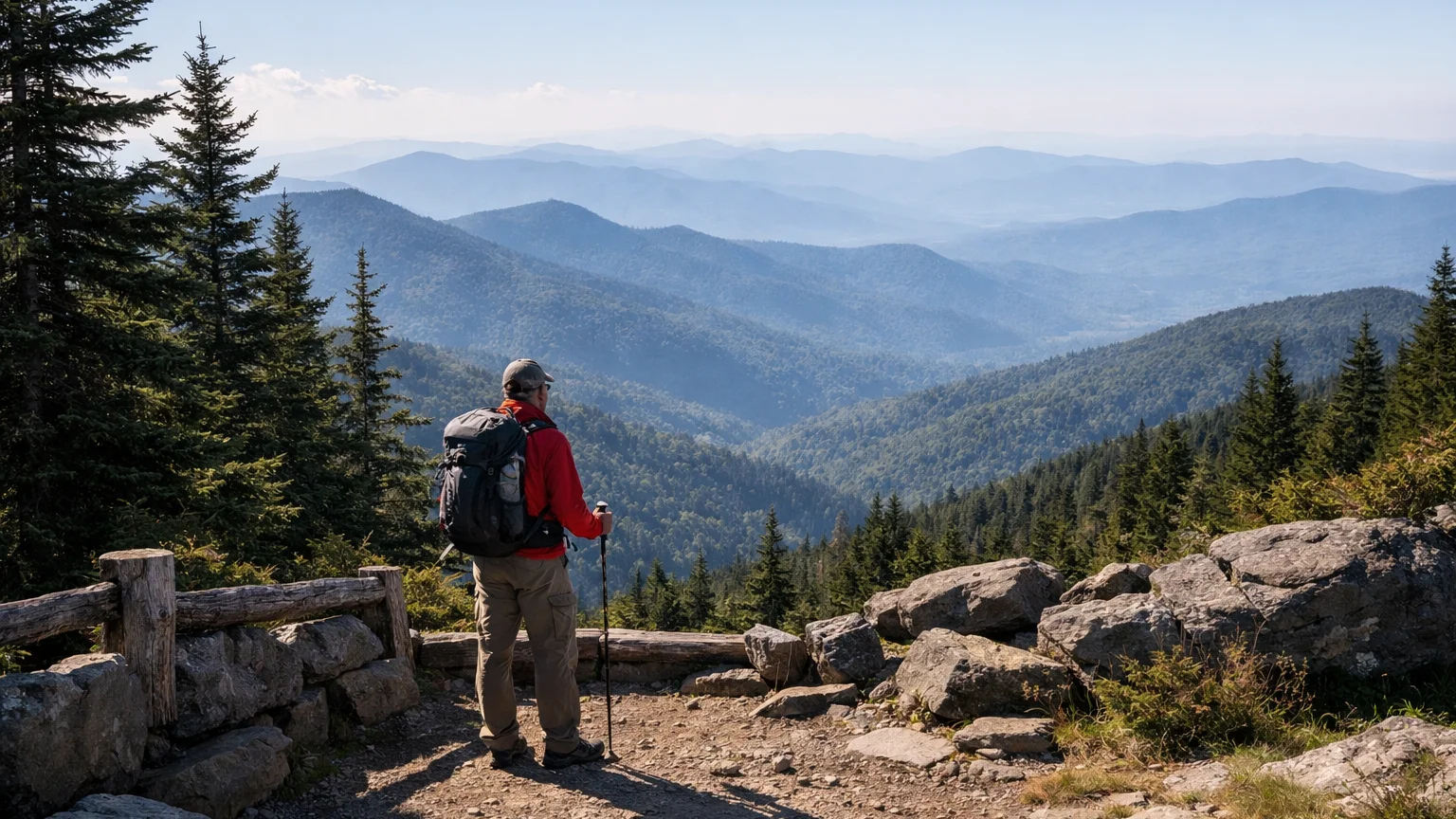
Mount Mitchell State Park and the ridgeline above Burnsville pack an unusual amount of variety into one small corner of the Black Mountains. You can drive up, walk five minutes to an overlook, and be back in the car before lunch — or you can spend a full day (or several) grinding along the Black Mountain Crest Trail past peak after 6,000-foot peak. The trick is matching the trail to what you actually want out of the day: a quick payoff view, a moderate half-day loop, or a genuine backcountry test piece. This page breaks down the verified trails in this cluster, tells you honestly what each one delivers, and covers the parking, seasonal, and prep details that actually matter before you commit a tank of gas to the drive up. For other areas, see the best Asheville-area hikes.
The Best Mount Mitchell and Burnsville Hikes, Ranked by What They Actually Offer
1. Mount Mitchell Trail (5.6 mi one way; Strenuous)
This is the trail if your goal is standing on the highest point east of the Mississippi and earning it on foot rather than by car. It’s a long, sustained climb, not a casual afternoon stroll, and it should be treated with the same respect you’d give any high-elevation strenuous hike in the Southern Appalachians. The payoff is the summit itself — a genuine bucket-list hike for people who want the full experience instead of the parking-lot version.
2. Black Mountain Crest Trail (11.3 mi one way; Strenuous)
For hikers who want the Black Mountains at their most dramatic, this is the trail. It crosses multiple peaks above 6,000 feet, which means repeated climbs and descents along an exposed, high-elevation ridge. This isn’t a there-and-back afternoon outing — it demands real fitness, solid navigation, and a full-day (or overnight) mindset. If you’ve already done the shorter park trails and want the real backcountry version of Mount Mitchell hiking, this is where locals point serious hikers.
3. Mountains-to-Sea Trail, Black Mountains Section (22.9 mi one way; Strenuous)
This isn’t a day hike for most people — it’s a long-distance segment of North Carolina’s cross-state trail, and it runs directly through the Black Mountains. It’s worth knowing about even if you never hike the whole thing, because sections of it overlap with or connect to other trails in this cluster, and thru-hikers passing through Burnsville often use it to link up with Mount Mitchell itself. Treat this as a multi-day undertaking, not a quick add-on.
4. Old Mitchell Trail (2 mi one way; Moderate)
A solid middle-ground option for hikers who want more than a viewpoint walk but aren’t ready to commit to the full Mount Mitchell Trail. At two miles one way with a moderate rating, it’s approachable for reasonably fit hikers without the all-day commitment of the strenuous routes on this list, and it’s a common way to shape a shorter loop within the park.
5. Balsam Nature Loop / K.I.P. Track (0.7 mi loop; Moderate)
A short, self-contained loop that’s ideal if you want to actually learn something about the high-elevation spruce-fir forest you’re standing in rather than just passing through it. At under a mile, it’s a good option for families or anyone easing into the altitude before attempting something longer nearby.
6. Commissary Trail (2 mi one way; Easy)
The easy-rated option in this cluster, and a good pick if you want mileage without the elevation punishment of the strenuous trails. It’s a practical choice for hikers traveling with kids, older family members, or anyone who wants to spend time in the park without a demanding climb.
7. Campground Trail (0.4 mi one way; Easy)
A short, easy connector-style walk, useful if you’re camping in the park and want a low-effort stretch of the legs, or if you’re linking it with one of the other short trails to build a slightly longer outing without adding real difficulty.
8. Camp Alice Trail (0.5 mi one way; Strenuous)
Don’t let the short distance fool you — this one is rated strenuous for a reason, typically because of a steep, concentrated elevation change packed into a very short stretch. It’s worth knowing about as a connector for hikers building a summit route, but it’s not a casual half-mile.
How We Ranked These
Distance-to-payoff ratio: we weighed how much a trail delivers — summit views, ridgeline scenery, forest immersion — relative to the physical effort required, since that’s usually the real question hikers are trying to answer.
Honest difficulty matching: rather than pushing everyone toward the marquee summit trail, we sorted these by the difficulty ratings in the verified trail data so families, casual walkers, and serious hikers can each find a trail that actually fits their day.
Standalone value: every trail on this list can be hiked on its own and still feel worthwhile — none of these require pairing with another trail to justify the drive up.
Local relevance to Burnsville access: we prioritized trails that hikers based in or passing through Burnsville realistically use, rather than obscure connectors with little independent value.
Parking and Trailhead Reality
Mount Mitchell State Park’s main lot serves several of these trailheads at once, including the Mount Mitchell Trail, Old Mitchell Trail, Camp Alice Trail, Commissary Trail, and the short nature loops — which means it can fill up fast on clear weekends, especially in fall. If you’re aiming for a weekend hike, particularly during leaf season, plan to arrive early. The Black Mountain Crest Trail and the Mountains-to-Sea Trail section involve more planning around trailhead access since they aren’t simple loop-back walks from a single lot — you’ll want to think through your exit point before you start, not after. Check current conditions and any parking advisories before you go, since access can shift with weather or maintenance work.
Seasonal Notes
This is genuinely high-elevation terrain, and conditions at the summit can differ drastically from what you experience at the base or even in downtown Burnsville. Fall brings the heaviest crowds thanks to leaf season, which affects both parking and trail traffic on the shorter, more accessible trails like Old Mitchell and Commissary. Winter can bring ice and snow well after it’s melted at lower elevations, which matters most on the exposed, strenuous routes like the Black Mountain Crest Trail and the summit approach on Mount Mitchell Trail. Spring and summer are generally more forgiving, but afternoon thunderstorms are common at elevation, so an early start isn’t just about parking — it’s about being off exposed ridgeline before weather rolls in. Always check current conditions before committing to the longer strenuous trails.
What to Bring
For the short, easy trails — Commissary, Campground, and the Balsam Nature Loop — normal daypack basics are plenty: water, layers, and sturdy shoes. For the strenuous options, especially the Mount Mitchell Trail, Black Mountain Crest Trail, and the Mountains-to-Sea Trail segment, treat it like real mountain hiking: extra water, layered clothing for temperature swings at elevation, a map or offline navigation since cell service is unreliable on the ridge, and a turnaround-time plan if you’re not finishing before dark. Camp Alice Trail’s short-but-steep profile means trekking poles can be genuinely useful even though the distance looks trivial on paper.
Frequently Asked Questions
What is the best short hike near Mount Mitchell for families?
Commissary Trail (2 mi one way, Easy) or the Balsam Nature Loop (0.7 mi loop, Moderate) are the most approachable options for families or casual walkers who want to experience the park without a serious climb.
Which trail actually reaches the Mount Mitchell summit?
The Mount Mitchell Trail is the dedicated summit route at 5.6 miles one way, rated Strenuous. Old Mitchell Trail and Camp Alice Trail can also factor into summit-area routes depending on how you plan your loop.
Is the Black Mountain Crest Trail harder than the Mount Mitchell Trail?
Both are rated Strenuous, but the Crest Trail is significantly longer at 11.3 miles one way and crosses multiple peaks above 6,000 feet, making it a bigger overall undertaking than the more direct summit push on the Mount Mitchell Trail.
Can I hike the Mountains-to-Sea Trail section as a day hike?
At 22.9 miles one way, this section is not realistic as a single-day out-and-back for most hikers. It’s better approached as a multi-day segment or used to connect with shorter trails in the cluster rather than attempted in full in one day.
Do any of these trails have winter access issues?
High-elevation trails in this area, particularly the Black Mountain Crest Trail and Mount Mitchell Trail, can hold ice and snow well into spring. Always check current conditions before heading out in winter or early spring.
Ready to compare these against every other verified trail near Mount Mitchell and Burnsville? Browse the full WNC Trails directory to filter by difficulty, distance, and current conditions, and double-check trail status before you head out.
Related Pages
- Hikes To Mount Mitchell Summit
- Backpacking Hikes Near Mount Mitchell
Want more routes in this area? See our complete guide to Mount Mitchell and Burnsville hikes.