Trail status (checked September 2026) — conditions change; confirm with the managing agency before you go.
- Mount Mitchell State Park is open but reachable only from the Asheville side of the Blue Ridge Parkway while Helene repairs continue north of the park. A section of the Old Mitchell Trail (park office to the Camp Alice Trail junction) and several connecting Pisgah National Forest trails were still closed. Source: NC State Parks
If you’re looking for a hike near Mount Mitchell and Burnsville that will actually fill a day, you’ve got a narrow but serious set of options. This isn’t an area full of moderate 3-mile loops — the terrain here is either short and steep or genuinely long and committing, with not much in between. This page is for the second group: hikers who have the time, legs, and gear for a real mileage day, whether that means summiting the highest point east of the Mississippi or spending most of a day on a ridge above 6,000 feet. For shorter or easier days, see hike ideas around Asheville.
The Long Hikes That Fit This Angle
1. Mount Mitchell Trail (5.6 miles one way, Strenuous)
This is the marquee hike in the cluster and the reason most people come to this corner of WNC in the first place. It climbs steadily to the summit of Mount Mitchell, the highest peak east of the Mississippi, and it earns every one of its 5.6 miles. Done as an out-and-back, you’re looking at over 11 miles round trip with sustained elevation gain the entire way up. This is the trail to pick if your goal is the summit itself and you want to earn it on foot rather than drive to the top.
2. Black Mountain Crest Trail (11.3 miles one way, Strenuous)
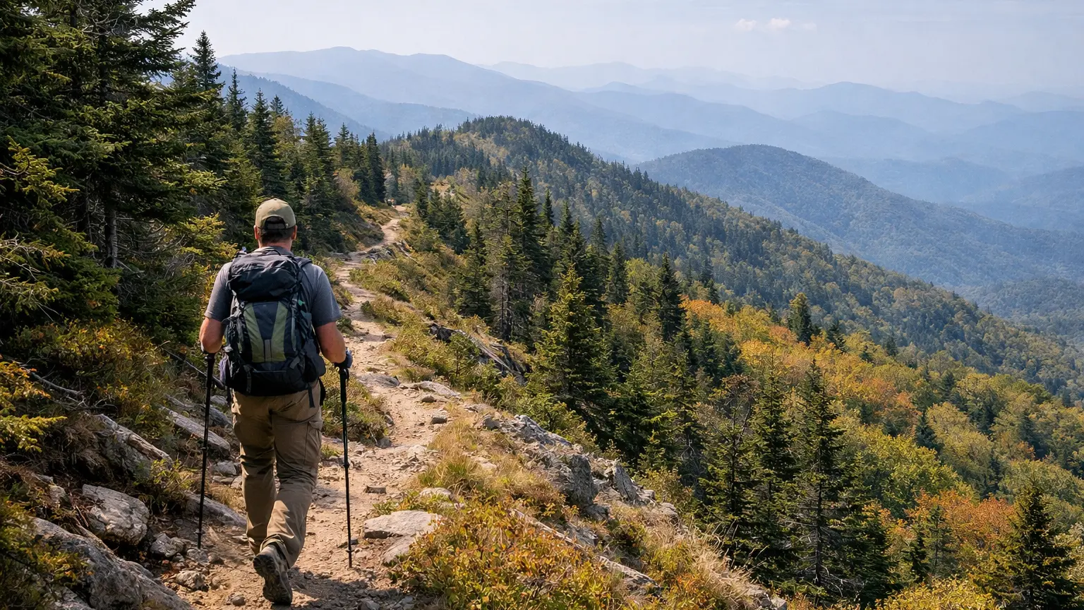
If Mount Mitchell Trail is the classic, this is the trail for hikers who want more. It runs along a ridgeline crossing multiple peaks above 6,000 feet, which means long stretches of exposed high-elevation hiking and views that don’t quit. At 11.3 miles one way, this is a serious undertaking — realistically a full-day hike or a point-to-point trip that requires a shuttle or car spot, since doing it as an out-and-back turns it into a 22+ mile day. This one is for experienced hikers who are comfortable with sustained elevation and changeable mountain weather.
3. Mountains-to-Sea Trail, Black Mountains Section (22.9 miles one way, Strenuous)
This is the longest option in the cluster by a wide margin, and it’s not really a day-hike trail for most people — it’s a long-distance section of the statewide Mountains-to-Sea Trail as it threads through the Black Mountains. Some hikers use segments of it in combination with the Crest Trail or Mount Mitchell Trail to build a longer loop or point-to-point route. If you’re drawn to this one, plan it like a backpacking trip or a multi-car shuttle day, not a casual outing.
4. Old Mitchell Trail (2 miles one way, Moderate) — as a connector
On its own, Old Mitchell Trail isn’t long. But it’s worth including here because it’s commonly used to extend or vary a Mount Mitchell summit hike, letting you build a loop instead of a straight out-and-back on the main trail. If you’re already committing to a long day near the summit, factoring this trail into your route planning can add mileage and variety without adding unnecessary difficulty.
5. Camp Alice Trail (0.5 miles one way, Strenuous) — as a connector
Short in distance but steep and rugged, Camp Alice Trail is another piece that experienced hikers use to link routes near the summit area rather than a standalone destination. Its inclusion in a longer day matters more for the connectivity it offers than for its own mileage.
Note on the shorter trails in this cluster: Commissary Trail (2 miles one way, Easy), Balsam Nature Loop / K.I.P. Track (0.7-mile loop, Moderate), and Campground Trail (0.4 miles one way, Easy) are all worthwhile trails in their own right, but none of them fit a “long hike” search — they’re better suited to a separate page on short walks near the campground and summit area. We’re not going to pad this list with them just to hit a number.
How We Ranked These
We narrowed this list down using a few honest criteria rather than just sorting by mileage:
- Actual distance and sustained effort: We only included trails that genuinely require a half-day-plus commitment, not short trails that happen to feel hard because of steepness.
- Route-building value: A couple of shorter trails made the list specifically because of how they connect to longer routes near the summit, which matters if you’re trying to build a full-day loop rather than a straight out-and-back.
- Terrain and exposure: High-elevation ridge trails like the Crest Trail carry different risk and reward than a straightforward summit climb, so we noted that distinction rather than treating all “strenuous” trails as interchangeable.
- What we confirmed in the data: We stuck to trail data we could verify rather than guessing at mileage or conditions we haven’t confirmed.
Parking and Trailhead Reality
The Mount Mitchell Trail and the connector trails near the summit (Old Mitchell, Camp Alice) generally start from trailheads within Mount Mitchell State Park, where parking can fill up during peak visitation periods, especially on weekends and during leaf season. If you’re planning a long hike, arriving early gives you a real buffer against a full lot and also gets you off exposed ridgeline terrain before afternoon weather typically rolls in.
The Black Mountain Crest Trail and the Mountains-to-Sea Trail section both involve point-to-point logistics if you’re doing them as anything other than an out-and-back. That means either a car spot at a second trailhead or a shuttle arrangement — plan this before you leave the house, not once you’re on the mountain. Access roads in this region can be gravel or seasonally affected, so check current conditions before you go rather than assuming a paved, year-round approach.
Seasonal Notes
Elevation matters a lot here. Trails that cross 6,000 feet, like the Black Mountain Crest Trail and the upper stretches of Mount Mitchell Trail, can hold snow and ice well after conditions have cleared at lower elevations in Burnsville and the surrounding valleys. Fall brings the heaviest crowds to the Mount Mitchell summit area thanks to leaf season, so if you’re doing a long hike specifically to avoid crowds, an early start or a weekday visit makes a real difference. Summer afternoons on exposed ridgeline sections can bring fast-moving storms, which is a serious consideration on a trail like the Crest Trail where you’re a long way from tree cover or an easy bailout point for miles at a stretch.
What to Bring
Any of the long routes in this cluster call for more preparation than a typical WNC day hike. Layers matter more than usual — temperatures at elevation can be noticeably colder and windier than at the trailhead parking lot, even in warmer months. Bring more water than you think you’ll need, since there’s limited reliable access along the ridge sections. A paper map or downloaded offline route is worth carrying on the Crest Trail and the Mountains-to-Sea Trail section, since cell service is inconsistent at best in this terrain. If you’re doing a point-to-point route, confirm your shuttle or car-spot plan before you start, and always check current trail conditions and any posted advisories before heading out, since alpine weather here can change fast.
Frequently Asked Questions
What’s the longest hike near Mount Mitchell and Burnsville?
The Mountains-to-Sea Trail’s Black Mountains section is the longest at 22.9 miles one way, followed by the Black Mountain Crest Trail at 11.3 miles one way. Both are serious, full-day-or-longer undertakings rather than casual outings.
Can I hike Mount Mitchell Trail as a loop instead of out-and-back?
Some hikers combine it with Old Mitchell Trail or other connector paths near the summit to vary the route, though the core Mount Mitchell Trail itself is a one-way trail typically hiked as an out-and-back.
Do I need a shuttle for the Black Mountain Crest Trail?
If you want to avoid doubling the mileage, yes — a car spot or shuttle at the far trailhead is the practical way to hike this one-way trail without turning it into a 22-plus mile round trip.
Are these trails good for a first long hike?
Mount Mitchell Trail is a reasonable first serious long hike if you’re already comfortable with sustained climbing. The Crest Trail and the Mountains-to-Sea section are better suited to hikers with prior experience at elevation and with point-to-point route logistics.
Is winter a bad time for these long hikes?
Higher elevations here can hold ice and snow longer than the surrounding valleys, so winter conditions on ridge sections deserve extra caution. Check current conditions before you go, since conditions at the trailhead can be misleading about what you’ll find higher up.
If you’re weighing these against other options nearby, browse every verified trail near Mount Mitchell and Burnsville in the WNC Trails directory, where you can filter by difficulty, distance, and current conditions before you commit to a route. Whatever you choose, check current conditions before heading out — mountain weather here doesn’t always match the forecast at the trailhead.
Related Pages
- Loop Hikes Near Mount Mitchell And Burnsville
- Hard Mount Mitchell And Burnsville Hikes
Want more routes in this area? See our complete guide to Mount Mitchell and Burnsville hikes.