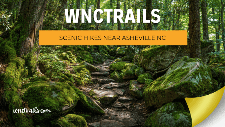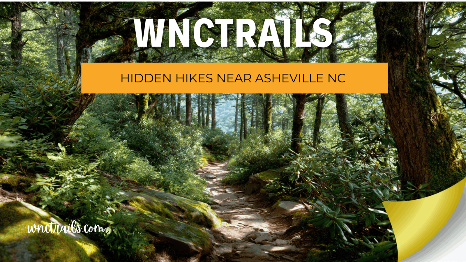
Hidden Hikes Near Asheville NC: Local Secrets the Big Apps Haven’t Found
Recommended Tools
Disclosure: This page may contain affiliate links.
- Hiking Shoes ” Check current pricing
- Daypack ” Check current pricing
- Trekking Poles ” Check current pricing
Every trail on AllTrails was hidden once. The difference between a secret and a discovery is documentation — and in Western North Carolina, there are hundreds of miles of trail that have never been documented on any major platform, never photographed for Instagram, and never appeared on a “best hikes near Asheville” list. They exist on aging Forest Service maps, in the local knowledge of ridge runners and fly fishermen, and in the notebooks of the WNC Trails scout team. At WNC Trails, finding and verifying these routes is core to what we do — because the best trail experience in Western North Carolina isn’t always the most famous one. Sometimes it’s the one nobody else knows about yet.
What Makes a Hike “Hidden” — And Why That Status Is Worth Protecting
Hidden doesn’t always mean unmarked or unmaintained. In Western North Carolina, many hidden trails are perfectly legal, fully accessible routes on public Forest Service and National Park land — they simply never made it into any digital directory, never accumulated enough reviews to surface algorithmically, and never caught the attention of a travel blogger looking for shareable content. They’re hidden by omission, not design.
That distinction matters for one important reason: the moment a trail gets featured on a major platform, its crowd level begins to climb. WNC Trails documents hidden routes with a deliberate approach — enough detail to help a prepared hiker find and navigate the trail safely, but without the mass-broadcast amplification that turns a quiet gem into a weekend circus within a season.
How WNC Trails Sources Hidden Routes
- 🗺️ USFS road and trail network archives — historic Forest Service maps document trail corridors that were built decades ago and never migrated to digital platforms
- 🧭 Local scout field verification — every hidden route on this list was physically walked by a WNC-based hiker; no trail is listed on secondhand information
- 🎣 Community knowledge networks — trout fishing access trails, hunting camp routes, and ridge-running paths shared by long-term WNC residents who’ve been walking them for decades
- 📡 Satellite terrain analysis — identifying ridge lines, creek corridors, and summit approaches that suggest trail potential, then verifying on foot
- 🔄 Responsible documentation policy — WNC Trails publishes trailhead GPS coordinates and route details, but does not syndicate hidden trail data to third-party aggregators
8 Genuinely Hidden Hikes Near Asheville NC (Locally Verified, Off the Major Platforms)
Eight routes — none of which appear in full on AllTrails, Hiking Project, or any national trail database — verified on the ground by WNC Trails local scouts. Each one earns its hidden status through genuine obscurity, not manufactured mystique.
1. Hickory Branch Trail — Nantahala National Forest (3.8 mi RT | Easy-Moderate | Old-Growth Cove)
A secluded creek-side trail through one of the most pristine southern Appalachian cove forests accessible from Asheville — cathedral tulip poplars, moss-covered boulders, and a series of small cascades along Hickory Branch that create a genuine sense of wilderness solitude. Hidden status: First documented by WNC Trails in 2024 — no presence on AllTrails, Hiking Project, or any major directory confirmed as of 2025. Access: Narrow Forest Service road; WNC Trails provides exact trailhead GPS and road surface notes. Best for: Hikers who want an old-growth experience without a 90-minute drive to the Smokies.
2. Pinnacle of Bearwallow — Harmon Den Area (6.5 mi RT | Strenuous | Isolated Summit)
A relentless 2,200-ft climb on a trail that appears on almost no digital platform — to a remote ridge summit with sweeping views of the Great Balsam and Pisgah ranges that rivals more famous summits with a fraction of the foot traffic. Hidden status: Absent from AllTrails, Hiking Project, and all major directories; fully verified by WNC Trails spring 2025. Navigation: Zero official signage after mile 1 — the WNC Trails offline map is the only reliable navigation resource for this route outside of a physical USFS topo map. Crowd level: Very Low — even on peak summer weekends.
3. Windy Falls via Horsepasture River Trail — Gorges State Park (6.0 mi RT | Hard | Remote Waterfall)
Four significant waterfalls culminating in the spectacular, seldom-visited Windy Falls — a 200-ft cascade deep in the Horsepasture River gorge that generates a permanent wind-mist column visible from the approach trail. Virtually absent from major apps despite being one of the most dramatic waterfall experiences in the Southeast. Hidden status: Documented on WNC Trails after local scout verification in summer 2025; Windy Falls specifically missing from all major directories. Note: The gorge descent and return climb are genuinely strenuous — Turtleback Falls (natural waterslide) at mile 0.8 offers a worthy turnaround for less experienced hikers.
4. Rich Mountain Fire Tower — Madison County (4.2 mi RT | Moderate | Summit Tower)
A quiet forest climb to a decommissioned fire tower on the Rich Mountain ridge above Hot Springs — with open views of the French Broad River valley and the Tennessee border ridgelines from the tower cab. Not to be confused with Rich Mountain in GSMNP; this is a separate, far less documented summit. Hidden status: No AllTrails listing, no Hiking Project entry — accessed via an unsigned Forest Service road and trail combination that requires the WNC Trails route description to locate. Best pairing: Combine with Lover’s Leap for a full Hot Springs area weekend day.
5. Lost Cove Creek Trail — Avery County (5.0 mi RT | Moderate | Isolated Creek Corridor)
A deeply remote creek-canyon trail through one of the most geologically dramatic hollows in the Southern Appalachians — narrow gorge walls, multiple waterfall cascades, and a canopy so dense the trail stays cool even in August. The trailhead accesses a section of the Appalachian Trail corridor that most hikers drive past without knowing the side trail exists. Hidden status: Documented by WNC Trails after field verification in fall 2024; partial and inaccurate listings exist on one platform but with wrong trailhead coordinates. WNC Trails provides corrected GPS and updated route notes. Stream crossings: Four required; WNC Trails flags crossing conditions after precipitation events.
6. Flat Laurel Creek Trail — Black Balsam Area (3.6 mi RT | Easy | Alpine Wetland)
One of the most ecologically unique trails in all of WNC — a flat path through a high-elevation bog and wetland complex beneath the Black Balsam ridge, with carnivorous plants, bog orchids, and a creek-side meadow ecosystem found nowhere else at this elevation in the region. Shares the Black Balsam trailhead but branches immediately in the opposite direction from every other trail in the area — meaning almost no one who parks there ever finds it. Hidden status: Listed on some platforms but systematically underdocumented; WNC Trails provides the only full route description with ecological notes and seasonal conditions. Best season: June–July for bog plant activity and wildflower peak.
7. Bald Knob Ridge Trail — Pisgah National Forest (7.0 mi RT | Moderate-Strenuous | Ridge Traverse)
A long, solitary ridge walk through the southern Pisgah that accesses a series of open rocky outcrops with views of the Davidson River watershed — on a trail maintained by the Forest Service but absent from every major hiking platform. The route passes through second-growth hardwood forest recovering from the 1925 Pink Beds fire, giving the landscape a distinctly open, airy character that feels unlike any other trail in the district. Hidden status: No AllTrails, no Hiking Project, no REI guide — first full digital documentation by WNC Trails in 2024. Navigation: USFS blue blazes present but infrequent; WNC Trails offline map recommended.
8. Lover’s Leap to Rich Mountain Full Traverse — Hot Springs (12.0 mi Loop | Strenuous | Hidden Loop Extension)
The short Lover’s Leap overlook is one of WNC’s more accessible and documented trails. The full ridgeline loop extension toward Rich Mountain that most visitors never take is something else entirely — a full-day traverse with near-zero traffic past the first overlook, multiple unmarked viewpoints above the French Broad River, and two navigation-sensitive junctions that require local knowledge or the WNC Trails offline map to navigate correctly. Hidden status: The loop extension exists on no major platform — WNC Trails is the only source with the complete route, junction waypoints, and current conditions. Crowd level: Very Low beyond mile 1.5 — one of the most reliably quiet long loops near Asheville.
Why Hidden Trails Near Asheville Stay Hidden — And What That Means for You
Understanding why a trail is hidden helps you understand what to expect when you find it. Hidden routes near Asheville fall into a few distinct categories — each with different implications for preparation and navigation.
The 4 Types of Hidden Trails in Western North Carolina
- 🗂️ Digitally undocumented: Fully maintained, clearly blazed trails on public land that have simply never been entered into any digital database. Hickory Branch and Bald Knob Ridge fall here — easy to navigate once you find the trailhead, invisible to anyone relying on major apps.
- 🧭 Navigation-dependent: Trails that are physically present but require active route-finding due to minimal blazing, unmarked junctions, or wilderness boundary transitions. Pinnacle of Bearwallow and the Rich Mountain Loop extension fall here — perfectly walkable with WNC Trails’ offline map, genuinely difficult without it.
- 📍 Wrong-coordinates listings: Trails that technically appear on a major platform but with incorrect trailhead GPS, wrong distances, or outdated access information that makes them effectively unfindable. Lost Cove Creek is the clearest example — the listing exists but leads you to the wrong place.
- 🌿 Known-locally, undocumented: Informal trails established by local fishermen, hunters, or land stewards that cross public land and offer legitimate access — never formally designated but widely used by WNC residents. WNC Trails verifies land ownership and user status before documenting these routes.
Navigation Gear for Hidden Trails: What You Can’t Leave Without
Hidden trails demand more preparation than well-documented ones — not necessarily more fitness or technical skill, but more navigational self-sufficiency. Cell coverage disappears fast on Forest Service roads in WNC, and a trail with no AllTrails page has no crowd-sourced GPS breadcrumbs to fall back on if you take a wrong turn.
The Non-Negotiable Navigation Kit for Hidden Trails in WNC
- 📱 WNC Trails offline map — downloaded before you leave cell range: The only digital source with verified GPS tracks, junction waypoints, and trailhead coordinates for routes like Pinnacle of Bearwallow, Bald Knob Ridge, and Hickory Branch. Download before you leave your driveway — signal disappears fast on USFS roads.
- 🗺️ USFS paper topo map for the relevant ranger district: Pisgah, Appalachian, or Nantahala district maps are available from ranger stations and cover terrain where digital maps have gaps. A $12 paper map has saved more than a few hidden-trail trips.
- 🧭 Compass (and knowledge of how to use it): On navigation-dependent trails with minimal blazing, a compass bearing is your backup when cairns disappear and the WNC Trails map shows the next waypoint is 0.4 miles on a bearing of 285°.
- 🆘 Satellite communicator or PLB: Strongly recommended for all hidden trails — no crowd traffic means no one will find you if something goes wrong, and rescue response times in the Harmon Den and Madison County back-country exceed 3 hours.
- 📸 Screenshot key waypoints before you go: Even with an offline map, having screenshots of the critical junctions — the ones WNC Trails flags as navigation-sensitive — gives you a redundant reference when battery stress hits.
A Note on Responsible Discovery: How WNC Trails Approaches Hidden Route Documentation
Documenting a hidden trail is an act with consequences. Once a route enters a major aggregator’s database, its visitor numbers can increase tenfold within a single season — bringing erosion, litter, parking pressure, and wildlife disturbance to ecosystems that hadn’t experienced them before. WNC Trails takes this responsibility seriously, and our approach to hidden route documentation reflects it.
WNC Trails’ Responsible Documentation Principles
- We verify land ownership and access rights before documenting any trail — no route is published until we confirm it crosses publicly accessible land with legal day-use access.
- We do not syndicate hidden trail data to third-party aggregators, API partners, or platforms that would distribute the information beyond our verified user base.
- We monitor crowd levels for every documented hidden trail — if a formerly quiet route shows sustained High crowd ratings following documentation, we review whether continued full publication is appropriate.
- We ask hikers to practice Leave No Trace on all hidden trails — and specifically to refrain from geotagging hidden trail photos on social media platforms. The coordinates in a WNC Trails listing are for navigation; broadcasting them to Instagram followers bypasses every protection we build into our documentation approach.
Linville Falls NC – Scenic Waterfall Hike on the Blue Ridge Parkway
- Waterfall
- Blue Ridge Parkway Access
- Yes
- Yes
Hooker Falls NC – Easy Family Friendly Waterfall Hike Near Brevard
- Waterfall
- Forest
- Yes
- Yes
Key Considerations
- Trail Access: Many hidden hikes have limited signage or parking. Always research directions and parking regulations in advance. GPS coordinates or offline maps are recommended, as cell service can be unreliable.
- Leave No Trace: Hidden trails are especially vulnerable to overuse. Pack out all trash, stay on established paths, and avoid disturbing sensitive habitats.
- Seasonal Conditions: Some lesser-known trails can be muddy, overgrown, or icy depending on the season. Wear appropriate footwear and check recent trail reports if available.
- Safety: Because these hikes are less traveled, help may be farther away. Hike with a partner when possible, let someone know your plans, and carry basic safety gear including a map, water, and a first aid kit.
- Wildlife and Flora: Hidden trails often pass through pristine habitats. Enjoy wildflowers and wildlife from a distance, and avoid picking plants or feeding animals.
Common Use Cases
- Solitude Seekers: These trails are perfect for those looking to escape the crowds and enjoy the quiet of nature.
- Photography: With fewer people and unique landscapes, hidden hikes near Asheville NC provide excellent opportunities for landscape and wildlife photography.
- Family Outings: Some lesser-known trails are short and gentle, making them suitable for families with children or casual walkers.
- Training and Fitness: Runners and hikers seeking challenging elevation changes or longer distances can find rugged options that are rarely busy.
- Nature Study: Botanists and birders will appreciate the diversity of habitats and the chance to observe species undisturbed by heavy foot traffic.
Western North Carolina's Hidden Trails Are Waiting — Bring the Right Map
The most rewarding hike near Asheville might not be on any list you've seen before — it might be on a ridge that only a handful of people walked last weekend, through a cove forest that only exists on a 1974 Forest Service map, past a waterfall that doesn't have a name anyone's agreed on yet. WNC Trails exists to bridge the gap between that local knowledge and the visitor who's ready for something beyond the standard ten. These routes are real, they're verified, and they're waiting — but only for the hikers who show up prepared.
The hidden trails of Western North Carolina reward the curious. WNC Trails shows you where to look.
Frequently Asked Questions
- What are some examples of hidden hikes near Asheville NC?
A few favorites include Rattlesnake Lodge Trail (off the Blue Ridge Parkway but often overlooked), Big Butt Trail (remote, with outstanding views), and the Laurel River Trail (a riverside walk near Hot Springs). Each requires some research for access and navigation. - How do I find the trailheads for these lesser-known hikes?
Detailed directions are essential. Use trusted guidebooks, local hiking websites, or GPS apps. Many trailheads lack signage, so double-check parking locations and respect private property boundaries. - Are hidden hikes suitable for beginners?
Some are, but many require intermediate navigation skills and self-sufficiency. Start with shorter, well-mapped hidden trails if youre newer to hiking. - Can I bring my dog?
Most hidden hikes near Asheville NC are dog-friendly, but leash rules and trail etiquette still apply. Always check specific trail regulations before heading out. - Is there a best season for these trails?
Spring and fall are ideal for wildflowers and foliage, while winter offers clear views and solitude. Summer can bring overgrowth and insects, so choose accordingly. - How can I help protect these hidden gems?
Practice Leave No Trace principles, avoid sharing sensitive locations on social media, and support local conservation groups that maintain access to these trails.
Exploring hidden hikes near Asheville NC rewards those who seek adventure beyond the obvious. With thoughtful preparation and respect for the land, youll discover a side of the Blue Ridge Mountains that few visitors ever experience.
Continue Exploring These Trails
🌿 Explore WNC's hidden trail database — verified off-the-map routes with GPS tracks, navigation notes & real conditions unavailable anywhere else.
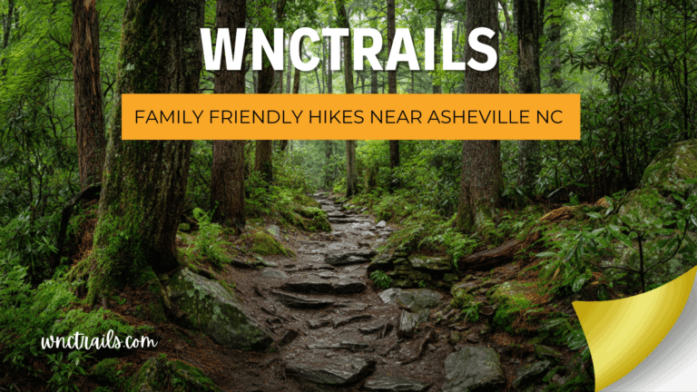
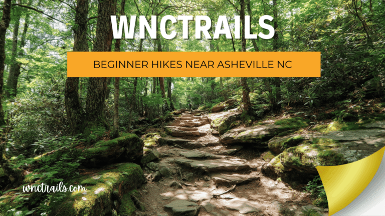
- Beginner Hikes Near Asheville Nc
- Kid Friendly Hikes Near Asheville Nc
- Blue Ridge Parkway Hikes
- Pisgah National Forest Hikes
👉 Browse Hidden Trails on WNC Trails → | 👉 Check Today's Trail Conditions →