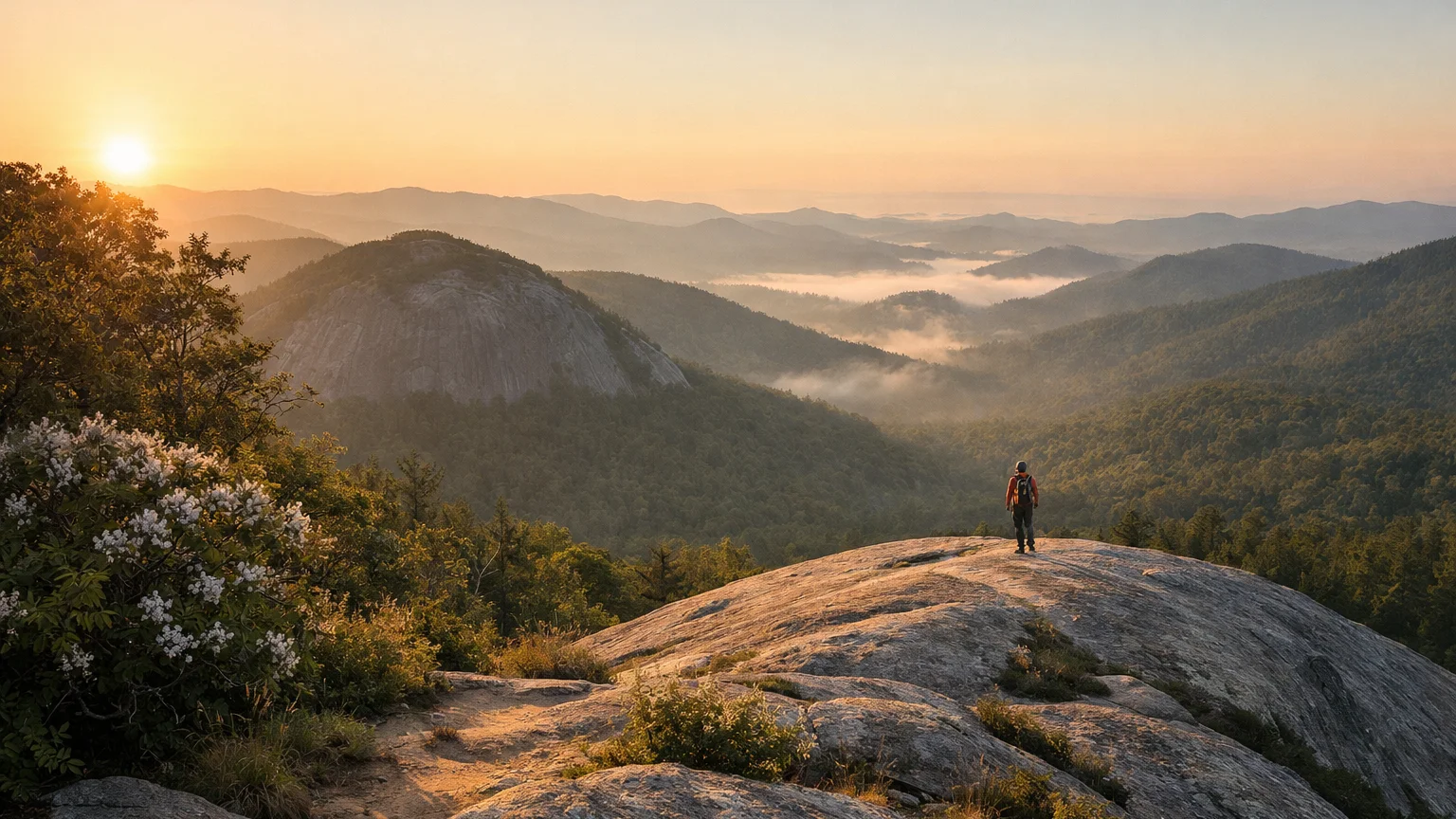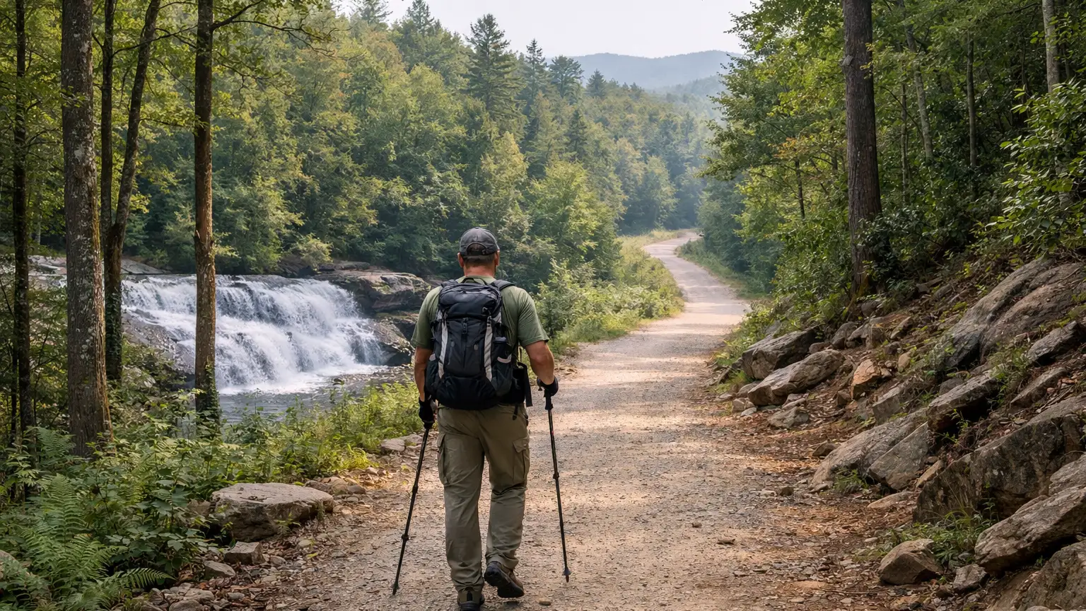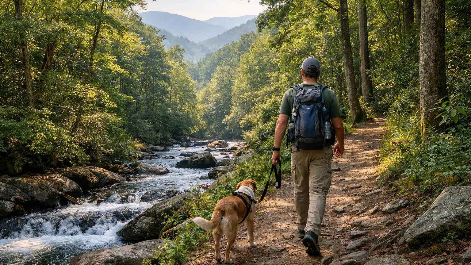
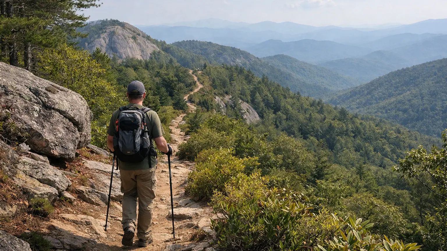
If you’ve got a full day and want to actually put in miles, the short waterfall walks around Highlands and Cashiers won’t cut it. Dry Falls and Glen Falls are worth doing, but they’re 0.11 and 0.60 miles — over before you’ve warmed up. The real mileage in this area lives in the Panthertown Valley trail network and on the Bartram Trail, where you can link connector trails into a longer loop or just keep walking for as long as you want. This page focuses on which verified trails actually give you distance, how they connect to each other, and what to know before you commit a whole day to them.
Long Trails and Connector Routes Worth Building a Day Around
1. Bartram Trail (NC section) — about 80 miles, Strenuous (long-distance)
This is the big one. The North Carolina portion of the Bartram Trail runs roughly 80 miles through the Fishhawk and Nantahala Mountains, following the route naturalist William Bartram traveled in the 1770s. Nobody does the whole thing in a day — the value here is picking a segment near Highlands or Cashiers and treating it as a long out-and-back or point-to-point with a shuttle. It’s classified strenuous for a reason: this is a long-distance route, not a casual afternoon trail, and it demands real planning around water, navigation, and exit points.
2. Powerline Road Trail — 5.52 miles
The longest single named trail in the Panthertown cluster that isn’t the Bartram. Powerline Road connects to Rattlesnake Knob, Riding Ford, and Panthertown Valley trails, which means it functions as a spine you can build a loop around rather than a dead-end walk. If you want serious mileage without leaving the Panthertown system, this is the trail that makes it possible.
3. Panthertown Valley Trail + connectors (build your own long loop)
Panthertown Valley Trail itself is only 2.0 miles, connecting the east and west parking areas, but that’s really the entry point. From there you can pick up Deep Gap Trail (1.36 miles), Blackrock Trail (1.7 miles), Rattlesnake Knob Trail (1.56 miles), Little Green Trail (0.94 miles), and Overlook Trail (0.50 miles) to stitch together a route as long as your legs allow. None of these individual segments are long on paper, but the way they interlock is the point — a hiker who wants six or eight miles in a day can combine three or four of these rather than relying on one long trail.
4. Whitewater Falls Trail — access to a 411-foot waterfall
No official mileage is listed for this one in our data, so we won’t invent a number. What we can tell you is that it’s the access trail to Upper Whitewater Falls, the highest waterfall east of the Rockies at 411 feet. It’s not a marathon hike, but it’s a worthwhile add-on if you’re already spending a long day in the area and want a payoff destination that isn’t just more forest.
5. Whiteside Mountain Trail — 2.0-mile loop, More difficult
Short on distance compared to the others here, but it earns its spot on a “long hike” day because of what it demands: 750-foot cliffs and views from 4,930 feet, the highest point on the Eastern Continental Divide. Pair it with a Panthertown loop or a Bartram segment earlier in the day and you’ve got a genuinely full outing — just don’t expect it to eat up hours on its own.
How We Ranked These
We weighted trails for this list on three things. First, actual distance as stated in verified trail data — we didn’t round up or estimate mileage that wasn’t documented. Second, connectivity: a 1.36-mile trail that links into three others is more useful for a long-hike itinerary than a similar-length trail that dead-ends, so Panthertown’s connector web scores well here even though no single segment is long. Third, payoff relative to effort — Whiteside Mountain is short but demanding enough, and scenic enough, that it belongs on a longer day’s itinerary even though it wouldn’t make an “easy hikes” list. Trails like Dry Falls and Glen Falls were left off this page entirely because at 0.11 and 0.60 miles, they don’t fit a “long hike” angle no matter how good the waterfalls are.
Parking and Trailhead Reality
Panthertown Valley has east and west parking areas, and both can fill up on weekends, especially once people realize how many connector trails originate there. If you’re planning to combine several trails — say, Powerline Road into Rattlesnake Knob — get there early, because a full lot means a longer walk before you’ve even started your “real” hike. Whiteside Mountain’s trailhead is popular enough that arriving mid-morning on a weekend often means circling for a spot. The Bartram Trail is different — access points are scattered across a much larger area, so parking pressure depends entirely on which segment and trailhead you choose. Check current conditions and trailhead status before you go, since access points can change.
Seasonal Notes
One access road in this cluster has a documented seasonal closure: FS 71, which serves Deep Gap Trail, closes from April 1 to January 1. That’s a long closure window, so if your planned Panthertown loop depends on that access point, you’ll need an alternate route into the valley for most of the year. Beyond that specific closure, leaf season (typically peak color weekends in fall) brings noticeably heavier traffic to Whiteside Mountain and the Panthertown trailheads — if you’re trying to log real mileage without stopping for photo lines at overlooks, a weekday hike is worth the trade-off. Winter can bring icy conditions to higher-elevation stretches like Whiteside Mountain’s exposed cliff areas, so check current conditions before committing to anything with exposure.
What to Bring
For anything in the Panthertown network, bring a map or downloaded GPS track — the connector trails (Blackrock, Overlook, Little Green, Rattlesnake Knob) cross each other enough that it’s easy to end up on a different loop than you intended, which is fine if you have extra time but frustrating if you don’t. For Bartram Trail segments, treat it like a long-distance hike: water capacity for the whole segment, a real map since this isn’t a casual loop trail, and a plan for your exit point if you’re not doing an out-and-back. For Whiteside Mountain, sturdy footwear matters more than usual given the cliff exposure and the “more difficult” rating. Across all of these, check current conditions before you go — trail conditions, water crossings, and closures can shift.
Frequently Asked Questions
What’s the longest single hike near Highlands and Cashiers?
The Bartram Trail’s North Carolina section, at roughly 80 miles, is by far the longest continuous route. Most hikers do a segment rather than the whole thing in one outing.
Can I combine Panthertown trails into one long hike?
Yes — that’s the main appeal of the Panthertown network. Trails like Powerline Road, Deep Gap, Blackrock, Rattlesnake Knob, Little Green, and Overlook all connect to Panthertown Valley Trail or to each other, so you can build a loop of several miles by stringing segments together.
Is Whiteside Mountain a long hike?
Not by distance — it’s a 2.0-mile loop — but it’s rated more difficult and involves real elevation and exposure near 750-foot cliffs, so it earns its place on a full-day itinerary even though the mileage is short.
Does Deep Gap Trail stay open year-round?
The FS 71 access road that serves Deep Gap Trail closes seasonally from April 1 to January 1. Plan an alternate route into Panthertown if you’re relying on that access point during the closure window.
Is there a long waterfall hike in this area?
Whitewater Falls Trail gets you to Upper Whitewater Falls, a 411-foot drop, but no specific mileage is documented for the access trail itself. It’s better treated as a destination stop within a longer day rather than a long hike on its own.
For the full picture — every verified trail near Highlands and Cashiers filtered by difficulty, distance, and current conditions — browse the WNC Trails directory at WNC Trails directory. As always, check current conditions before you head out, especially if you’re planning a longer day that depends on a specific access road or trailhead staying open.
Related Pages
- Loop Hikes Near Highlands And Cashiers
- Hikes With Water Views Near Highlands And Cashiers
Want more routes in this area? See our complete guide to Highlands and Cashiers hikes.