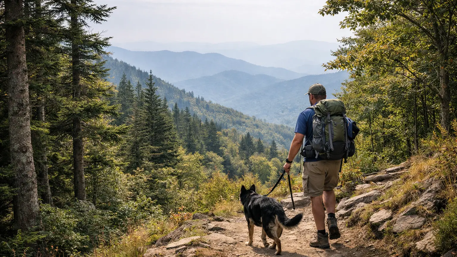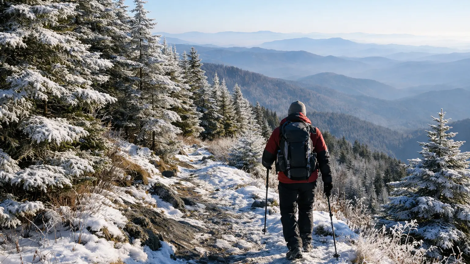
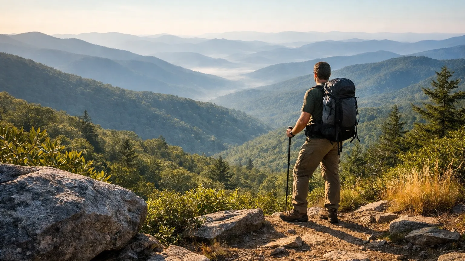
Trail status (checked September 2026) — conditions change; confirm with the managing agency before you go.
- Linville Falls overlook trails are open, but the trail down to the river, the visitor center and the campground were still closed after Hurricane Helene, and portions of the Linville Gorge Trail remained closed. Source: National Park Service / U.S. Forest Service
The Blue Ridge Parkway runs for hundreds of miles through Western North Carolina, and that’s both its gift and its problem: there are too many pull-offs promising a ‘great hike’ to sort through on your own. Some of what’s marked on maps is a five-minute overlook stroll. Some of it is an eight-mile round trip into a gorge that will humble you on the way back out. The trick is matching the trail to the day you actually have — how much time, how much knee cartilage, whether you’ve got a dog or a toddler in tow. This page pulls together the Parkway hikes worth planning around, with real distances and difficulty ratings, not vague marketing language. We’ve grouped them so you can quickly find something that fits, whether that’s a half-mile leg-stretcher near Cumberland Knob or a strenuous push down into Linville Gorge.
The Best Blue Ridge Parkway Hikes, Trail by Trail
1. Cumberland Knob Trail — 0.5 miles, Easy
This is the trail you send someone to when they say they ‘don’t really hike.’ It’s a lazy, unhurried half-mile loop near the Parkway’s northern terminus, and it works well as a stretch-your-legs stop on a longer drive rather than a destination hike on its own.
2. Craggy Gardens Trail — 0.3 miles to shelter, 0.5 miles to picnic area, Moderate
A self-guided nature trail through a rhododendron bald with sightlines toward Montreat and the Black Mountain range. Short mileage but genuinely worth the stop — this is one of the better payoff-to-effort ratios on the whole Parkway, especially when the rhododendron is in bloom.
3. Craggy Pinnacle Trail — 0.7 miles, Moderate
About a 20-minute walk to a 360-degree summit view. If you’re only stopping at one overlook-style hike near Asheville, this is a strong contender — the payoff is disproportionate to how little time it takes.
4. Cascades Trail (E.B. Jeffress Park) — 0.5 miles, Moderate
A self-guiding loop that ends at a waterfall view. It’s short, but the trail surface and grade make it feel like more of a real hike than the mileage suggests — good for families wanting a waterfall payoff without a long commitment.
5. Douglas Falls Trail — 8 miles round trip, Strenuous
This is the all-day option. The trail passes through two virgin hemlock groves before reaching the 70-foot Douglas Creek Falls. It’s a serious commitment in both mileage and terrain, and it rewards hikers who want solitude and old-growth forest over a quick overlook.
6. Erwins View Trail (Linville Falls) — 1.6 miles round trip, Moderate to Strenuous
Four overlooks lead to a panoramic view of Linville Gorge. This is arguably the single best moderate-effort payoff on the Parkway — you get a real gorge view without the full descent required on the trail below.
7. Linville Gorge Trail (Linville Falls) — 1.4 miles round trip, Strenuous
Descends to the base of the falls and a large pool. Short on paper, but the descent and re-climb make it feel harder than 1.4 miles implies. Pair it with Erwins View if you want both the wide panorama and the up-close waterfall.
8. Mount Pisgah Trail — 1.3 miles, Moderate to Strenuous
The first half is manageable; the second half turns steep and rocky on the way to a summit view over the French Broad River valley. It’s compact but not a beginner hike — plan for a real climb packed into a short distance.
9. Bluff Mountain Trail (Doughton Park) — 7.5 miles, Moderate
Many scenic vistas over relatively level terrain, which makes this one of the better long-distance options for hikers who want mileage without brutal elevation change. Good choice if you want a half-day out but aren’t chasing a strenuous rating.
10. Cedar Ridge Trail (Doughton Park) — 4.4 miles, Strenuous
Descends a wooded ridge with more than 2,000 feet of elevation change. Shorter mileage than Bluff Mountain but tougher, especially coming back up. Often combined with other Doughton Park trails into a loop for hikers who want a real workout.
11. Boone Fork Trail (Julian Price Park) — 5.5 miles, Moderate to Strenuous
A loop past clear streams, pastures, and large rock outcrops. This is one of the more varied hikes on this list — you’re not looking at the same terrain for five miles straight, which keeps it interesting even at that distance.
12. Price Lake Trail (Julian Price Park) — 2.7 miles loop, Easy
Circles the shoreline of the 47-acre Price Lake. Flat, easy, and scenic — a solid choice if you want mileage without difficulty, or if you’re hiking with kids or a dog that needs a longer but low-stress outing.
How We Ranked These
Scenic payoff relative to effort. A few of these trails, like Craggy Pinnacle and Erwins View, deliver a disproportionate view for a relatively modest amount of walking. We weighted those highly because most people driving the Parkway aren’t looking to burn a whole day on one trail.
Terrain honesty. Distance alone doesn’t tell you much — Mount Pisgah is only 1.3 miles but harder than several trails twice its length because of the rocky second half. We tried to flag where the stated mileage undersells the actual difficulty.
Variety of experience. We didn’t want a list that’s all overlooks or all waterfalls. This selection spans lake loops, gorge descents, old-growth forest, and rhododendron balds so there’s a reasonable option regardless of what kind of hike you’re after.
Accessibility from the Parkway itself. Every trail here starts at or very near a Parkway pull-off or designated park area, which matters if you’re road-tripping and don’t want to add significant driving time to reach a trailhead.
Parking and Trailhead Reality
Parkway trailhead parking is generally small and unregulated by reservation systems, which means it fills on its own schedule — usually weekend mornings during leaf season and any clear-sky Saturday in summer. Craggy Gardens and Craggy Pinnacle share a general area near the Craggy Gardens Visitor Center, and that lot can be tight during peak color. Linville Falls has a developed trailhead with more capacity, but it still fills during fall weekends. Doughton Park and Julian Price Park trailheads tend to have more breathing room simply because they see less drive-by traffic than the more famous overlooks. If you’re aiming for a popular short trail like Craggy Pinnacle, arriving earlier in the day gives you a real shot at a spot; if you’re heading to Douglas Falls or Cedar Ridge, the longer mileage naturally thins out the crowd regardless of when you arrive.
Seasonal Notes
The Parkway itself is subject to seasonal closures and weather-related road restrictions at various points along its length, so it’s worth checking current conditions before you commit to a specific section, especially in winter and early spring when ice and downed trees are common at higher elevations. Fall brings the heaviest visitation to nearly every trail on this list, particularly the overlook-style hikes like Craggy Pinnacle and Erwins View. Spring is a strong window for the waterfall-focused hikes — Cascades Trail and Douglas Falls — when creek flow tends to be higher. Rhododendron bloom at Craggy Gardens is a seasonal draw worth timing if that’s your priority, though bloom timing varies year to year with weather, so check current conditions rather than planning around a fixed date.
What to Bring
For the short, easy trails — Cumberland Knob, Cascades, Price Lake — normal footwear and water are enough. For anything labeled moderate to strenuous, especially Mount Pisgah, Linville Gorge Trail, Cedar Ridge, and Douglas Falls, bring real hiking shoes with traction, since rocky and steep sections show up on trails you might otherwise assume are casual based on mileage alone. Douglas Falls and Boone Fork are long enough that you’ll want more water than you think, plus a layer for elevation changes. None of these trails have reliable cell service throughout, so tell someone your plan if you’re heading out solo on the longer strenuous options.
Frequently Asked Questions
Which Blue Ridge Parkway hike has the best view for the least effort?
Craggy Pinnacle Trail is hard to beat — about a 20-minute walk to a full 360-degree summit view. Erwins View Trail at Linville Falls is a close second at 1.6 miles round trip for four separate overlooks.
Are any of these trails good for a full day out?
Douglas Falls Trail (8 miles round trip) and Boone Fork Trail (5.5 miles) are the two best options if you want to spend most of a day on the trail rather than stopping at multiple short overlooks.
What’s the easiest trail on this list for kids or a first-time hiker?
Cumberland Knob and Price Lake are both easy-rated and low-commitment. Price Lake adds more mileage (2.7-mile loop) but stays flat the whole way around the lake.
Is Linville Falls one hike or two?
It’s really two separate trails from the same trailhead area — Erwins View Trail to the panoramic gorge overlooks, and Linville Gorge Trail down to the base of the falls and pool. Many hikers do both in the same visit.
Do any of these trails require a permit?
None of the trails in this list carry a stated permit requirement in our trail data, but always check current conditions and any posted signage at the trailhead, since access rules can change.
Every trail here is checked against our verified trail data, but conditions on the Parkway shift with weather and season more than most places in WNC. Browse the full, filterable list of verified trails near you — sorted by difficulty, distance, and current conditions — in the WNC Trails directory, and always check current conditions before you head out.
Related Pages
- Best Blue Ridge Parkway Hikes For Photography
- Winter Blue Ridge Parkway Hikes
Want more routes in this area? See our complete guide to Blue Ridge Parkway hikes.