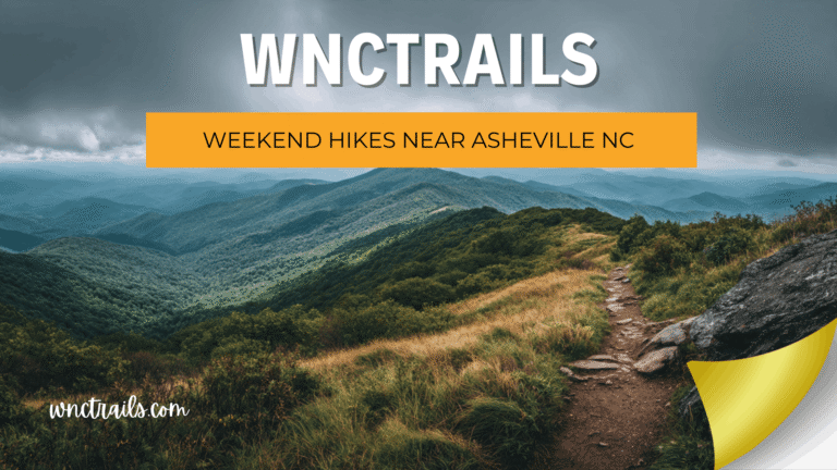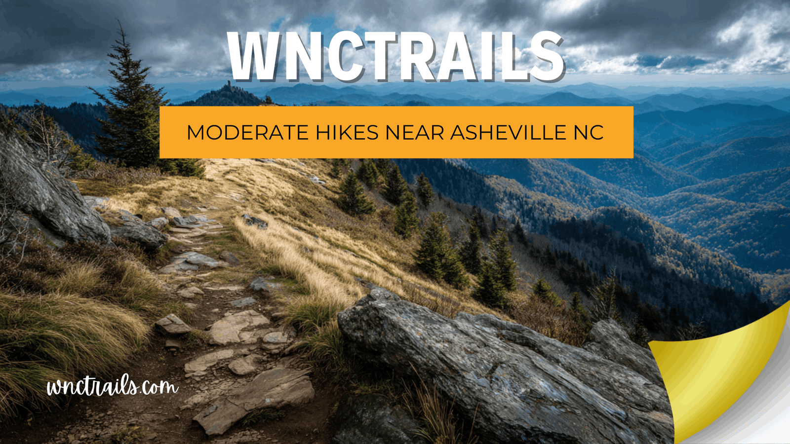
Moderate Hikes Near Asheville NC: Step Up Your Trail Game Safely
Recommended Tools
Disclosure: This page may contain affiliate links.
- Hiking Shoes ” Check current pricing
- Daypack ” Check current pricing
- Trekking Poles ” Check current pricing
You’ve done the short easy walks — now you’re ready for something more rewarding. But searching for “moderate hikes near Asheville NC” opens up a new problem: moderate on one platform means a stroll through the woods, while on another it means a 2,000-ft climb with exposed scrambling. Getting it wrong when you’re stepping up your difficulty isn’t just frustrating — it can be dangerous. At WNC Trails, every moderate-rated route is verified on the ground by local hikers who document real elevation profiles, technical features, and current conditions — so you know exactly what you’re getting into before you lace up.
What “Moderate” Actually Means on WNC Trails
The gap between “easy” and “hard” is enormous in Western North Carolina. A trail system that spans from 1,200-ft river valleys to 6,000-ft alpine summits cannot be reduced to three vague difficulty labels — not if those labels are going to mean anything useful to a hiker planning a real trip.
Our Local Definition of Moderate
On WNC Trails, a moderate rating means all of the following have been verified in person:
- ⛰️ Elevation gain of 300–700 ft per mile — sustained climbs present but not relentless
- 🪨 Some rocky or rooted surface — trail is clear and signed but footing requires attention
- 🌊 Stream crossings may be present — stepping stones or shallow fords under normal conditions
- 💪 Suitable for hikers with basic fitness — no prior technical climbing experience required
- ⏱️ Typical pace: 2–2.5 mph — expect 2–5 hours depending on distance
Anything that demands scrambling, route-finding, or sustained pitches above 700 ft/mile gets escalated to our strenuous category. We don’t round down.
12 Best Moderate Hikes Near Asheville NC (Locally Verified)
These seven routes represent the best step-up options for hikers ready to move beyond the easy tier. Each one has been walked and rated by WNC Trails local scouts, with conditions updated regularly throughout the year.
1. Black Balsam Knob — Pisgah National Forest (3.2 mi RT | Moderate | Bald Summit)
One of the most rewarding moderate hikes in all of WNC — a wide, grassy Art Loeb Trail section leading to a 6,214-ft open bald with sweeping views of the Black Mountains and beyond. The climb is steady but never brutal, and the surface is mostly solid ground. WNC Trails note: Trail is above 5,800 ft for most of its length — temperatures can drop 15°F below Asheville; always bring an extra layer. Parking: Art Loeb Trailhead at Black Balsam Road (FR-816) — unpaved but suitable for most vehicles; WNC Trails flags when it becomes impassable after rain.
2. Lover’s Leap Ridge Loop — Hot Springs (3.2 mi Loop | Moderate | River Valley Views)
The full ridge loop version of the Hot Springs classic (not just the easy overlook spur) takes you along a forested ridgeline with multiple viewpoints above the French Broad River. Rocky footing on the descent makes trekking poles helpful. Best season: Fall for leaf color; spring for wildflowers along the lower creek section. Crowd level: Moderate on weekends — lower than Blue Ridge Parkway equivalents of the same difficulty.
3. Mount Pisgah Summit Trail — Blue Ridge Parkway (2.6 mi RT | Moderate | Iconic Summit)
The classic Asheville-area summit hike. A steady, well-maintained climb through Fraser fir forest to the 5,721-ft summit tower with 360-degree views. The trail gains 700 ft over 1.3 miles — at the high end of moderate, but never technical. Seasonal alert: The Blue Ridge Parkway access road closes in winter and during ice events; WNC Trails updates the road status in real time. Parking: Mount Pisgah Campground lot — fee required, fills by mid-morning on summer/fall weekends.
4. Catawba Falls to Upper Falls — Old Fort (3.8 mi RT | Moderate | Double Waterfall)
Start at the popular lower Catawba Falls (100 ft tiered cascade) and continue the less-documented upper trail to the quieter 50-ft upper falls — a route that barely appears on major apps. Two stream crossings required; stepping-stone fords are passable under normal flow but knee-deep after heavy rain. WNC Trails advantage: Crossing conditions updated within 48 hrs of significant rainfall events — know before you go. Dogs: Allowed on leash; the crossings require some lift assistance for smaller breeds.
5. Tennent Mountain via Art Loeb Trail — Shining Rock Wilderness (5.0 mi RT | Moderate)
A seldom-crowded high-country traverse linking Black Balsam Road to the open rocky summit of Tennent Mountain (6,040 ft). The Art Loeb Trail here is wide and well-cairned across open balds, with only moderate elevation change after the initial climb. Why it’s a hidden gem: Most visitors stop at Black Balsam — continuing to Tennent gives you solitude on one of WNC’s best ridge walks. Note: No blazed markers inside the Shining Rock Wilderness boundary — WNC Trails provides a downloadable offline map essential for this section.
6. Chimney Rock Summit Trail — Chimney Rock State Park (3.8 mi RT | Moderate)
Skip the elevator — the hiking route to Chimney Rock’s 2,280-ft summit is a genuine moderate challenge on stone steps and switchback trails through a dramatic granite gorge. The full loop includes Hickory Nut Falls (404 ft — one of the tallest in the eastern US) and the rock face viewpoints. Fee required: State park entrance — WNC Trails links to current pricing and seasonal hours. Best for: Hikers wanting variety: waterfall, summit, and gorge views on a single route.
7. Fryingpan Mountain Tower — Pisgah National Forest (3.4 mi RT | Moderate | Fire Tower)
A steady climb through dense hardwood forest to a restored 1940s fire lookout tower at 5,340 ft — with panoramic views from an open cab 70 ft above the tree line. Virtually unknown outside local hiking circles and absent from most major trail directories. WNC Trails exclusive: Local scouts verified the access road and tower status in fall 2025 — the tower is open and climbable. Road note: FR-476 is unpaved and narrow for the last 2 miles; high-clearance recommended in wet conditions.
8. Rattlesnake Lodge Trail — Blue Ridge Parkway (4.0 mi RT | Moderate | Historic Ruins)
A gradual uphill hike leading to the remains of a historic early 1900s mountain lodge, surrounded by forest and seasonal views. The wide trail and steady grade make it approachable while still offering a moderate workout.
WNC Trails insight: Elevation gain is consistent but not steep — ideal for hikers building endurance.
Seasonal tip: Best visibility in winter when leaf cover is minimal and views open up along the ridge.
9. John Rock Loop — Pisgah National Forest (5.0 mi Loop | Moderate | Granite Overlook)
A scenic loop near Brevard featuring a steady forest climb that leads to a dramatic granite outcrop with expansive views of Looking Glass Rock and the surrounding valley.
WNC Trails insight: The final approach to the overlook involves exposed rock — use caution in wet conditions.
Route tip: Hiking clockwise provides a more gradual ascent and smoother descent.
10. Craggy Gardens Trail — Blue Ridge Parkway (1.9 mi RT | Moderate | Rhododendron Views)
A short but moderately steep trail leading to high-elevation viewpoints with panoramic mountain scenery. Known for its dense rhododendron tunnels along the path.
WNC Trails insight: Despite the short distance, elevation gain and rocky footing push this into the moderate category.
Best time to go: Mid-to-late June during peak rhododendron bloom.
11. Triple Falls & High Falls Loop — DuPont State Forest (3.0 mi Loop | Moderate | Waterfall Loop)
A well-maintained loop connecting two of DuPont State Forest’s most iconic waterfalls. The route features gentle grades, wide trails, and multiple scenic stops along the way.
WNC Trails insight: One of the most beginner-friendly moderate hikes thanks to clear signage and stable terrain.
Crowd note: Arrive early — this is one of the most visited waterfall areas in the region.
12. Bearwallow Mountain Trail — Near Asheville (2.0 mi RT | Moderate | Open Summit)
A short but steady climb through open forest leading to a grassy summit with sweeping 360-degree views. A great option for a quick but rewarding hike close to Asheville.
WNC Trails insight: Minimal shade near the summit — sun exposure can be intense in summer.
Access tip: Parking is limited near the trailhead; early arrival is recommended on weekends.
These trails are accessible most of the year, though weather and seasonal conditions can affect difficulty. Always check trail status and parking information before heading out, especially during leaf season or after heavy rain.
Wrong Difficulty Ratings: Why They’re More Dangerous at the Moderate Level
A mislabeled easy trail is annoying. A mislabeled moderate trail — one that’s actually strenuous — can lead to real trouble: exhaustion at altitude, unprepared hikers caught by afternoon thunderstorms, or dangerous descents on trails that are far more technical than the listing suggested.
The 3 Most Common Ways Trail Ratings Get It Wrong
- Total elevation vs. per-mile gain: A trail with 1,500 ft of total gain spread over 8 miles is genuinely moderate. The same 1,500 ft over 2 miles is strenuous. Many platforms only show the total — WNC Trails shows both.
- Seasonal condition gap: A trail rated moderate in dry August can be a technical scramble in March with mud, ice, or high stream crossings. Ratings without seasonal context are only half the story.
- User base skew: When a trail’s reviews are dominated by trail runners and experienced backpackers, the average rating gets pulled toward easier — even on technically demanding routes. WNC Trails filters feedback by hiker experience level.
Moderate Hikes Near Asheville by Season: When to Go and What to Expect
| Season | Trail Conditions | Key Hazard to Check | Best Moderate Picks |
|---|---|---|---|
| Spring (Mar–May) | Wet, muddy; stream crossings high; trails above 4,500 ft may still have snow in March | Crossing levels, mud depth | Lover’s Leap Ridge Loop, Chimney Rock |
| Summer (Jun–Aug) | Stable and dry; afternoon thunderstorms above 5,000 ft common from July onward | Lightning exposure on open balds | Black Balsam, Tennent Mountain (start early) |
| Fall (Sep–Nov) | Ideal conditions; leaf color peaks mid-Oct at elevation; parkway closures start Nov | Parkway road status, crowded lots | Mount Pisgah, Fryingpan Tower |
| Winter (Dec–Feb) | Ice possible above 3,500 ft; many BRP access roads closed; rewarding for prepared hikers | Ice & road closures | Catawba Falls (lower elevation stays open) |
Check the WNC Trails conditions tab for each trail before you go — seasonal hazard flags are updated by local contributors and our trail team throughout the year.
Parking & Access for Moderate Trails: What to Know Before You Drive
Popular moderate trails near Asheville — especially those accessed via the Blue Ridge Parkway — face serious parking pressure on weekends between May and October. Unlike easy trails near town, many of these trailheads are located 45–60 minutes from Asheville with no overflow options nearby. Arriving to a full lot with no alternative isn’t just frustrating; it can mean a wasted half-day.
WNC Trails’ Trailhead Intelligence for Moderate Routes
- 🅿️ Exact GPS coordinates for every trailhead — not just the general area
- ⏰ Recommended arrival windows by season and day of week (e.g., “Arrive before 8 a.m. on fall weekends for Black Balsam”)
- 🛣️ Access road surface and clearance notes — critical for FR-816, FR-476, and other unpaved Forest Service roads
- 🔄 Nearby alternative trailheads when primary lots are full
- 📋 Permit and reservation requirements — Shining Rock Wilderness, GSMNP trails, and some state park routes
Key Considerations
- Trail Difficulty: Moderate hikes often involve some elevation gain (typically 400“1,000 feet), rocky or root-laden sections, and occasional stream crossings. Check recent trail reports for current conditions.
- Distance and Time: Most moderate hikes take 2“4 hours to complete. Factor in extra time for photography, picnicking, or enjoying summit views.
- Weather: Mountain weather can change quickly. Dress in layers, carry rain gear, and avoid exposed ridges during storms.
- Navigation: While these trails are generally well-marked, some intersections can be confusing. Bring a paper map or use a GPS app with offline access.
- Parking and Access: Many popular trailheads fill early on weekends and holidays. Arrive early or plan a weekday visit for a quieter experience.
- Leave No Trace: Stay on marked paths, pack out trash, and respect wildlife to help preserve these special places for others.
Common Use Cases
- Weekend Day Trips: Moderate hikes near Asheville NC are perfect for visitors looking for a memorable outing within a half-days drive.
- Family Adventures: Many trails, like those in DuPont State Forest, offer manageable distances and scenic stops suitable for older children and teens.
- Fitness and Training: Local hikers use these moderate routes to build endurance or prep for longer mountain treks.
- Photography and Nature Watching: Trails like Craggy Gardens and Bearwallow Mountain are prime spots for wildflowers, birding, and sunrise or sunset photography.
- Seasonal Exploration: Spring wildflowers, summer greenery, fall foliage, and occasional winter snow all offer unique perspectives on these trails throughout the year.
Find Your Next Moderate Challenge in Western North Carolina
Moving from easy to moderate trails is one of the most rewarding steps a hiker can take — and Western North Carolina is one of the best places in the country to make that progression. With verified elevation profiles, honest difficulty assessments, and real-time seasonal conditions, WNC Trails gives you everything you need to step up your game with confidence — no unpleasant surprises, no dangerous mismatches between what a trail promises and what it delivers.
Western North Carolina’s ridgelines, balds, and gorges are waiting — and now you have a guide that tells you the whole truth about every one of them.
Frequently Asked Questions
- What makes a hike œmoderate near Asheville?
Moderate hikes typically involve 3“8 miles round-trip, 400“1,000 feet of elevation gain, and a mix of terrain that challenges but doesnt overwhelm most hikers with some experience. - Are dogs allowed on these trails?
Most moderate hikes near Asheville NC are dog-friendly, but always check specific trail regulations. Leashes are required on nearly all public lands. - When is the best time to hike these trails?
Spring through fall offers the most comfortable weather and scenic variety. Avoid high-elevation trails during winter storms or icy conditions. - Do I need a permit or fee for trail access?
Most trails near Asheville, including those in Pisgah and DuPont, are free to access. Some parking areas (such as at trailheads on the Blue Ridge Parkway) may require a small fee or pass. - Can I hike these trails with children?
Many moderate trails are suitable for school-age children with hiking experience. Choose shorter routes and plan plenty of breaks for a positive experience. - Are there restroom facilities at the trailheads?
Some popular trailheads offer restrooms or vault toilets, but many do not. Plan accordingly and practice Leave No Trace principles. - What should I bring for a moderate hike?
Carry water, snacks, weather-appropriate clothing, navigation tools, and a basic first aid kit. Trekking poles can help on steeper sections.
For more detailed trail descriptions, maps, and seasonal tips, explore additional WNC Trails resources or connect with local ranger stations before your hike. With the right preparation, moderate hikes near Asheville NC can deliver some of the regions most rewarding outdoor experiences.
Continue Exploring These Trails
- Hard Hikes Near Asheville Nc
- Short Hikes Near Asheville Nc
- Blue Ridge Parkway Hikes
- Pisgah National Forest Hikes
🥾 Ready to step it up? Browse every verified moderate trail near Asheville — filter by length, elevation, season, and more.
👉 See All Moderate Hikes on WNC Trails → | 👉 Check Today’s Trail Conditions →