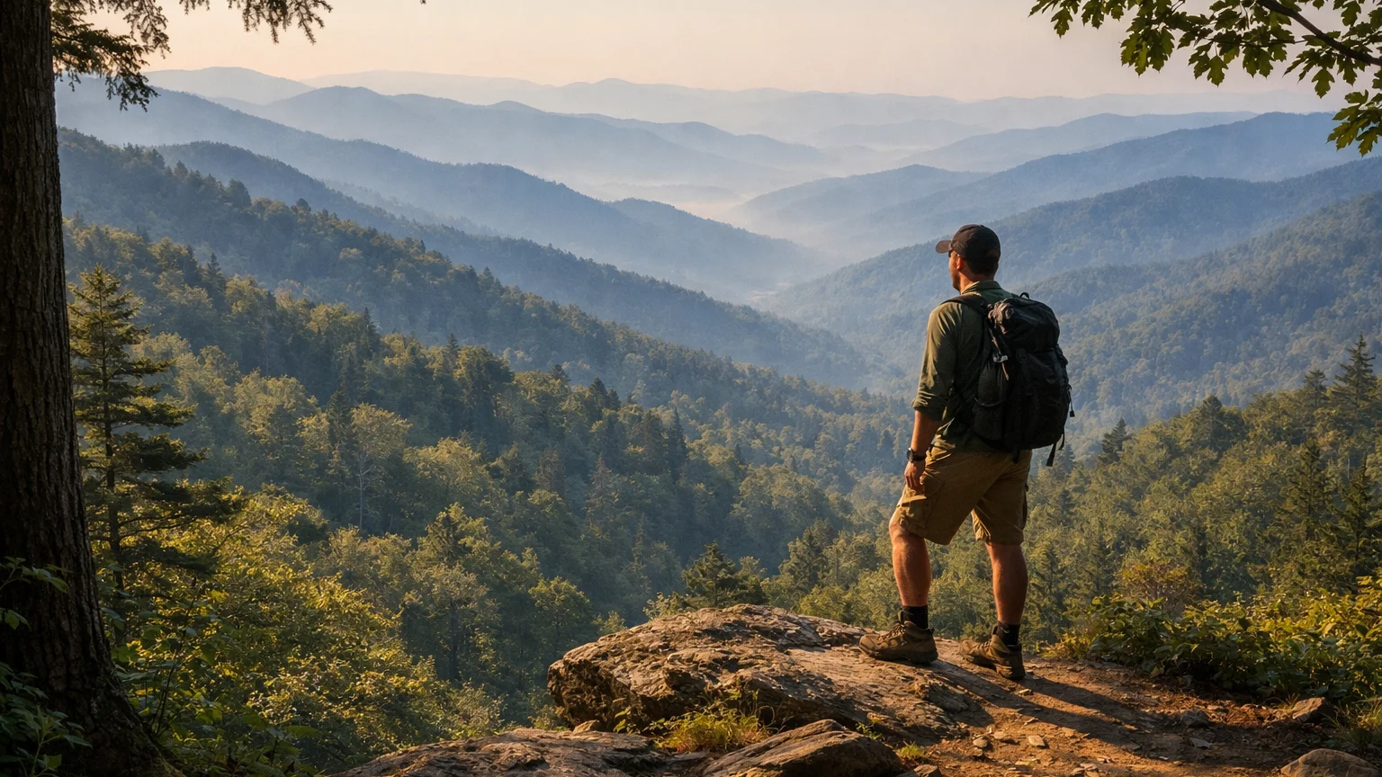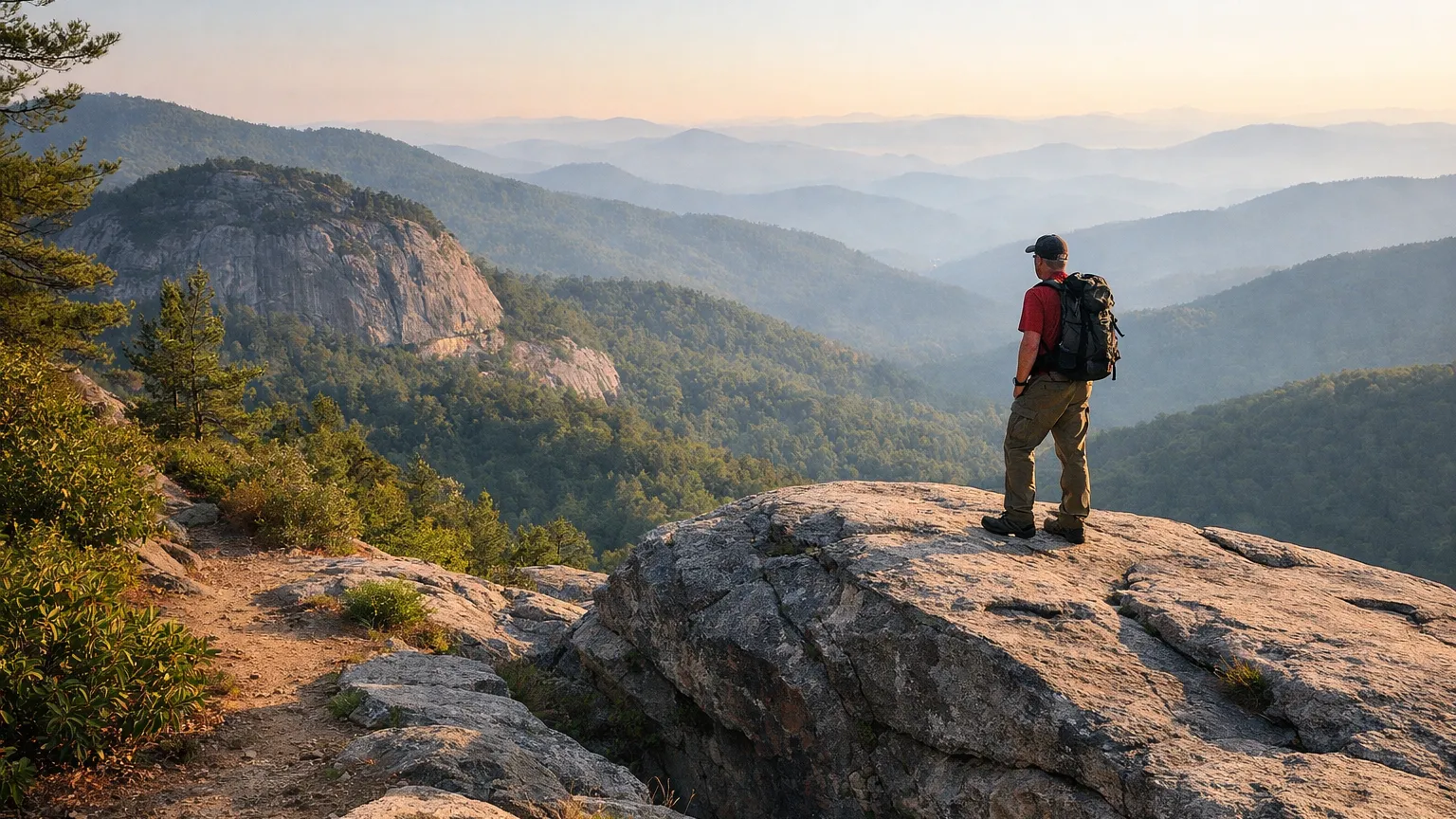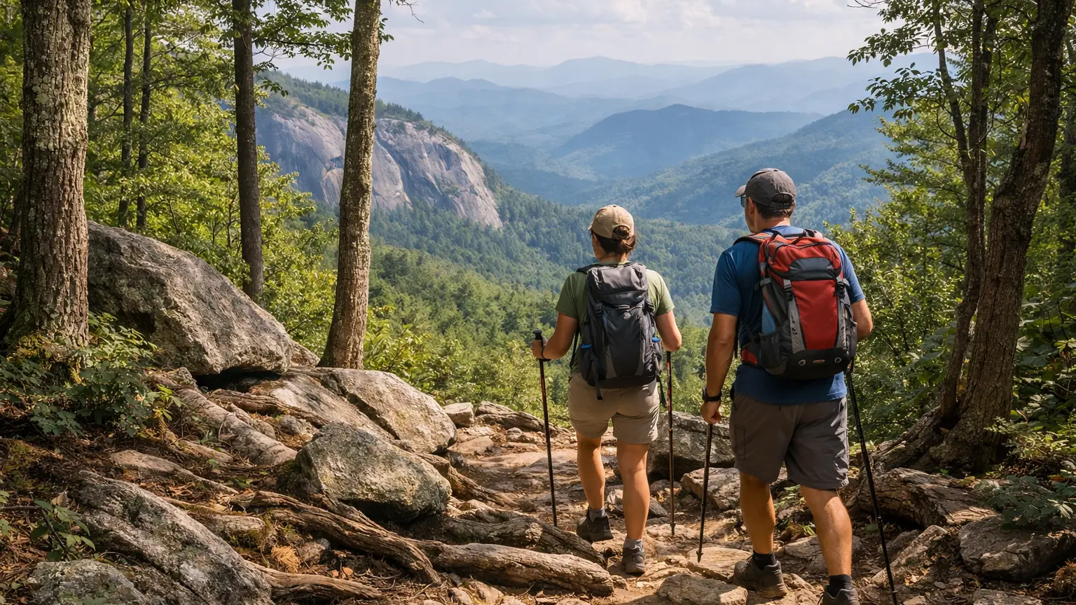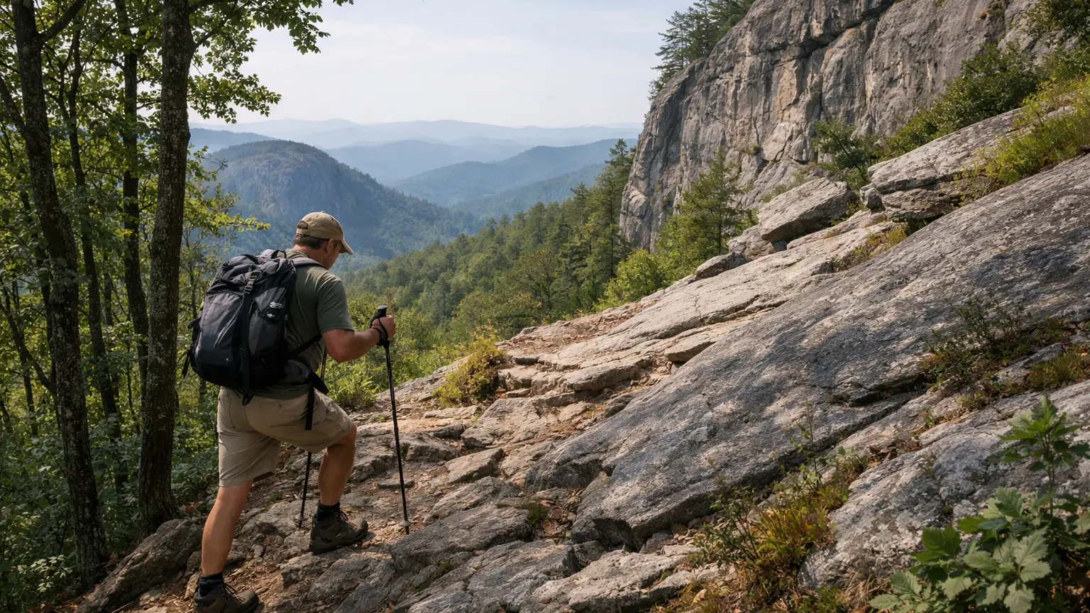
Not every trail around Highlands and Cashiers is a stroll to a waterfall overlook. Scattered through this cluster of the Nantahala and Fishhawk Mountains are routes with real elevation, exposed rock, and enough mileage to test a hiker who’s outgrown the easy stuff. If you’re trying to figure out which of these trails actually deserve the “hard” label — and which ones are worth the burn in your legs — this page breaks it down using only verified trail data. We’ll cover the standout hard hikes, how we judged them, what the trailheads and access roads are really like, and the seasonal quirks that can change your plans.
The Hard Highlands and Cashiers Hikes Worth Doing
1. Whiteside Mountain Trail
This 2.0-mile loop is labeled “more difficult,” and that’s earned. The trail climbs to 4,930 feet — the highest point on the Eastern Continental Divide — and skirts 750-foot cliffs along the way. The payoff is one of the more dramatic view corridors in the region, but the exposure near the cliff edges means this isn’t a trail to zone out on. It’s short by mileage, but the elevation change and rocky footing make it feel longer than the number suggests.
2. Bartram Trail (NC Section)
At roughly 80 miles through North Carolina, the Bartram Trail is officially rated strenuous as a long-distance route, tracing naturalist William Bartram’s 18th-century path through the Fishhawk and Nantahala Mountains. Most hikers won’t do the whole thing in one outing, but sections that pass through the Highlands-Cashiers area offer serious mileage and sustained terrain for anyone looking to build a multi-hour or multi-day hard hike rather than a quick summit.
3. Powerline Road Trail
At 5.52 miles, this is one of the longer connector routes in the Panthertown Valley network, linking to Rattlesnake Knob, Riding Ford, and Panthertown Valley trails. It’s not a technical climb like Whiteside, but the distance and the fact that it ties into several other trails means you can rack up serious mileage if you link it with Rattlesnake Knob or Deep Gap for a full day out.
4. Rattlesnake Knob Trail
A 1.56-mile trail that connects to Powerline Road, Rattlesnake Knob works best as part of a longer combined route rather than a standalone hike. On its own it’s moderate, but paired with Powerline Road and a return through Panthertown, it becomes a genuinely demanding day that tests navigation as much as fitness.
5. Blackrock Trail
This 1.7-mile trail connects Panthertown Valley Trail and Overlook Trail, and it’s a common piece of longer loop hikes through Panthertown. Alone it’s a moderate connector, but it’s included here because most hikers doing a “hard” version of Panthertown are stringing this together with Powerline Road, Deep Gap, or the Overlook Trail for total mileage that adds up fast.
6. Deep Gap Trail
Deep Gap is 1.36 miles and connects to Panthertown Valley Trail, but the detail that matters most for planning is access: FS 71, the forest service road that reaches this trailhead, closes seasonally from April 1 to January 1. If you’re building a hard Panthertown loop that includes Deep Gap, you need to check whether that access road is open before you commit to a route that depends on it.
How We Ranked These
We didn’t just pull the longest trails on the map and call them hard. Four things mattered most:
- Official difficulty rating. Where the data explicitly labels a trail “more difficult” or “strenuous,” like Whiteside Mountain and the Bartram Trail, we weighted that heavily over our own impressions.
- Elevation and exposure, not just mileage. Whiteside Mountain is only 2 miles but includes real cliff exposure and a summit gain to 4,930 feet, which makes it harder than several longer, flatter trails in this cluster.
- Combinability. Several Panthertown-area trails — Powerline Road, Rattlesnake Knob, Blackrock, Deep Gap — are individually moderate but become hard hikes when chained together, which is how most experienced hikers actually use this trail network.
- Access friction. A trail that requires a seasonally gated road or a rough approach adds real difficulty to the overall day, even if the trail tread itself isn’t technical.
Parking and Trailhead Reality
Whiteside Mountain has a defined trailhead and lot, but because it’s one of the most photographed hikes in the Highlands area, that lot can fill during peak weekends and leaf season. Arriving early in the day gives you the best shot at a spot and, as a bonus, quieter cliff-top views before the crowds build.
Panthertown Valley’s trail network — Powerline Road, Rattlesnake Knob, Blackrock, Deep Gap, Little Green, Overlook — is accessed through multiple entry points, including the east and west parking areas connected by the Panthertown Valley Trail itself. Gravel forest service roads lead into several of these lots, and conditions on those roads can vary with weather, so check current conditions before you go, especially after heavy rain.
The Bartram Trail’s NC section has multiple access points along its roughly 80-mile length rather than one central trailhead, so plan your entry and exit points around the specific segment you intend to hike, not around the trail as a whole.
Seasonal Notes
The most important seasonal detail in this cluster is Deep Gap Trail’s access road, FS 71, which closes from April 1 to January 1 each year. If your hard-hike plan for Panthertown depends on reaching Deep Gap directly, that window matters — outside of it, you’ll need to approach from a different trail in the network.
Whiteside Mountain’s exposed rock sections can hold ice longer than surrounding terrain in colder months, and the cliff-edge sections of the loop are not the place to test uncertain footing. Fall brings the heaviest crowds to Whiteside given the view payoff, so if solitude matters more to you than fall color, consider a weekday or an off-peak season visit.
Long routes like the Bartram Trail or a combined Panthertown day (Powerline Road plus Rattlesnake Knob or Blackrock) mean more hours exposed to changing mountain weather. Afternoon storms build quickly in this part of WNC, so starting early isn’t just about parking — it’s about finishing exposed or high-elevation sections before weather turns.
Access Notes
None of the trails in this list require a permit based on the verified data here, but that doesn’t mean access is frictionless. Gravel roads serve several Panthertown trailheads, and the Deep Gap approach road has a defined seasonal closure worth building your trip around. For the Bartram Trail, because it’s a long-distance route crossing multiple land areas, treat each section as its own hike with its own access point rather than assuming one trailhead serves the whole thing.
Carry more water than you think you’ll need on the longer connector routes — Powerline Road, the combined Panthertown loops, and any extended Bartram Trail segment don’t have reliable water sources along the way based on what’s documented here. A paper map or downloaded offline map is worth having in the Panthertown network specifically, since the trails interconnect enough that it’s easy to end up on a different trail than you intended.
Frequently Asked Questions
What is the hardest single hike in the Highlands-Cashiers area?
Based on official difficulty ratings, Whiteside Mountain Trail (rated “more difficult”) and the Bartram Trail’s NC section (rated strenuous as a long-distance route) are the two trails in this cluster explicitly labeled at the harder end. Whiteside delivers its difficulty in a short 2-mile loop with cliff exposure; the Bartram Trail delivers it through sustained long-distance mileage.
Can I combine Panthertown trails into a harder day hike?
Yes. Powerline Road (5.52 miles), Rattlesnake Knob (1.56 miles), Blackrock (1.7 miles), and Deep Gap (1.36 miles) all connect within the Panthertown Valley trail network, and hikers commonly link several of these together for a longer, more demanding day than any single trail offers on its own.
Is Whiteside Mountain safe for hikers with a fear of heights?
The trail runs along 750-foot cliffs, and while the path itself is maintained, the exposure is real and constant along sections of the loop. If cliff-edge exposure is a concern, this may not be the right hard hike for you, even though the mileage is short.
Do I need to worry about road closures before hiking Deep Gap Trail?
Yes. FS 71, the access road to Deep Gap Trail, closes seasonally from April 1 to January 1. Check current conditions and access status before planning a route that depends on reaching this trailhead directly.
Is the Bartram Trail realistic for a day hike?
The full NC section is around 80 miles, so a day hike only covers one segment of it. Treat it as a long-distance trail with multiple access points, and choose a specific section based on the mileage and time you actually have, rather than trying to experience “the Bartram Trail” in a single outing.
If you want to compare these hard hikes against every other trail in the Highlands-Cashiers area — filtered by difficulty, distance, and current conditions — browse the full WNC Trails directory at WNC Trails directory. As always, check current conditions before you head out, especially for trails with seasonal road access or exposed terrain.
Related Pages
- Hikes Near Gorges State Park
- Family Friendly Highlands And Cashiers Hikes
Want more routes in this area? See our complete guide to Highlands and Cashiers hikes.