If you searched for hard Bryson City and Deep Creek hikes expecting a list of grueling, thigh-burning climbs, we want to be upfront with you before you plan your day around the wrong trail. The Deep Creek section of Great Smoky Mountains National Park, just outside Bryson City, is known more for its waterfalls and gentle creekside walking than for punishing elevation gain. That’s not a knock on the area — it’s just accurate. This page breaks down which of the verified Deep Creek trails come closest to a real challenge, why they’re harder relative to the rest of the cluster, and how to plan around the steep, uneven sections that do exist. We’ll also tell you honestly where the “hard” label doesn’t really apply, so you’re not surprised standing at a trailhead expecting switchbacks and finding a stroller-friendly path instead. For trails beyond Deep Creek, browse hiking trails in Western North Carolina.
The Toughest Trails in the Deep Creek Cluster
None of the named trails in this Deep Creek and Bryson City cluster are classified as strenuous in the verified trail data we work from — and we’re not going to invent a rugged backcountry route just to fit the keyword. What we can tell you honestly is which of the verified trails involve the steepest grades, the most uneven footing, or the longest combined distance if you’re looking to turn a moderate day into something more demanding.
1. Deep Creek Waterfalls Loop
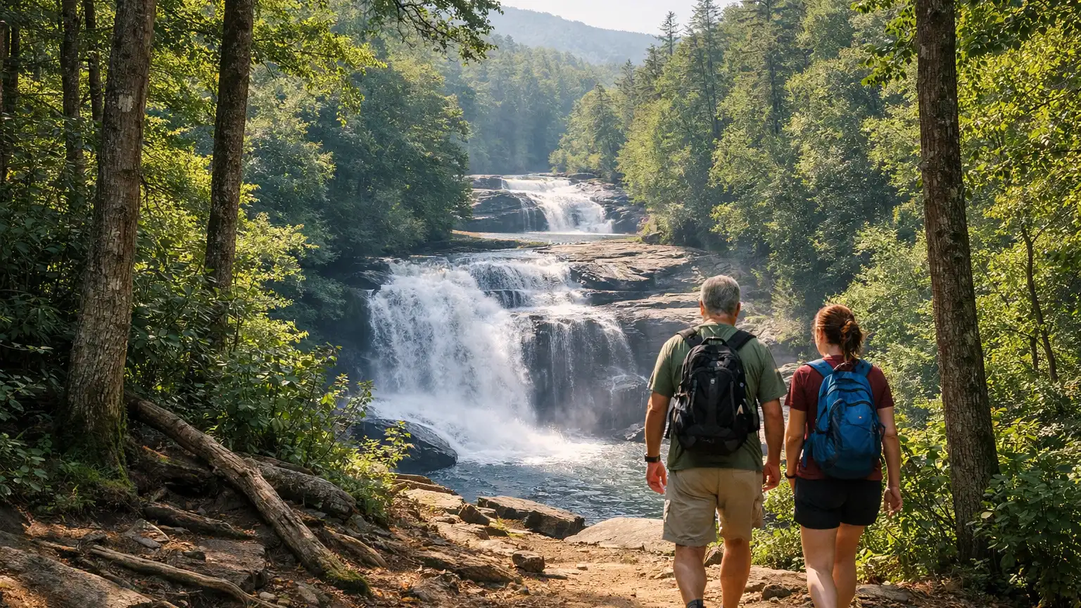
Distance: 2.4 miles round trip. Difficulty: Moderate, with steep sections, stairs, and roots along the way. This is the closest thing to a genuine physical test in the cluster. The loop strings together three waterfalls — Juney Whank Falls, Indian Creek Falls, and Tom Branch Falls — and the connecting sections between them are where the trail earns its moderate rating. Expect uneven footing, a few staircases, and enough elevation change to notice it in your legs, especially on the return climb. If you’re set on finding the hardest single hike in this area, this loop is it.
2. Juney Whank Falls Spur
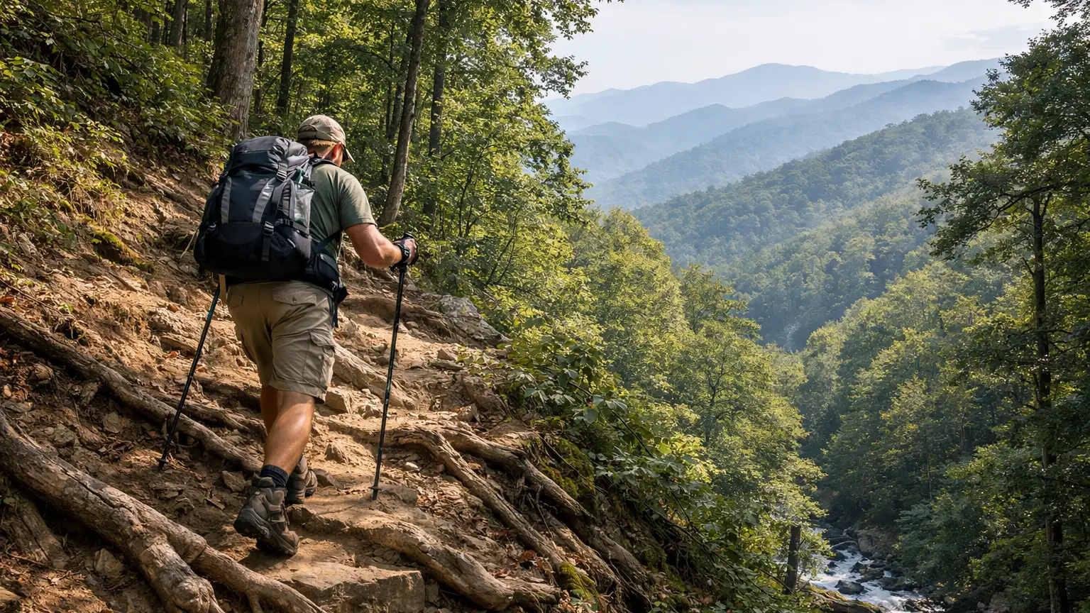
This is a short but genuinely steep spur trail leading to an 80-foot waterfall — one of the taller drops in the immediate Deep Creek area. The distance is brief, but don’t let that fool you: the grade climbs quickly, and the footing can be loose or slick depending on recent rain. Pairing this spur with the full Waterfalls Loop is the closest thing to a demanding half-day hike you’ll find in this cluster.
3. Deep Creek Trail to Indian Creek Falls (as an add-on)
On its own, this route is a bit over a mile one way with roughly 160 feet of elevation gain, rated Easy — not a hard hike by any measure. It passes both Tom Branch Falls and Indian Creek Falls along the way. But if you’re trying to build a longer, more strenuous day, hiking out to Indian Creek Falls and back, then adding the Juney Whank spur, effectively stacks mileage and elevation change into something noticeably more demanding than any single segment alone.
If you came here hoping for a true backcountry slog, the honest answer is that this specific verified cluster doesn’t have one. What it does have is a moderate loop with real elevation and footing challenges, and a steep short spur that surprises people who assume all Deep Creek trails are flat. Combining segments is the practical way to add difficulty without inventing trails that don’t exist in this area.
How We Ranked These
We didn’t rank these hikes by vibes or guesswork. Three criteria drove the order above:
- Elevation and grade, as documented. The Waterfalls Loop and the Juney Whank spur are the only two segments in this cluster with noted steep sections — everything else in the verified data is flat or gently rolling.
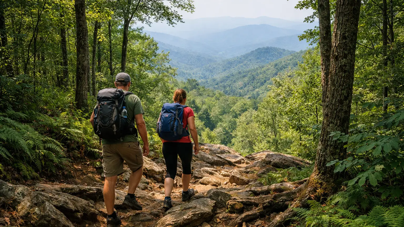
- Trail surface and footing. Stairs, roots, and uneven ground add real physical demand even on a short trail, which is why Juney Whank’s brief spur ranks above longer but smoother routes.
- Honest scalability. We considered whether a trail could reasonably be combined with others to build a tougher day, since that’s often what hikers searching for “hard hikes” are actually after when the immediate area skews easy.
Parking and Trailhead Reality
Deep Creek’s trailheads sit near the Deep Creek Picnic Area, which also serves as a hub for fishing access and reservable picnic sites. Because the waterfalls draw steady foot traffic — especially the Waterfalls Loop, which hits all three named falls in one outing — the trailhead lot can fill up on weekends and during peak visitation windows. If you’re aiming for the steeper sections of the loop or the Juney Whank spur, arriving earlier in the day gives you a better shot at close parking and quieter trail conditions on the narrower, root-covered stretches. Check current conditions before you go, since lot capacity and any temporary closures can shift.
Seasonal Notes
Wet weather changes the difficulty math on these trails more than most people expect. The stairs and root sections on the Waterfalls Loop get noticeably slicker after rain, and the steep grade on the Juney Whank spur turns from “steep but manageable” to genuinely tricky footing when the ground is saturated. Fall leaf season brings heavier crowds to all three waterfalls, which can make the narrower sections of trail feel more congested than the mileage suggests. If your goal is a harder, more physically engaging hike without the crowd factor, drier weather outside peak leaf season tends to give you a truer sense of the trail’s actual difficulty.
Access Notes
The lower section of Deep Creek Trail is one of the few trails in the park open to biking, so if you’re hiking that portion, expect to share the path with cyclists — not a difficulty factor exactly, but worth knowing if you’re trying to gauge how technical or quiet a given stretch will feel. None of the trails covered here require a permit for day use, but always verify current park guidance before your trip since policies and access notes can change.
Frequently Asked Questions
Is there a truly strenuous hike near Deep Creek and Bryson City?
Based on verified trail data for this cluster, no single trail is rated strenuous. The Deep Creek Waterfalls Loop, at moderate difficulty with steep sections and stairs, is the most demanding standalone option.
Which trail has the steepest climb?
The Juney Whank Falls spur is short but steep, leading up to an 80-foot waterfall. It’s the most abrupt elevation change in the cluster despite its brief length.
Can I combine trails for a harder day?
Yes. Hiking the full Deep Creek Waterfalls Loop, then adding the Juney Whank spur or the out-and-back to Indian Creek Falls, stacks distance and elevation change into a noticeably tougher outing than any single segment.
Are these trails good for kids or beginners if I want an easier version?
The Deep Creek Trail to Indian Creek Falls and the lower section of Deep Creek Trail are both rated Easy and are reasonable choices if you want the waterfall scenery without the steeper stair sections found on the full loop.
Is parking difficult near these trailheads?
The Deep Creek Picnic Area and nearby trailheads see steady traffic, especially on weekends and during fall color season. Arriving earlier in the day improves your odds of easy parking.
For a full, filterable look at every verified trail near Bryson City — sorted by difficulty, distance, and current conditions — browse the WNC Trails directory. It’s worth checking before you head out, since conditions on steeper sections like the Waterfalls Loop and Juney Whank spur can change quickly with weather.
Related Pages
- Long Bryson City And Deep Creek Hikes
- Family Friendly Bryson City And Deep Creek Hikes
Want more routes in this area? See our complete guide to Bryson City and Deep Creek hikes.